With a MapRun event planned for this evening, in Totton, which is just west of Southampton, it made sense to spend the day in the vicinity. The skies were clear of wet stuff, and the Isle of Wight was our destination of choice. This made for a day of logistics, with a return ferry and a scenic bus loop to make, before heading to the start of the MapRun event at 6.30pm.
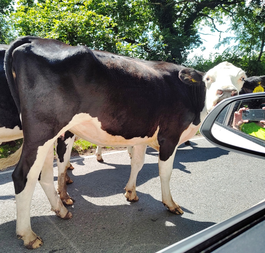
We departed a little later than planned (nothing new), but made good time as we headed south, on larger, faster roads than many we’ve been on so far Google had us arriving at the Lymington ferry terminal with about 25 minutes to spare – plenty of time to negotiate with the parking ticket machine, and secure tickets for the 12pm ferry. However, nature had other ideas. About 5 miles before Lymington, the traffic ahead came to a sudden standstill. Accident? Congestion? No – just a herd of (big) cows meandering down the road. We inched our way through them as slowly as possible. One of them got quite aggressive, standing its ground and staring us down, before reluctantly joining its friends and moooving on (sorry).
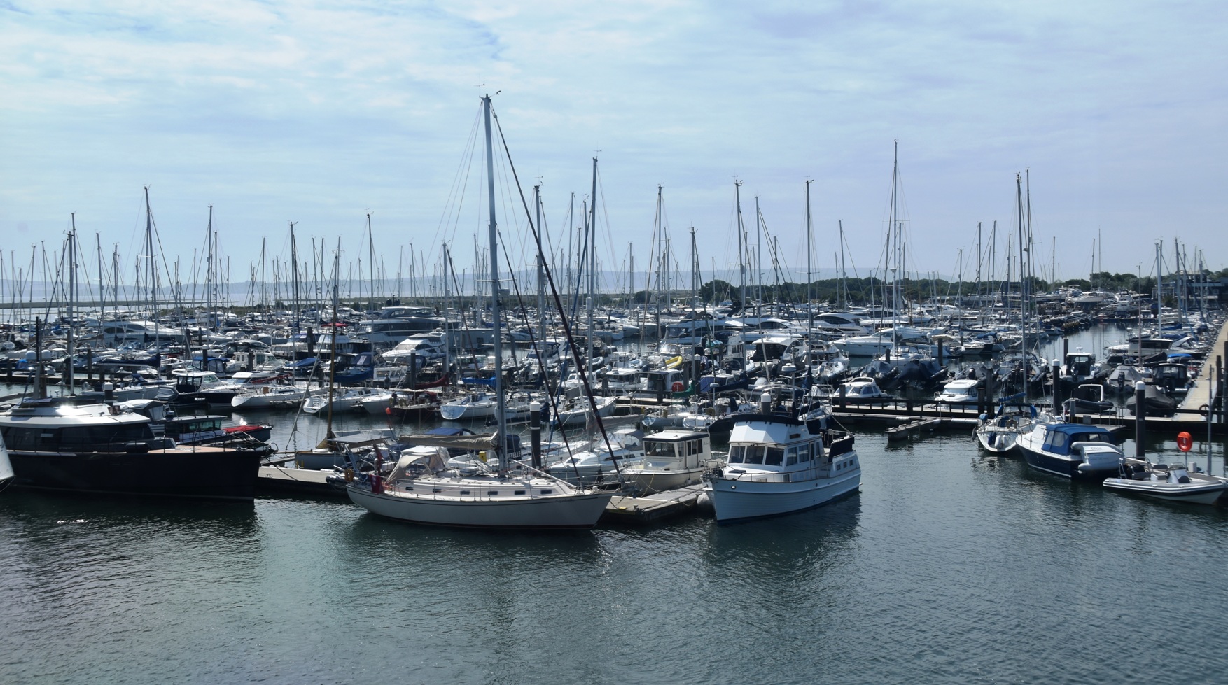
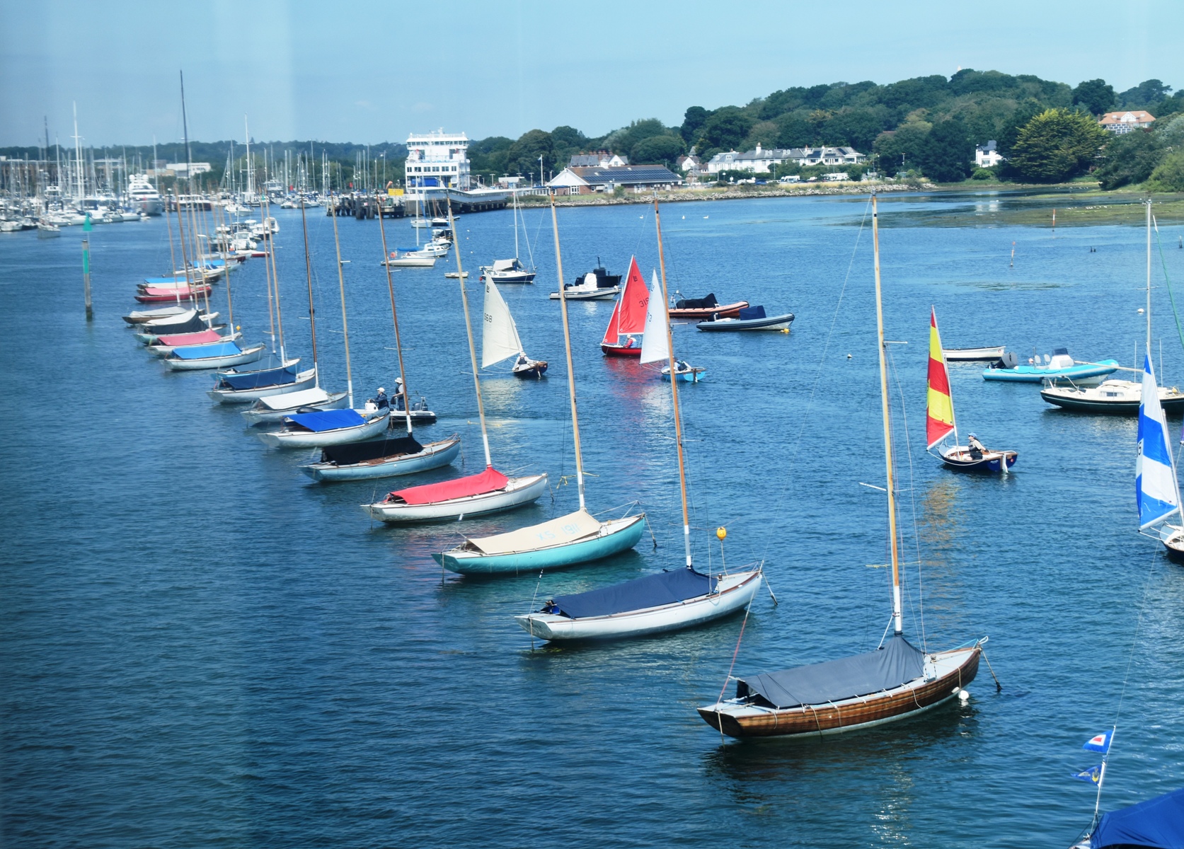
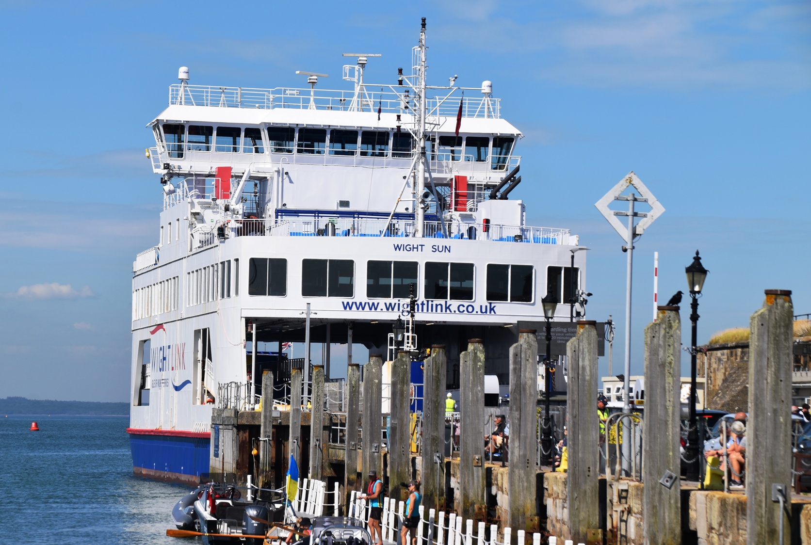
Time was slipping away, and we were in danger of missing the ferry. Having safely navigated through the cows, we were delayed again by ponies with foals. Finally we pulled into the car park, dashed to the ferry ticket machine (me) and the parking ticket machine (Ian). I couldn’t get a ticket for 12pm, so settled for the next one at 1pm. But the very nice man at the gate waved us through, and said we could catch any ferry back. We climbed aboard and settled in for the 40 minute voyage. Lydmington’s harbour was full of boats of all sizes. Captain Kumamon was in his element, happy to be on a seagoing vessel again – even if it wasn’t up to his usual standard.
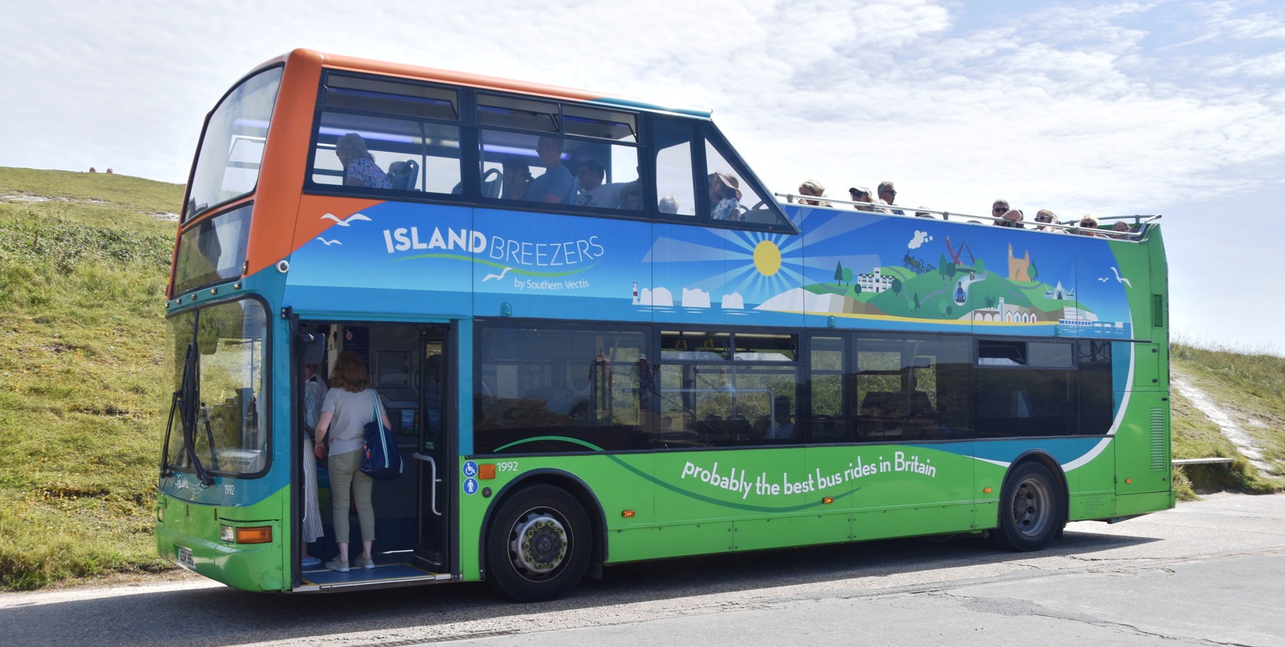
We disembarked in the quaint seaside town of Yarmouth, on the west side of the Isle of Wight. It was a perfect day, and little boats dotted the water. We headed to the bus, and bought a ticket for the “Needles Breezer”, a double decker Hop On Hop Off service that makes a scenic loop to the main attraction of this end of the island, The Needles.
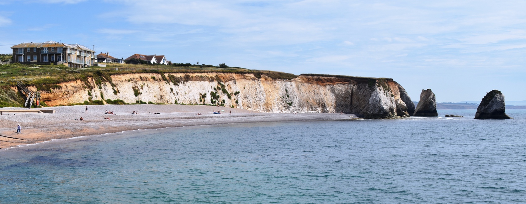
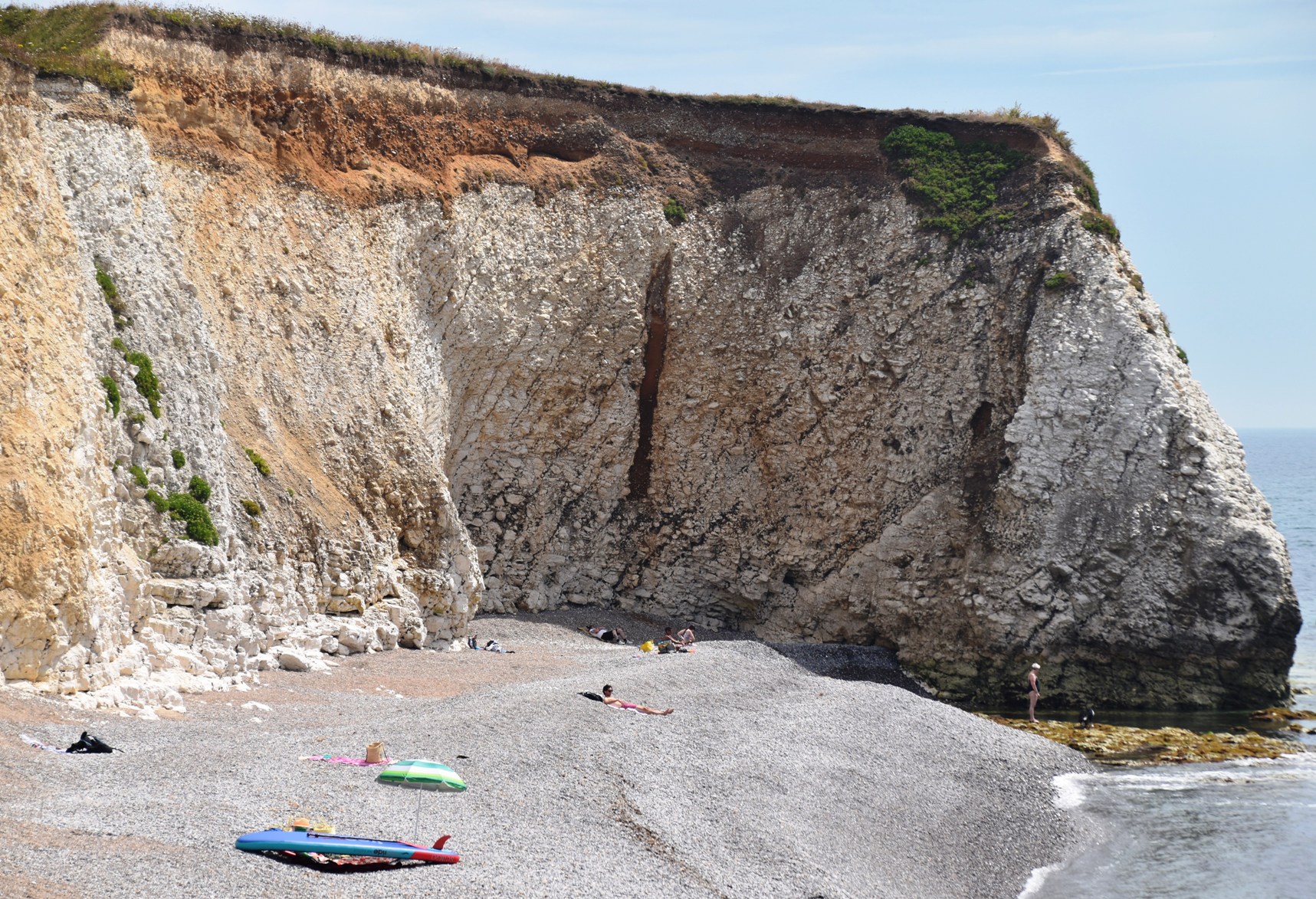
Lunch at the beach sounded appealing, so we got off at Freshwater Bay, and admired its cliffs and gently curving bay. There was some sand, but it was mostly pebbles, which didn’t deter people from lying on it. We saw a helicopter heading seaward, followed by the coast guard rescue boat. We didn’t find out what happened, but drama seemed to be following us.
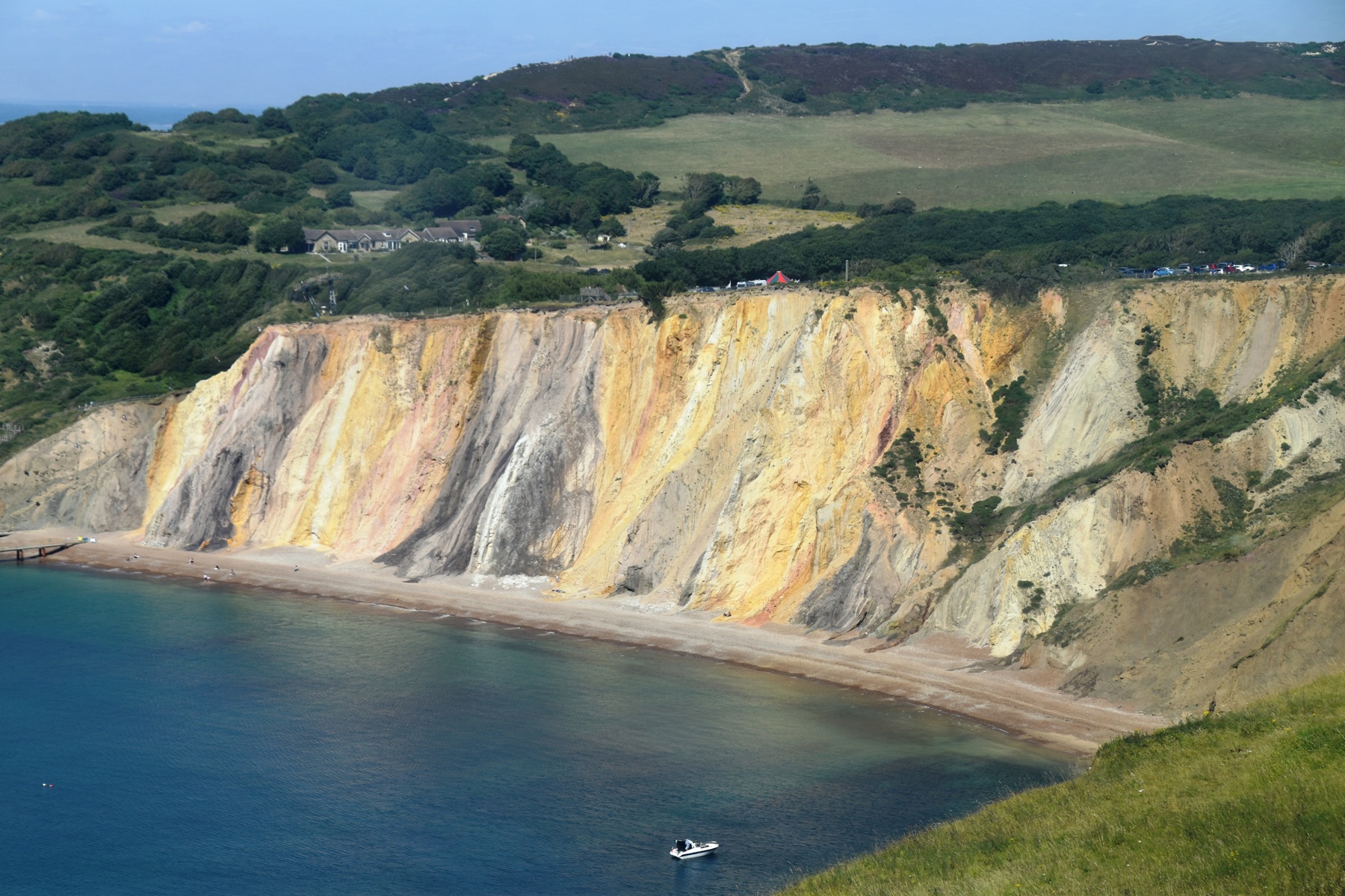
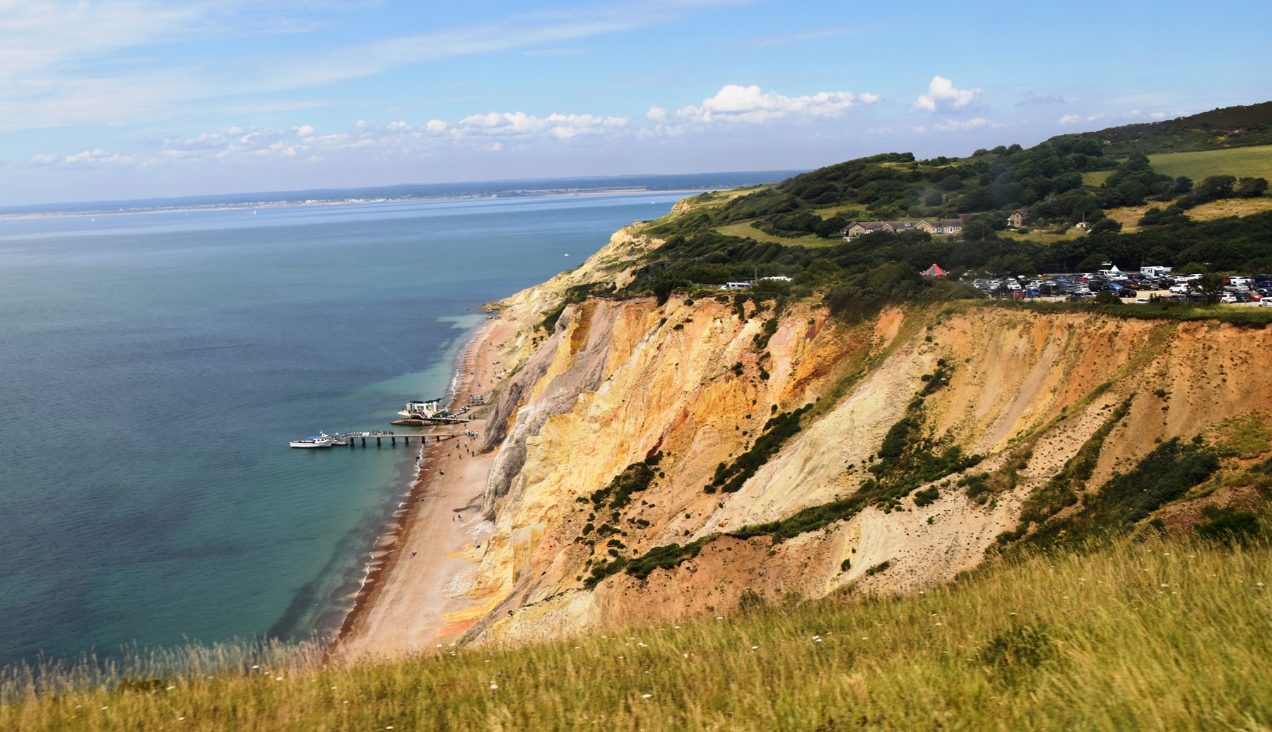
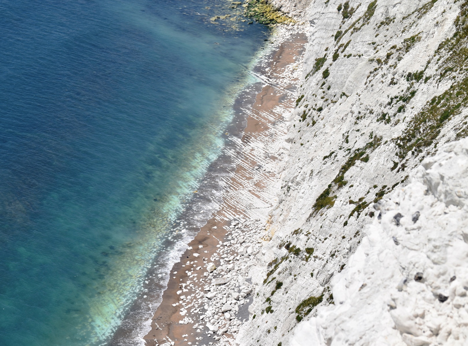
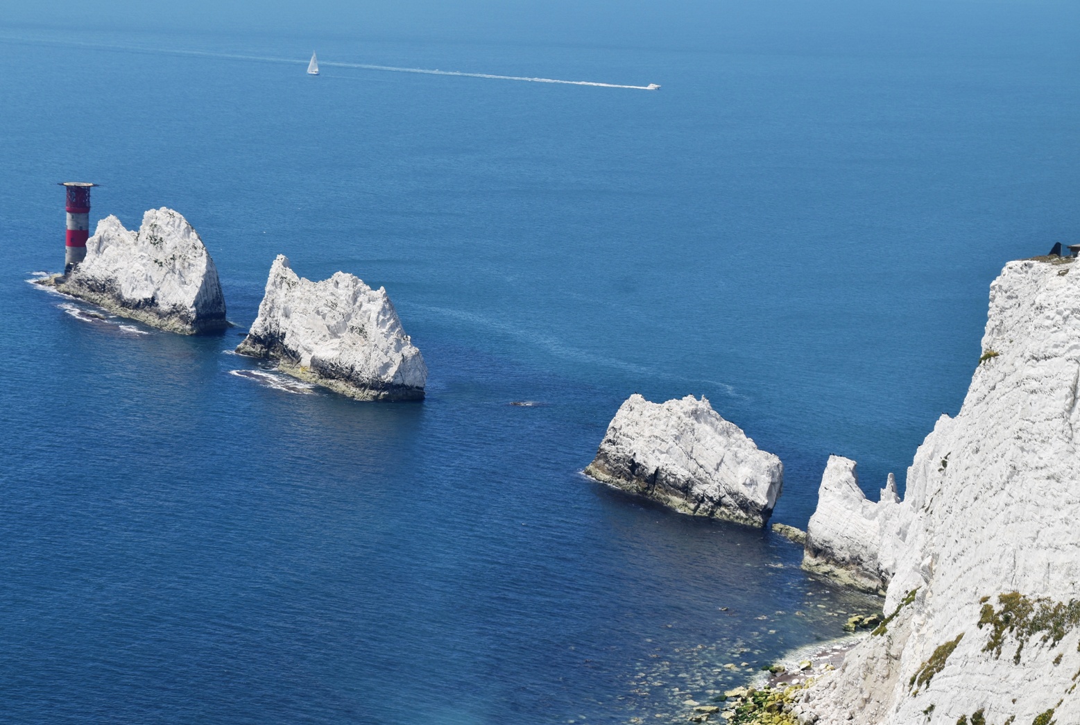
We reboarded the bus, bound for The Needles, a famous limestone formation. We passed Alum Bay with its coloured sand cliffs, stopped at the completely unnecessary theme park, then headed up a very narrow road to our stop.
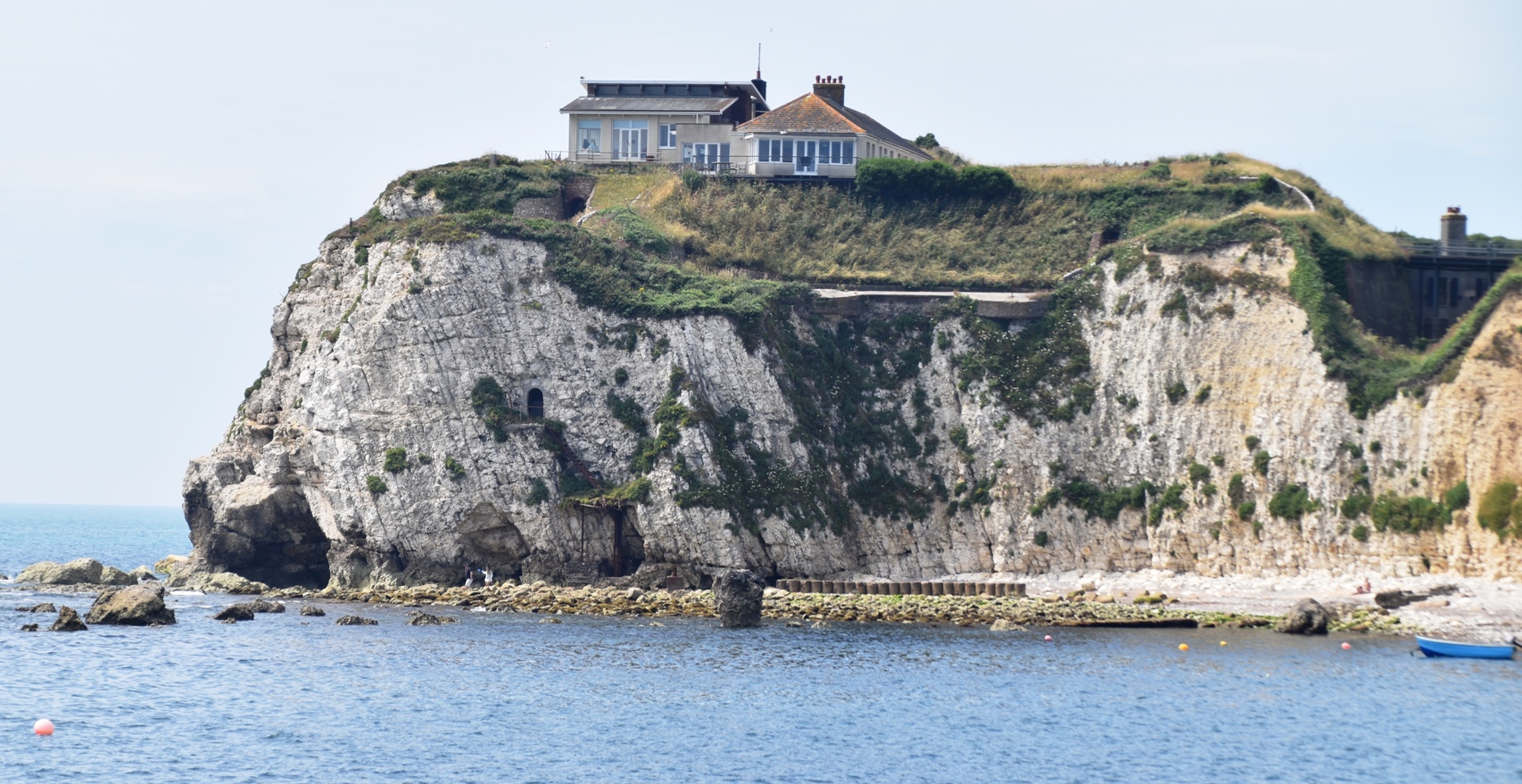
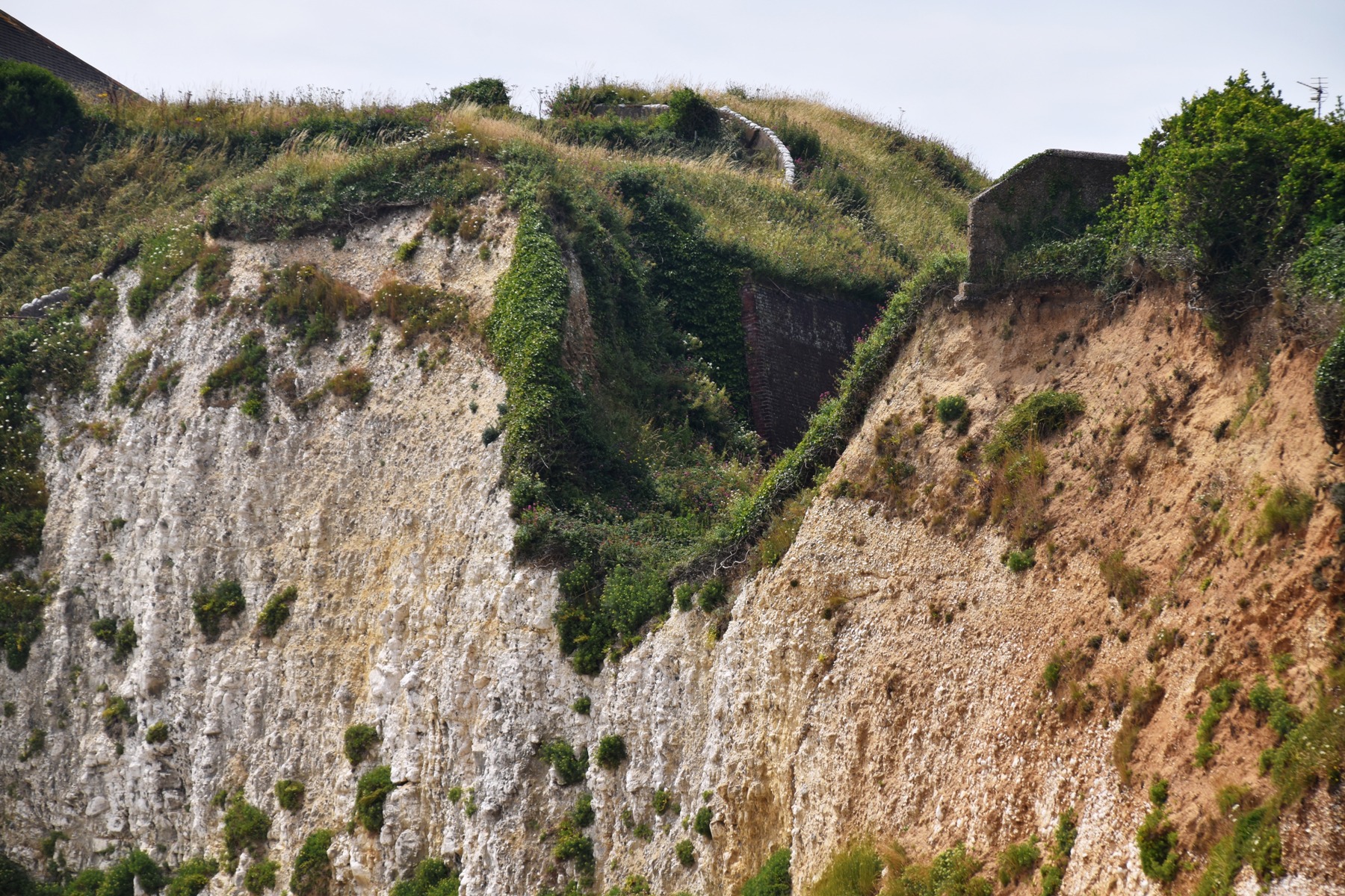
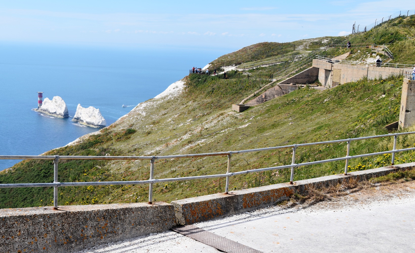
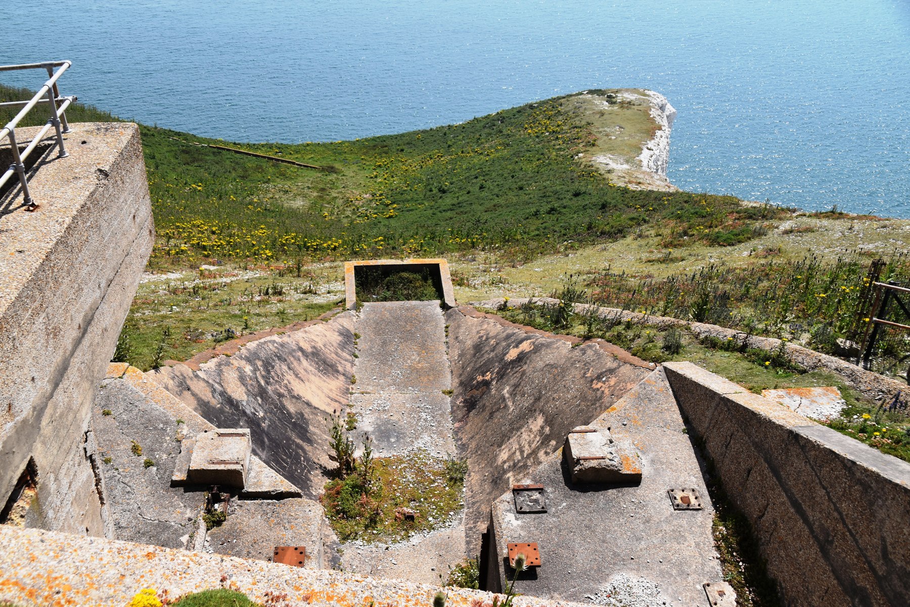
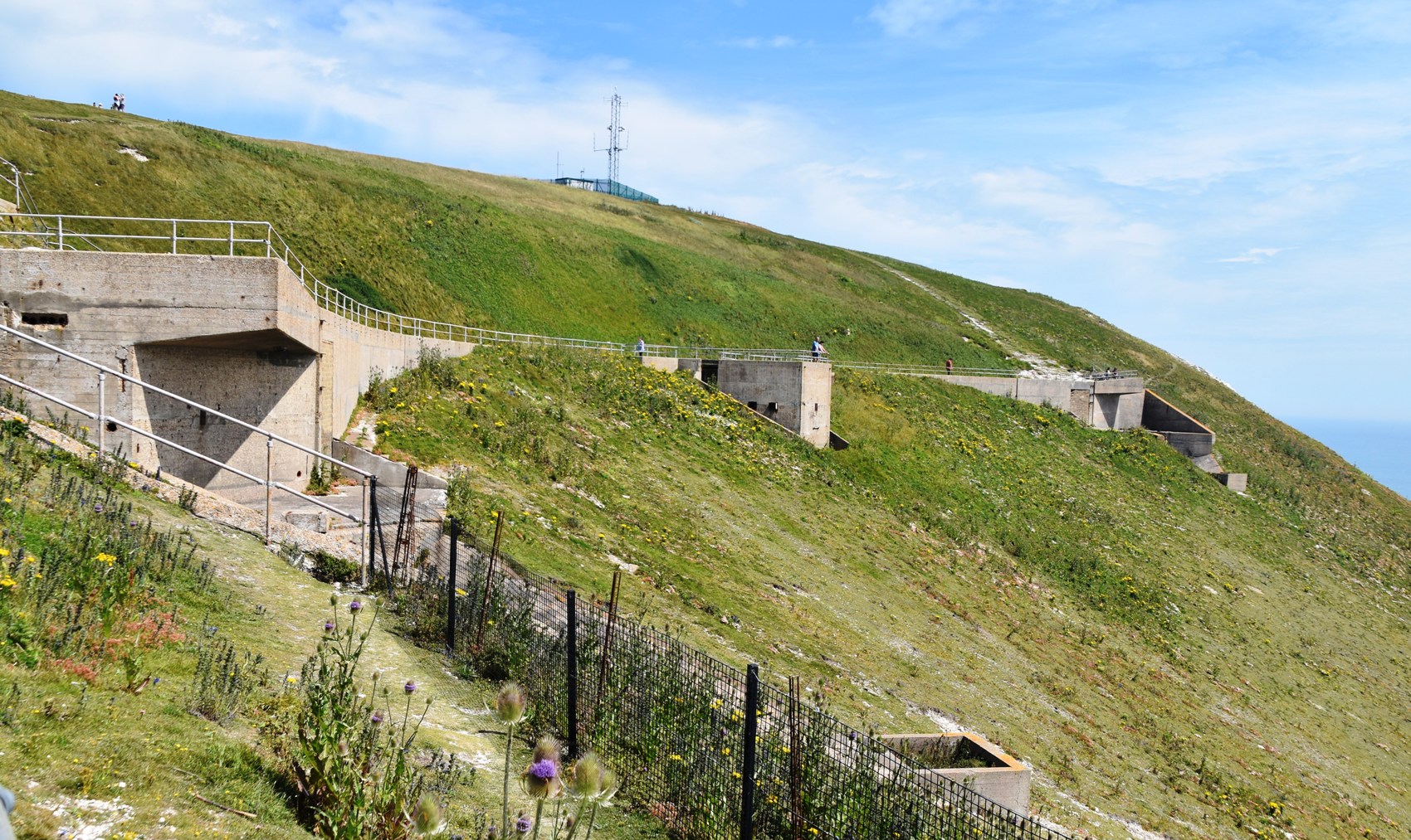
At the top of the hill are two batteries – the Old and the New. The New Battery was of most interest to us, as it was the site of static fire testing of the British rockets that were later taken to Woomera for launching, in the 1950s. These are the two bunker-like concrete structures set into the hillside. From here we had a good vantage point over The Needles.

The steep climb between the two batteries had my calves and my lungs protesting – we still had an orienteering event to do! The bus delivered us back to Yarmouth, in nice time for the return ferry. The water was serene. Back on the mainland, we had enough time to detour through some of the New Forest. In Brocklehurst we had another traffic jam, this one caused by – I kid you not – a solo donkey, wandering freely down the main street of the village. Continuing on, we took the beautiful Rhinefield Ornamental Drive, full of magnificent tall conifer trees. We wish we’d stopped for a better look. But it was onwards to Totton, and our meetup with the members of the Southampton Orienteering Club.
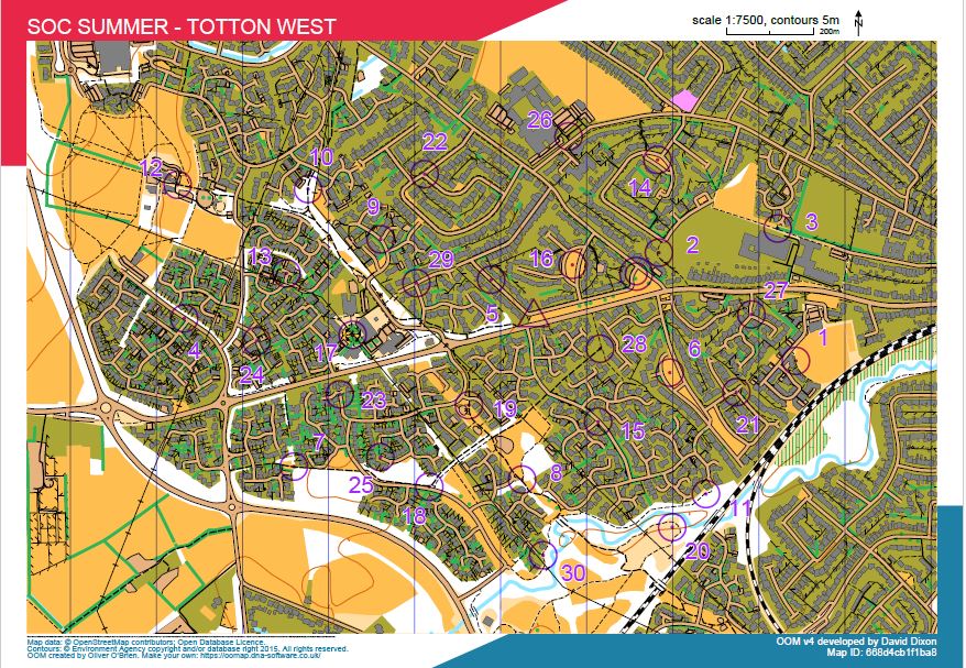
The course planner, Tim, met us with two pre-printed colour maps. These were Open Orienteering maps, and not easy to read, even at 1:7500 scale. The area was much more complex than our regular streeto venues, and we could see Tim had set up some very tricky route choices for us. We had a mix of residential streets, parks and trails, and very small cut throughs. We duly entered our MapRun PINS, and we were good to go!
We both spent a lot of time standing still studying the map, trying (and not always succeeding) to avoid the dead ends. Ian got 20 controls out of 30, in 7km, and I managed 10 controls, in 3.6 km. I did my first running for weeks. It was a lot of fun, and a real workout for the brain – good practice for our sprint weekend in Vienna!
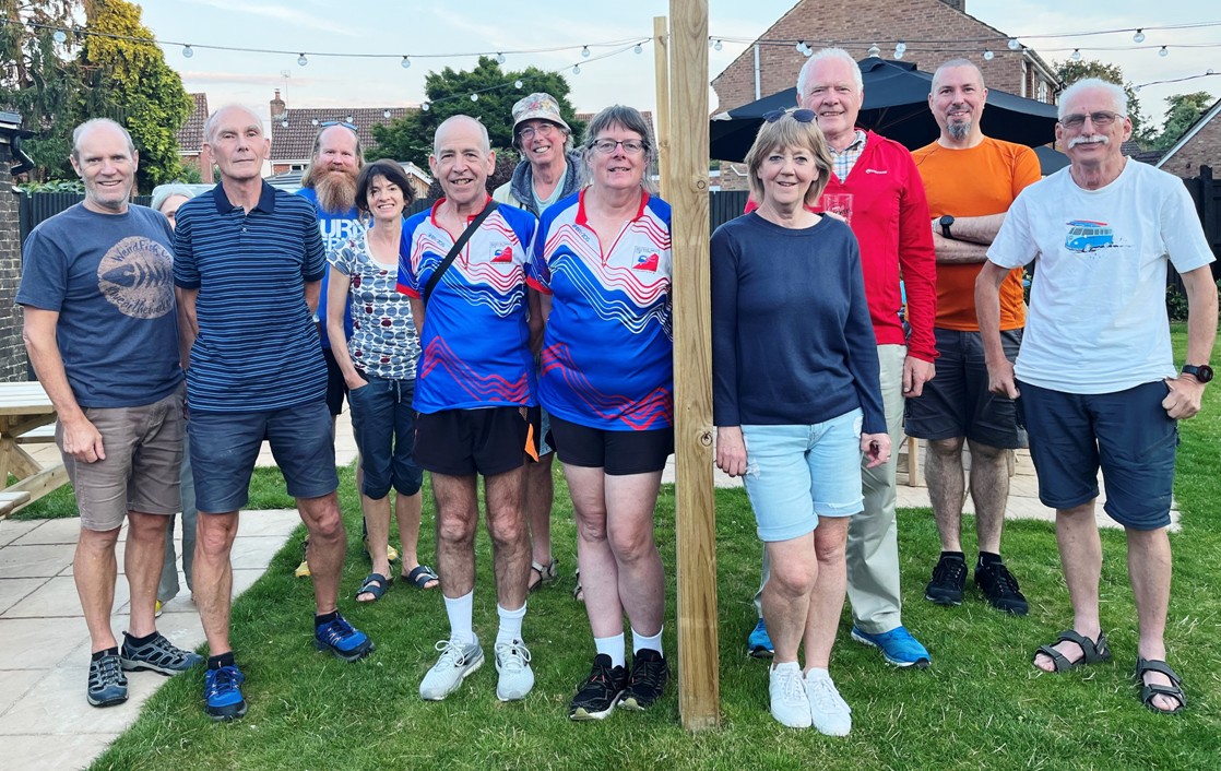
Afterwards we all met up at the local pub for drinks and dinner. We had a good chat with the other club members, comparing notes on our route choices, and on orienteering in general (for instance, we discovered they have just switched from E-mit to Sportident). It was a very congenial evening all round, finishing with a group photo. It was great to be orienteering again – our last event for 6 weeks or so.
We were a weary pair by the time we fell out of the car at 10pm.