The course planner (me) came up with a clockwise route which would take in the Baixa and Alfama neighbourhoods of Lisbon. The terrain description (provided by Google Maps) was “mostly flat”. Not sure when or if they last visited here? The control descriptions came straight from the Condes building. As this is shared with a Hard Rock Café, we were expecting granite features.
- Start: Lisbon Cruise Terminal
- Control 1: Praca do Comercio. Description: (very large) Paved Area
- Control 2: Arco da Rua Augusta. Description: Canopy
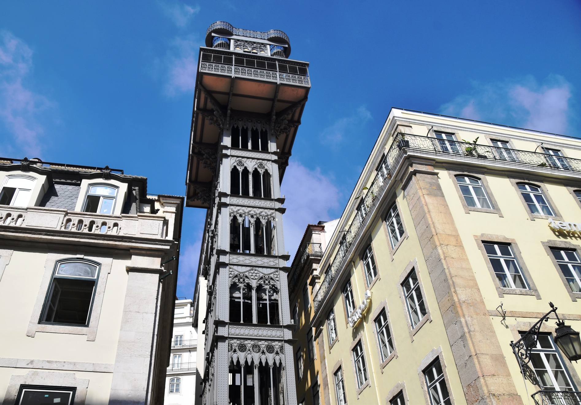
- Control 3: Santa Justa elevator (bottom). Description: Building
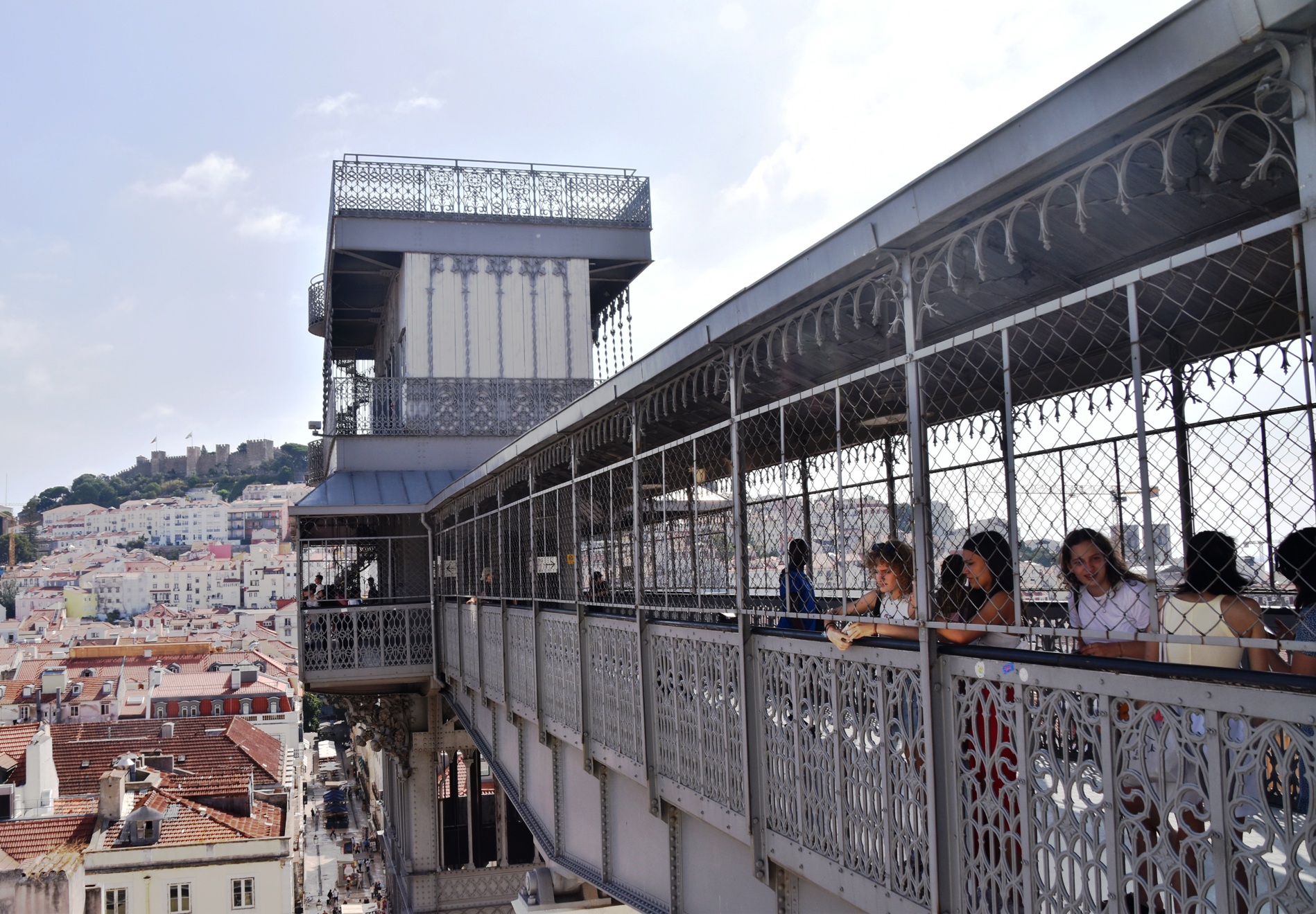
- Control 4: Santa Justa elevator (top). Description: Canopy
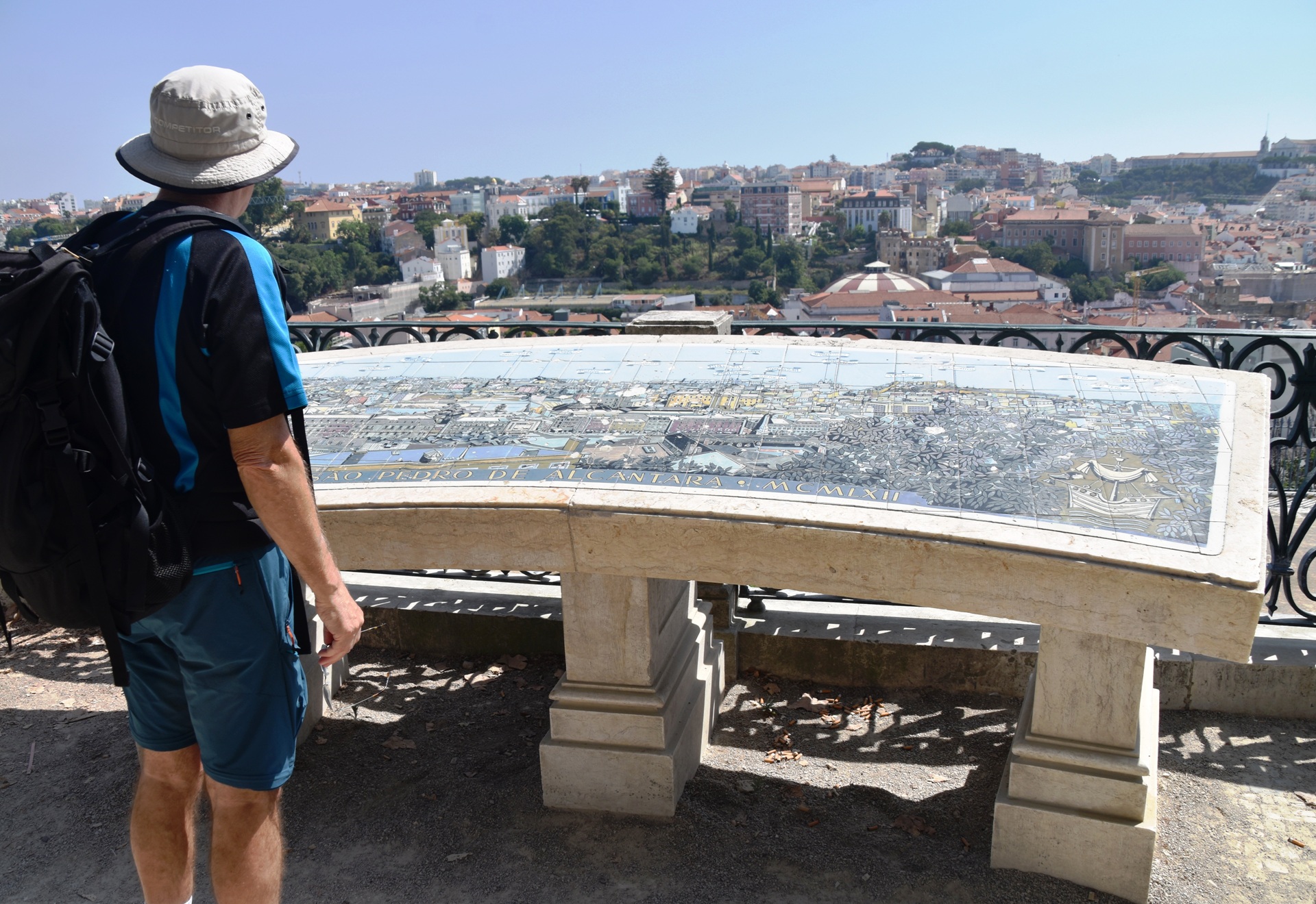
- Control 5: Miradoura de San Pedro Alcantara (lookout). Description: Cliff (top of)
- Control 6: Ascensor de Gloria funicular. Description: Stairs (top of)
- Control 7: Praca Restauradores. Description: Shallow gully?
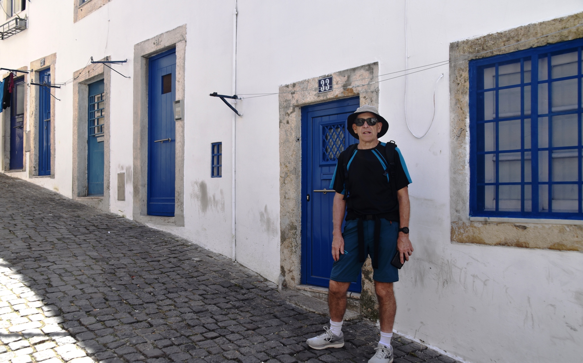
- Control 8: Blue Doors (Alfama). Description: Building
- Control 9: Miradouro dos Portas del Sol. Description: Cliff (top of)
- Control 10: Alfama. Description: Stairs (bottom of)
- Finish: Lisbon Cruise Terminal
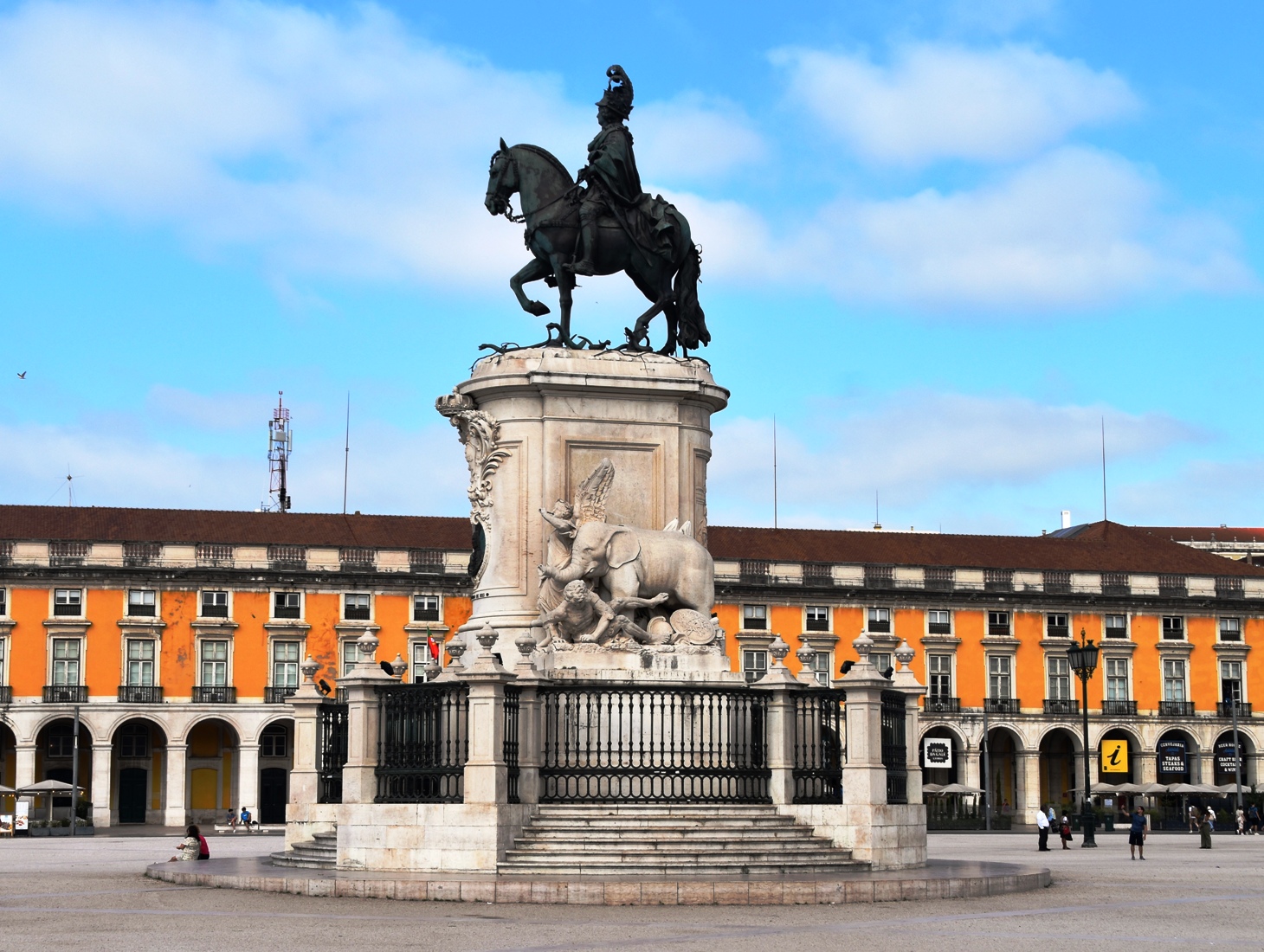

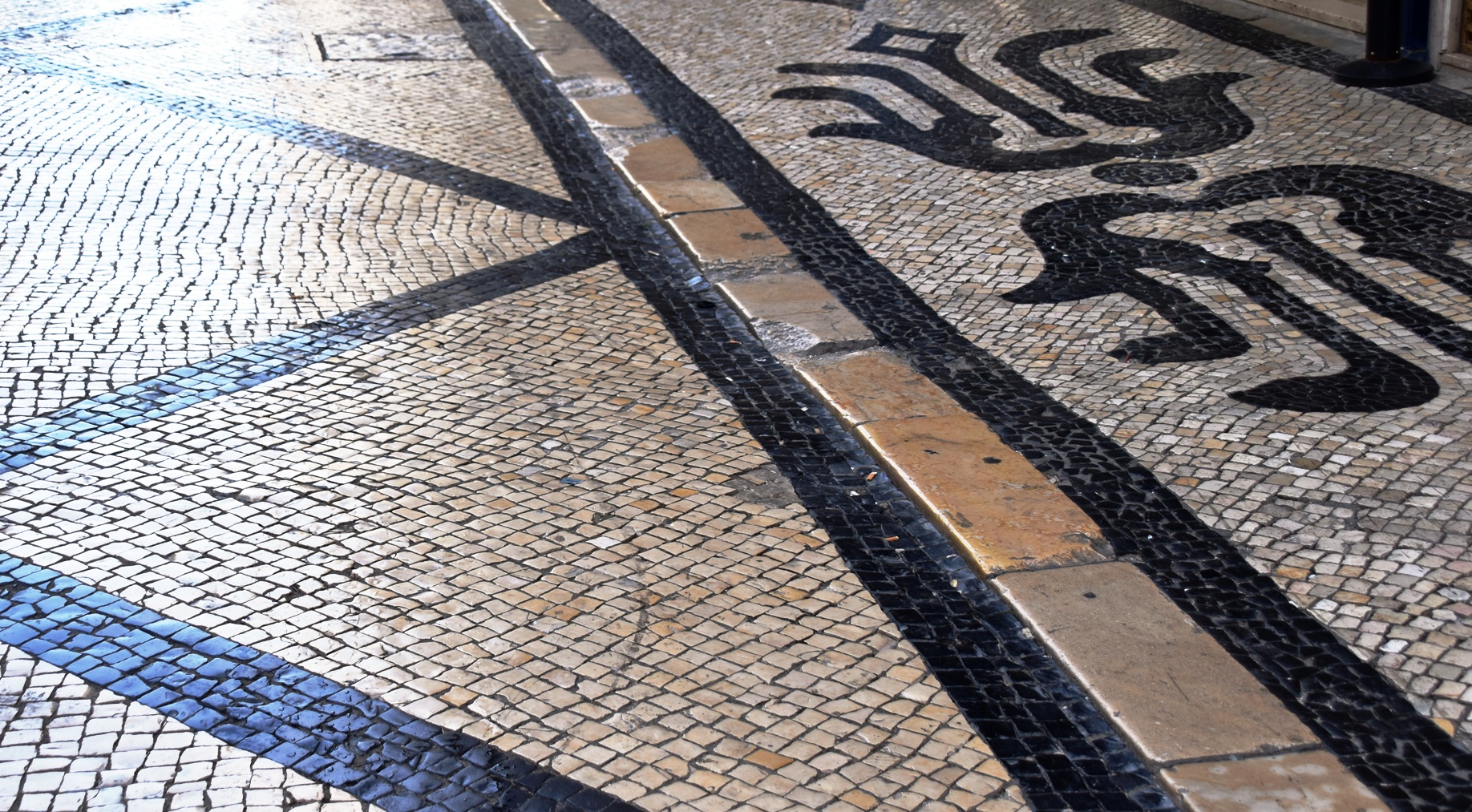
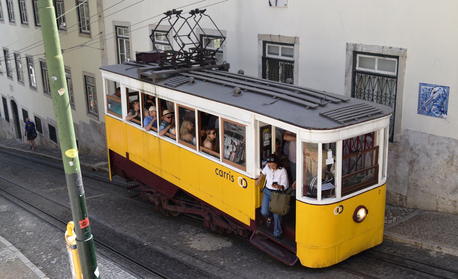
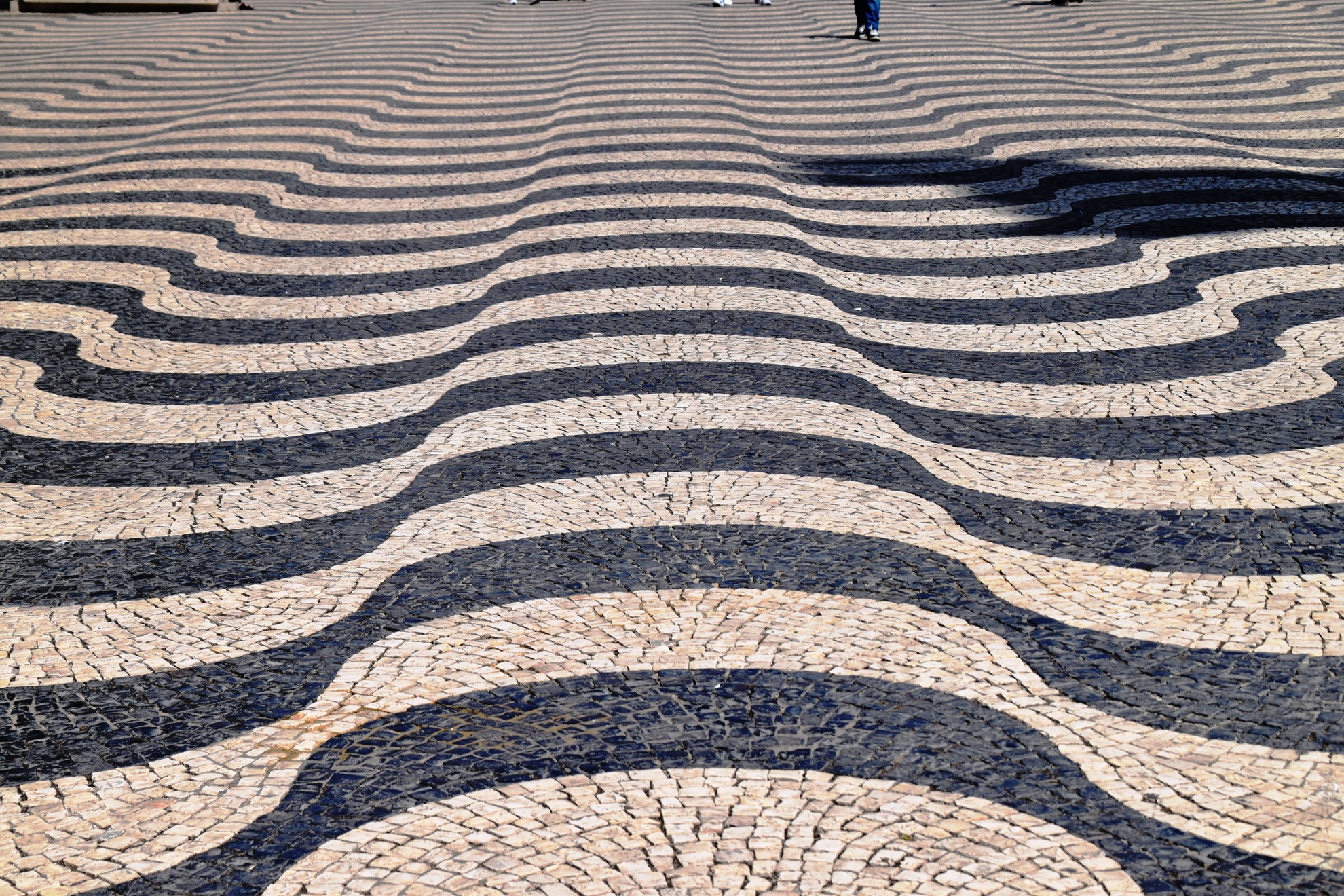


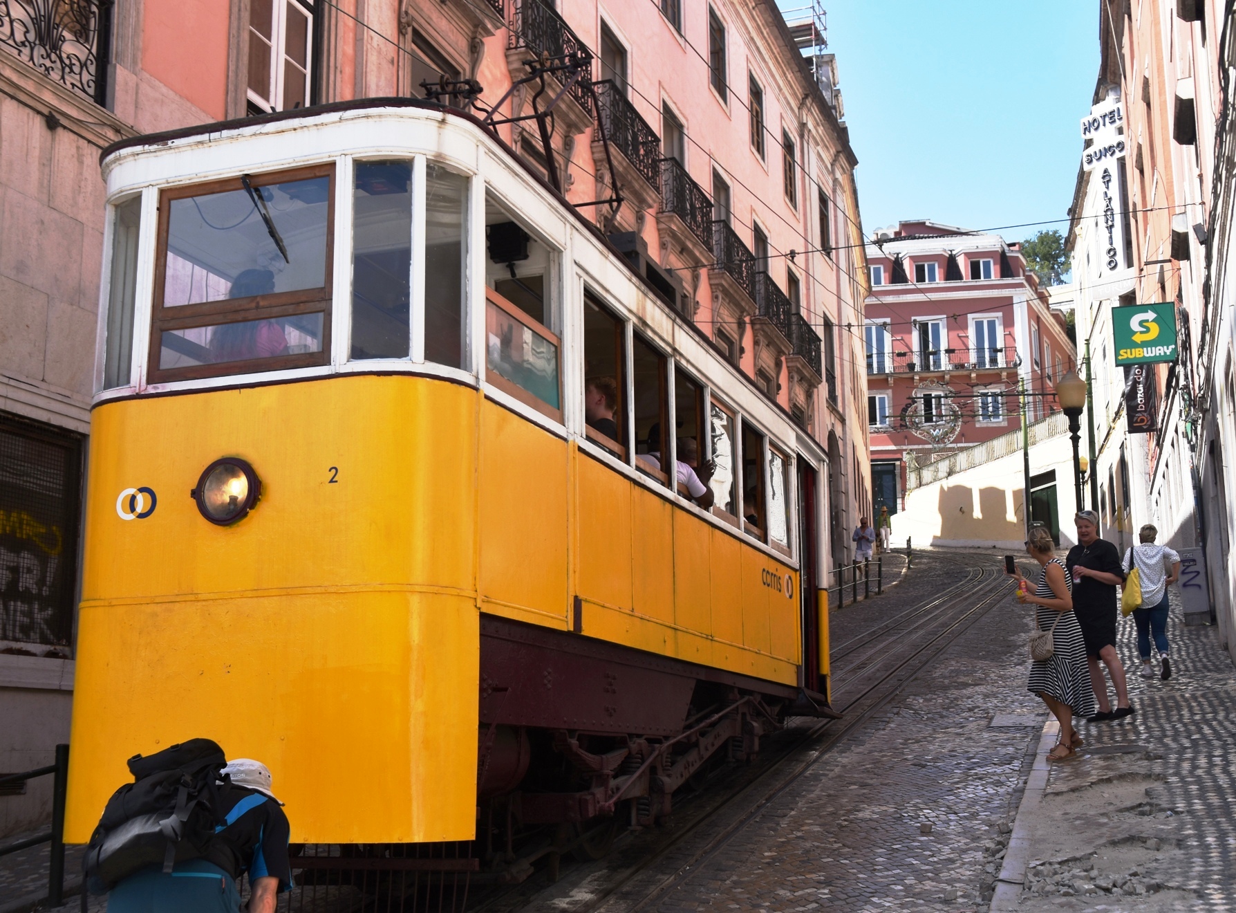
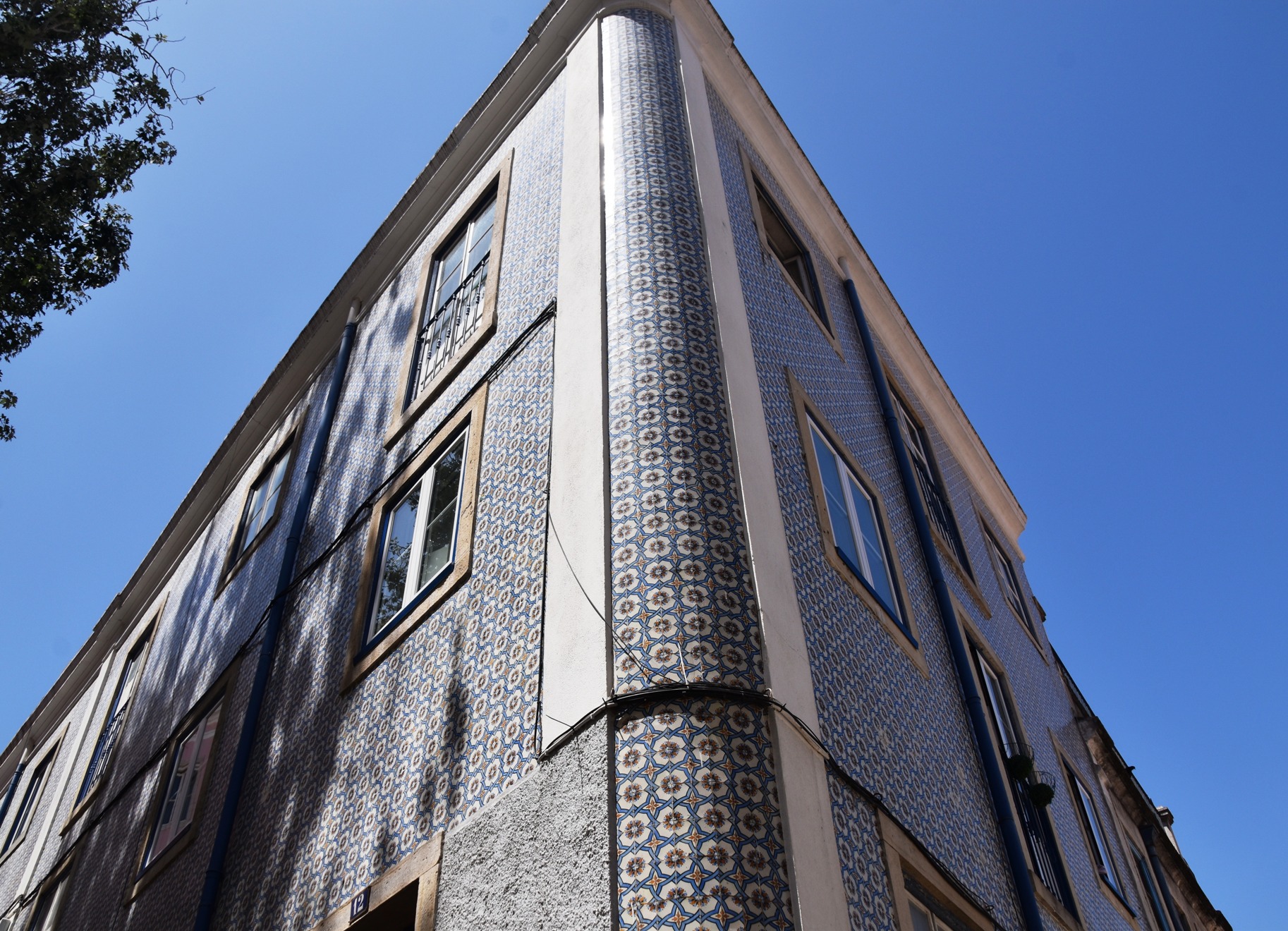
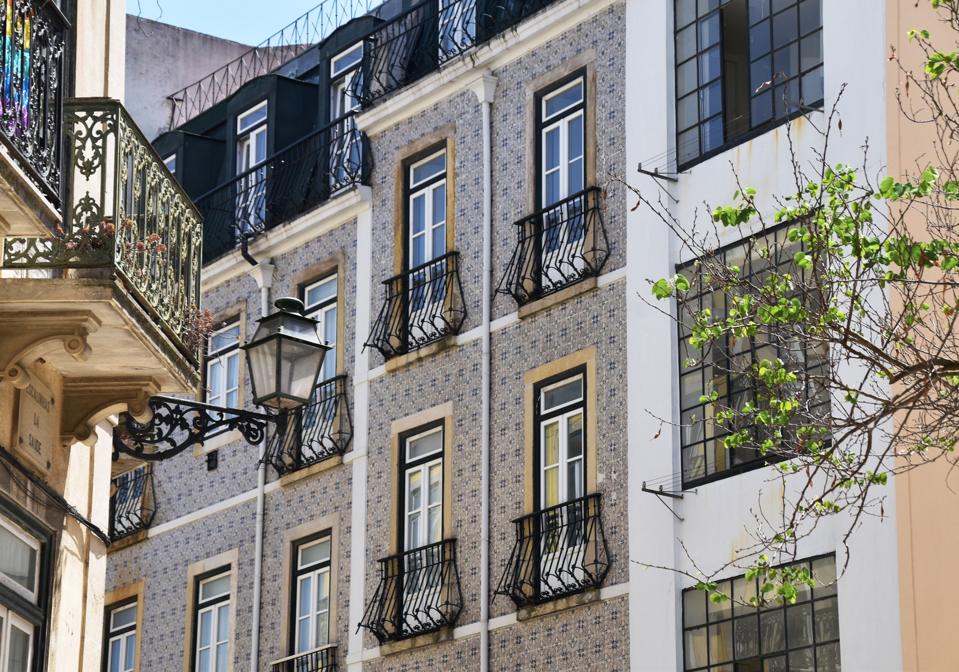
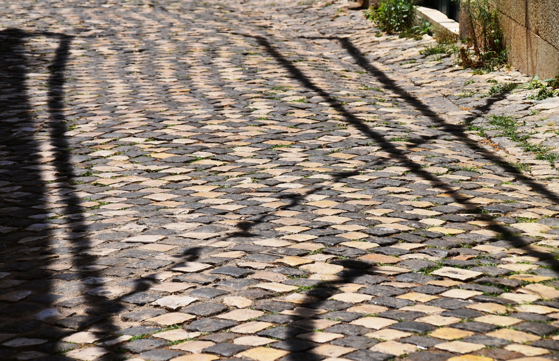
We headed east, choosing to take the waterfront route – not as direct, but less busy, with fewer road crossings. The vast main square was unmistakeable, serving as a grand entrance to the city. On the northern edge was Lisbon’s triumphal arch, leading to the Rua Augusta. This pedestrianised street was chock full of shops, cafes, and people. It was here we discovered that Lisbon’s streets are paved with small oblong cobbles, set on a diagonal, interspersed with darker stones to create wavy patterns. These streets are uneven and can be slippery. There are narrow sidewalks but often it is easier to stick to the road, if you are prepared to dodge the trams, taxis and tuk tuks. My vestibular system was already in overdrive, and I wondered if I would finish intact.
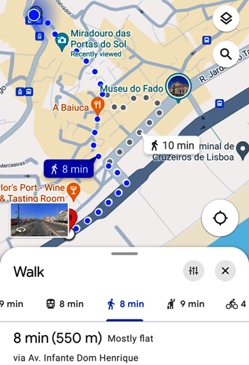
Soon we reached the bottom of the Santa Justa elevator. Here the route choice was to queue up for an indeterminate amount of time and take the direct route (straight up), or to take the longer route on foot. Google optimistically described this as Mostly Flat. A short but decidedly not flat climb brought us to the Largo do Carmo, a shady square with benches. We opted to catch our breath before tackling the fine navigation required to find the top of the Santa Justa, which is tucked in behind a rooftop café.
More climbing was required to reach our first Miradour, or viewing point. En route we encountered some interesting intersections where vehicles were executing 3 point turns just to get around corners. We could see why the trams are so small. “Don’t worry” said Ian, as we gazed up at a set of stairs, the top of which seemed a long way off. “Google says it’s Mostly Flat”.
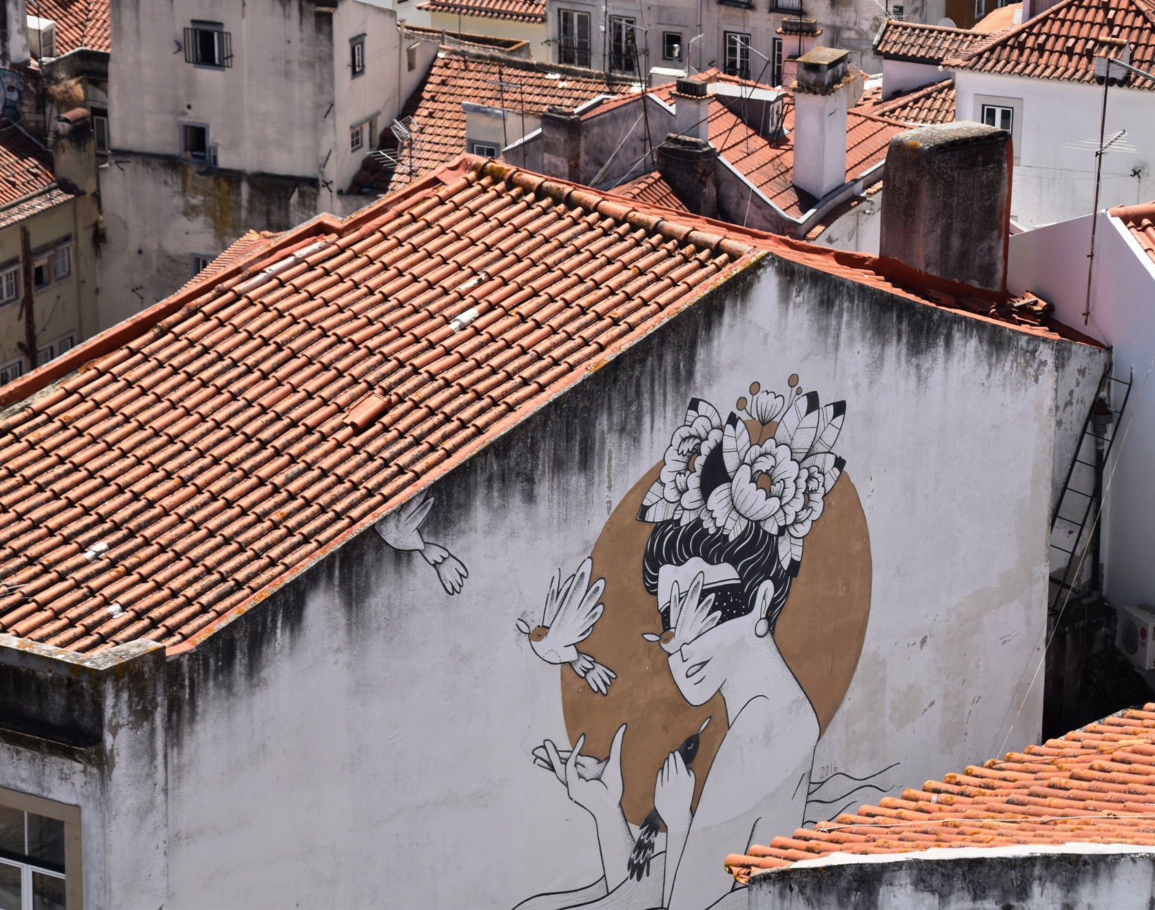
From the Miradour, we admired the views over red, tiled rooftops. We could see the valley below which separated us from the next hilltop. Opting to complete the next leg on foot rather than on the crowded funicular, we picked our way down a long, steep, uneven and slippery slope, watching the colourful yellow cable cars rattling up and down.
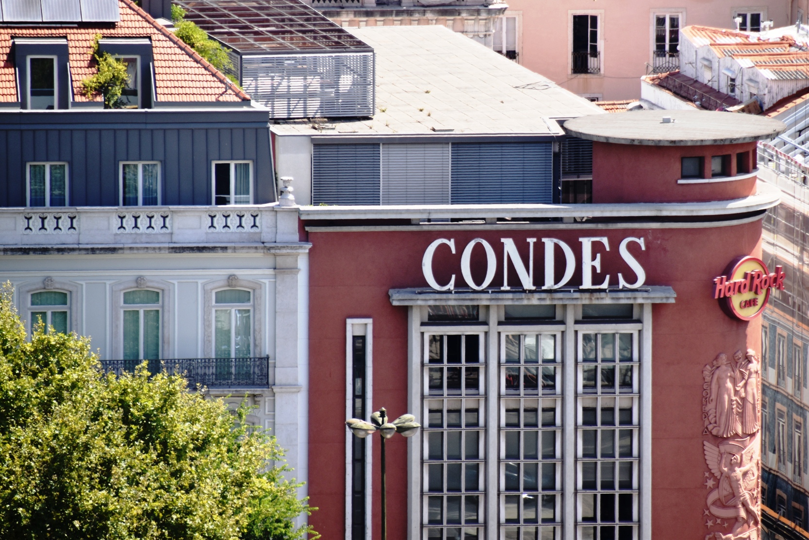
Finally, Google was correct – the next leg was indeed Mostly Flat! We spotted the Condes building (for non-orienteers, Condes is the software program used to set courses and create the descriptions used to locate controls. Presumably in Portuguese it means something entirely different).
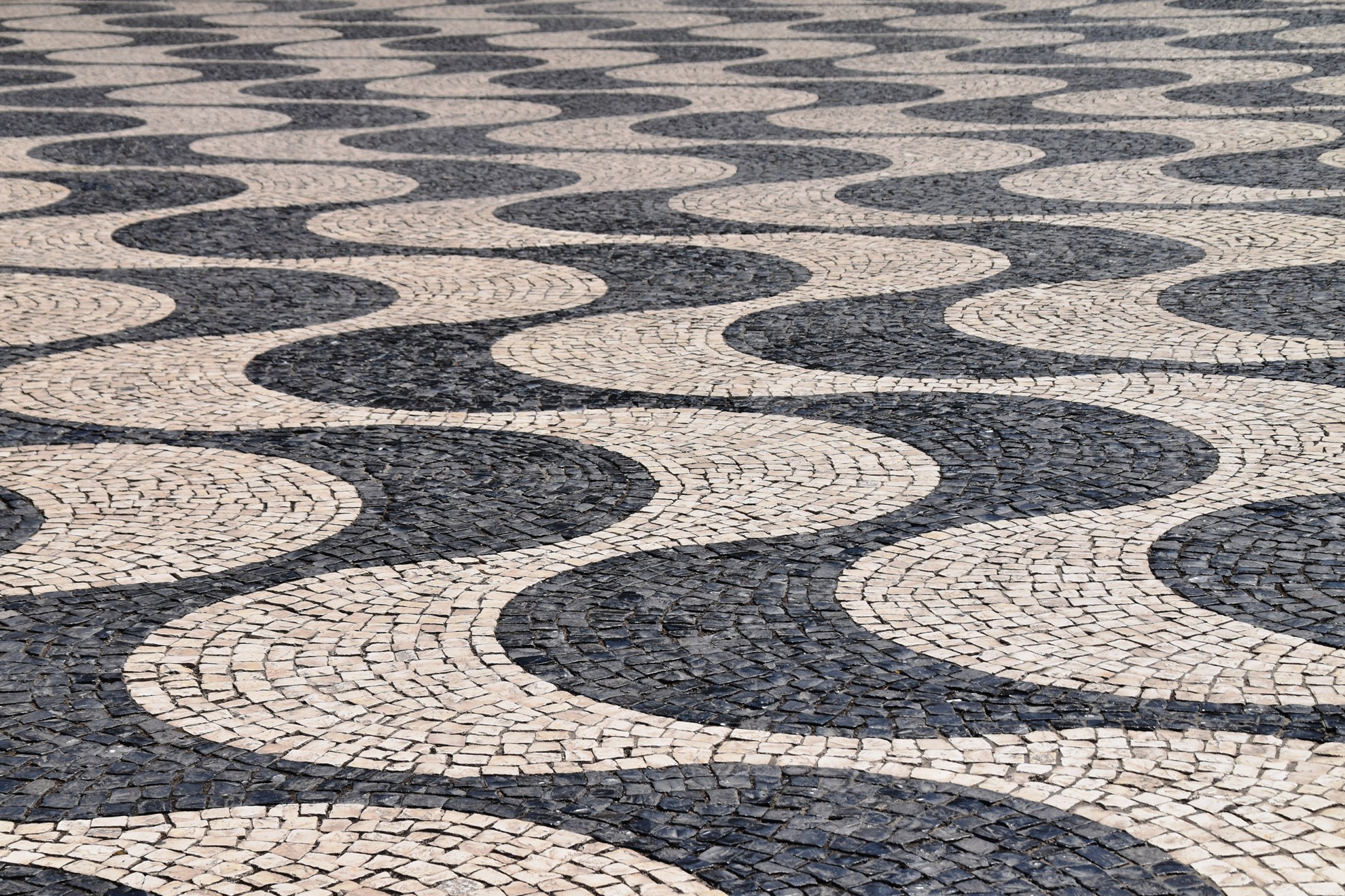
If my vestibular system wasn’t already overloaded, the bizarre wavy tiled patterns of the Praca were enough to send it over the edge. Even Ian said he felt a bit queasy. The pattern created a strange 3D optical illusion of parallel lines of low spurs and gullies, although in reality it was completely flat. Even more strange, if you stood on a “spur”, then turned 180 degrees, the illusion changed and you were now standing in a “gully”, without moving an inch. Very disconcerting.
Two controls left – once more we turned to Google. And once more it described the route as Mostly Flat. Given we were going to another lookout, this seemed unlikely …
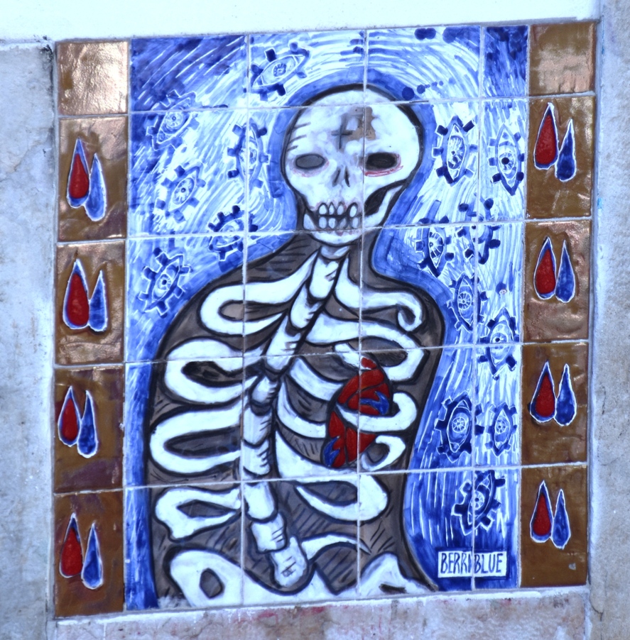
We now entered the most technical part of the course. We had left Baixa and were heading into Alfama, the oldest part of Lisbon. We followed a convoluted route up and down stairs, along tiny laneways, past small shops and tiled houses, and always on cobbles. Not even the trams could fit here. It was my favourite part of the route, especially as there was hardly anyone about; we’d finally shaken off the crowds. We stopped frequently to consult the map. Often the way ahead seemed improbable, but there was always a connection.
After climbing some more, we found ourselves at the top of an escalator, which, had we known, would have taken us directly up from the square now far below. Oh well … we pressed on, eventually emerging onto the main street, which just meant more people and more vehicles. We had to squeeze our way along the narrow footpaths. It was hot now so we were constantly looking for the shaded side of the road.
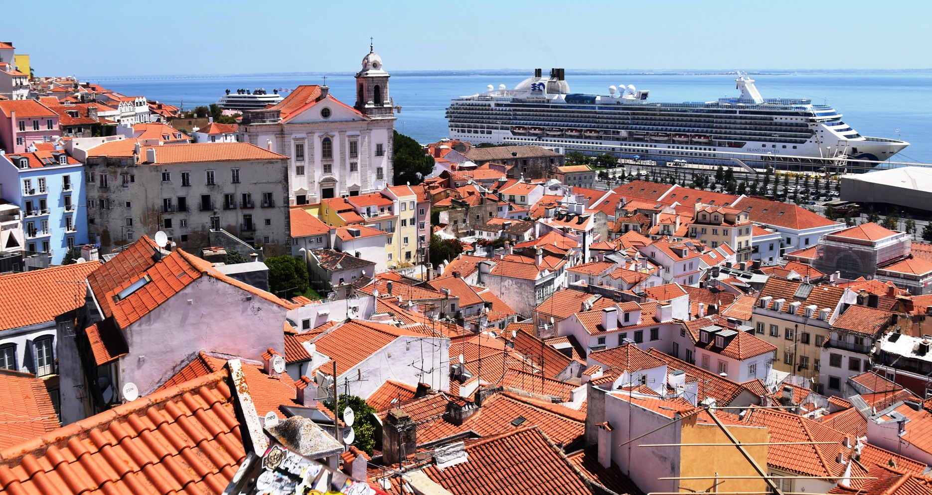
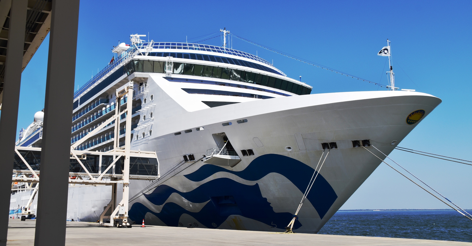
The second last control was at the splendidly-named Miradour dos Portas del Sol. From here we could see the river, along with our ship, a P&O ship which looked like our twin, and a very upmarket Ritz-Carlton “yacht”.
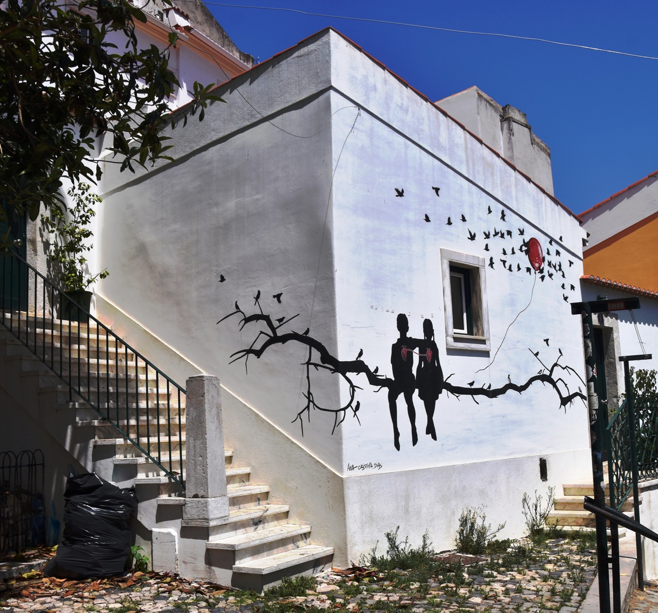
From here it was all downhill to the final control and the finish – Google insisted of course that it was Mostly Flat. We descended a series of steps through Alfama, seeing murals, more tiles, and little courtyards as we went. Finally emerging at the bottom of the hill, we spotted a helpful blue tiled map on a wall.
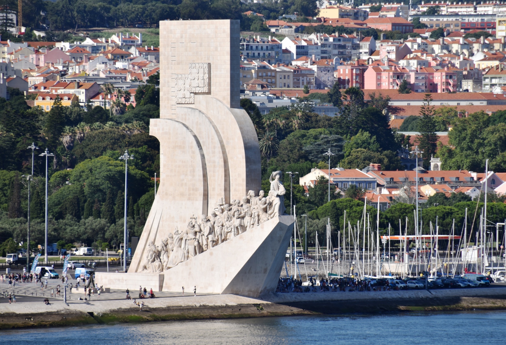
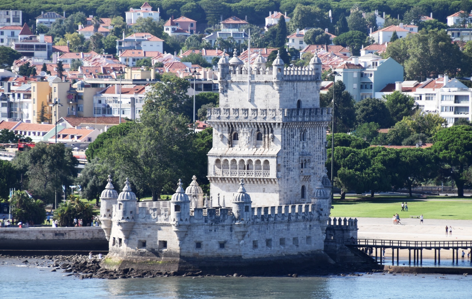
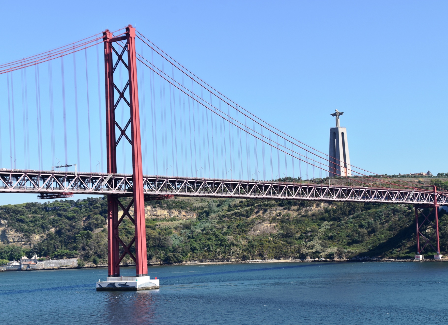
Now all we had to do was cross the road to the port, and we were at the Finish! A slow but successful completion of the course. Later we had a lovely sailaway down the Tagus River, with great views of Belem and its monuments to explorers.
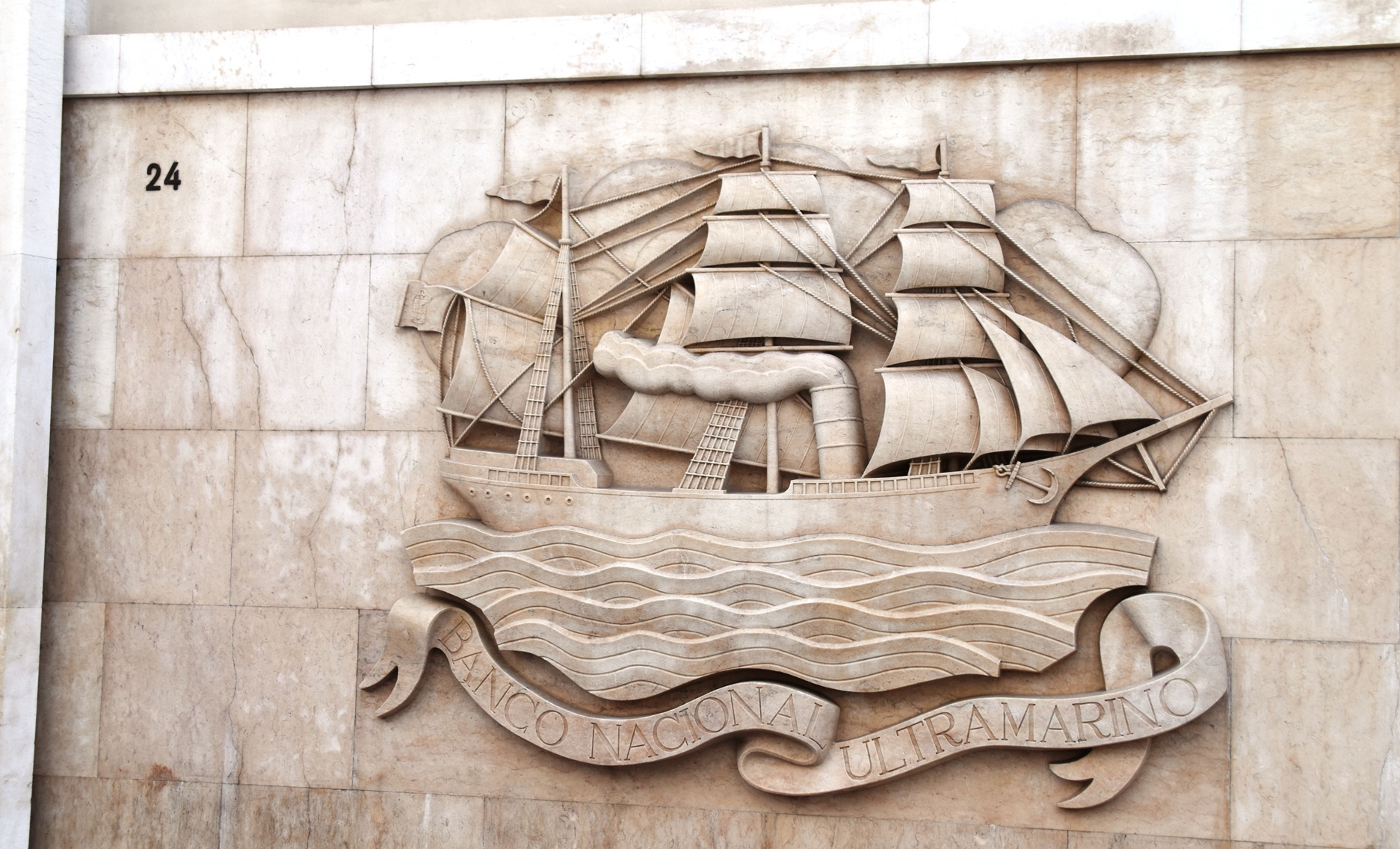
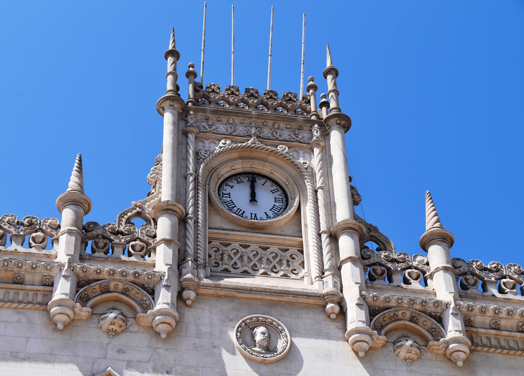
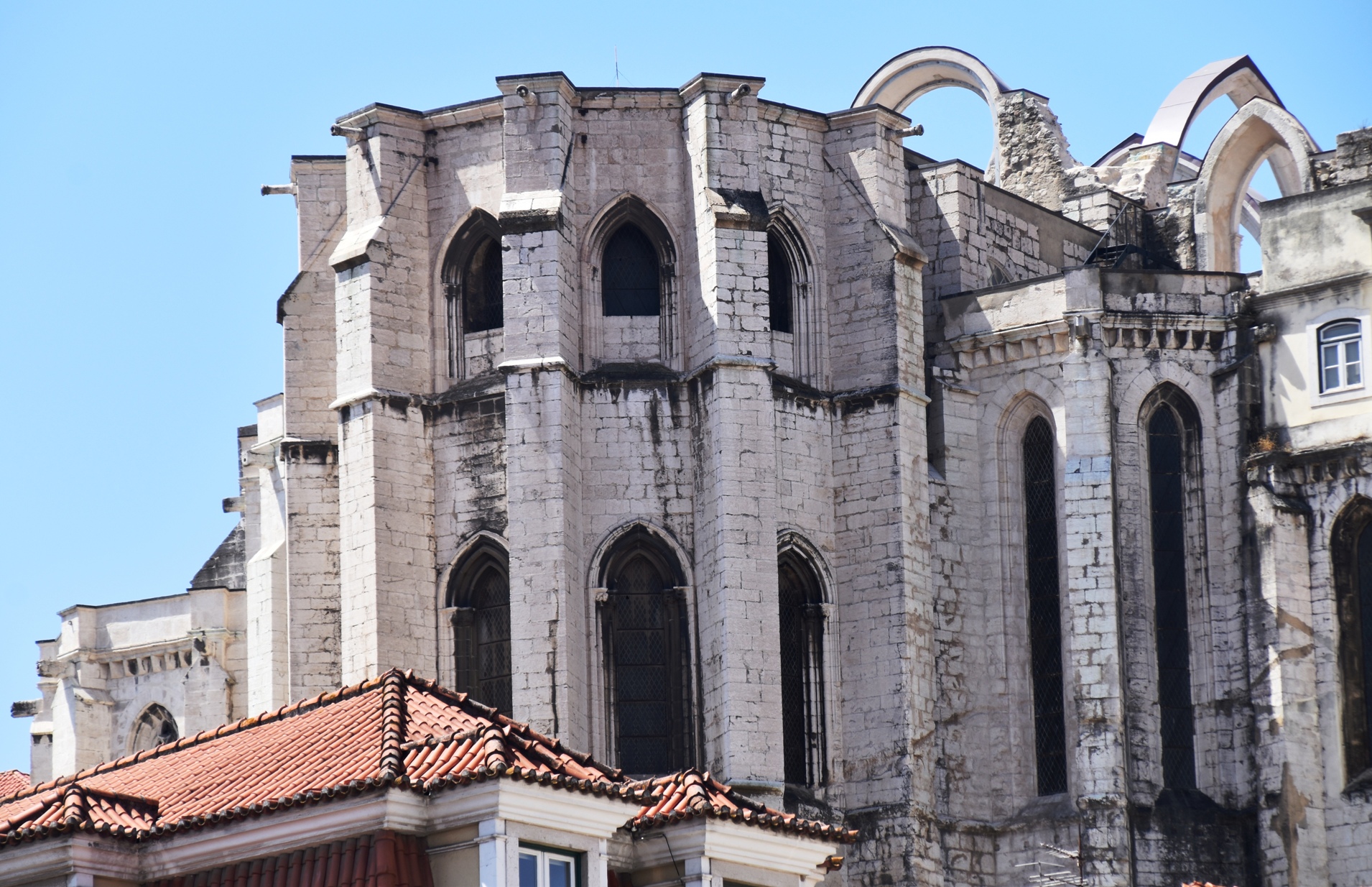
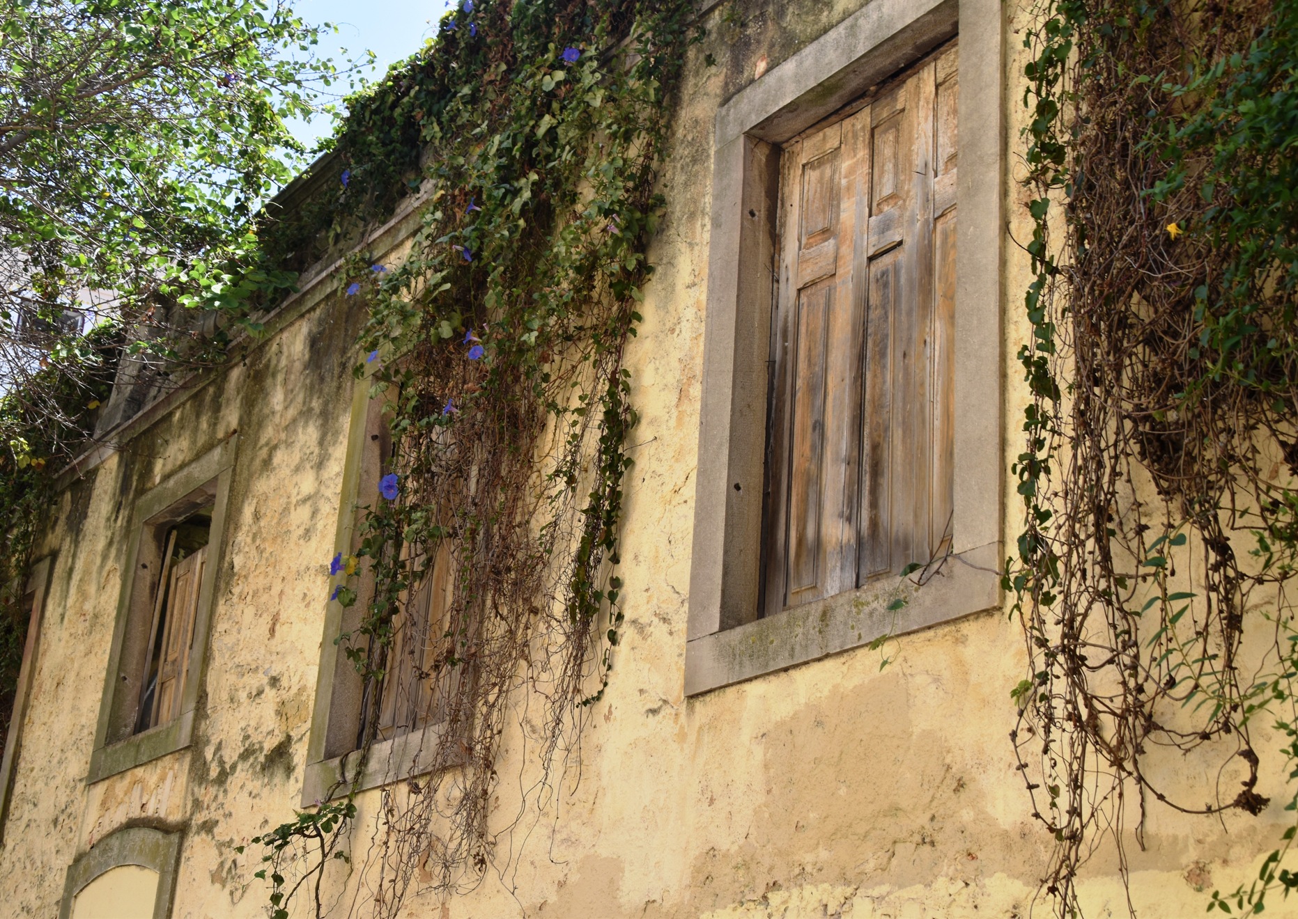
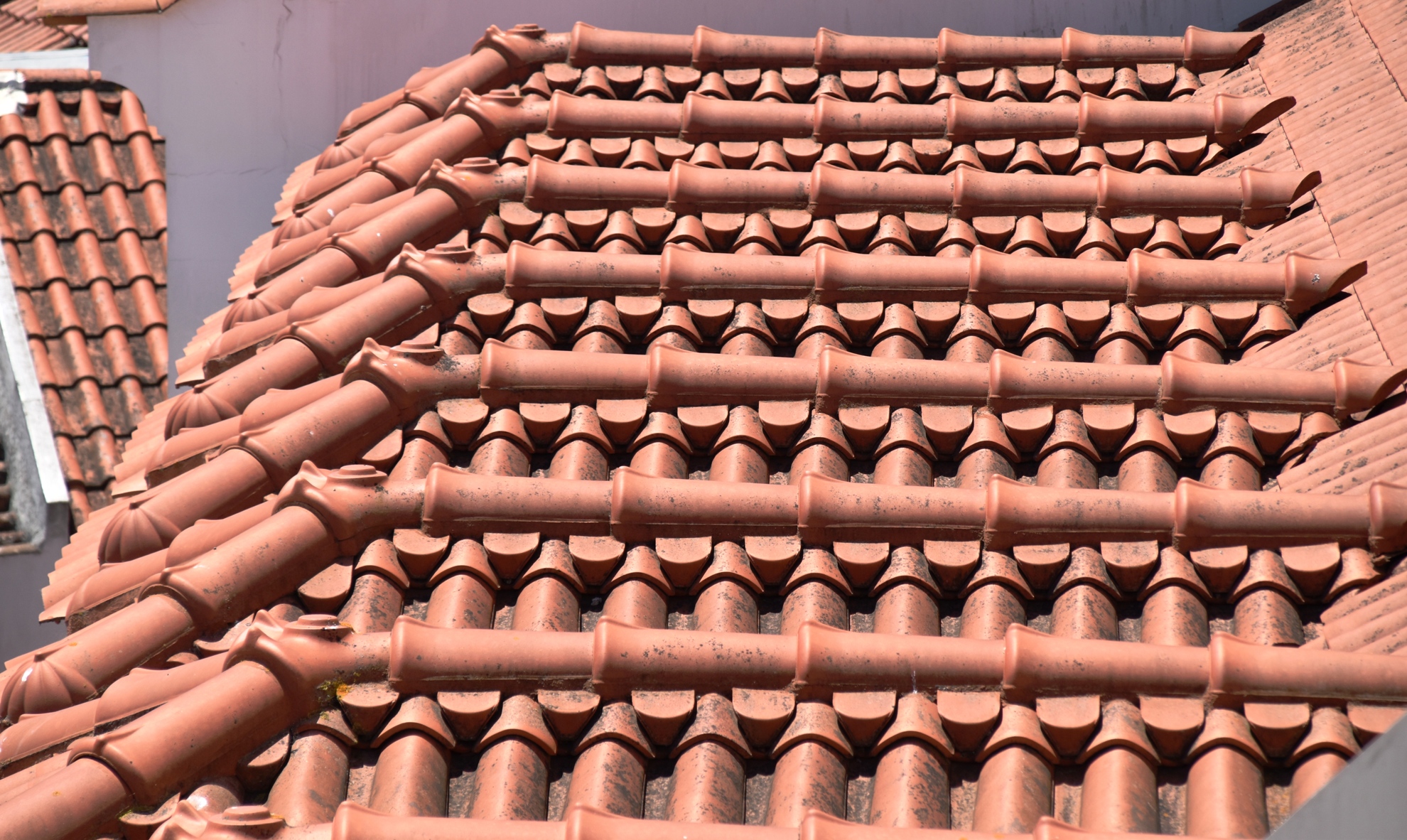
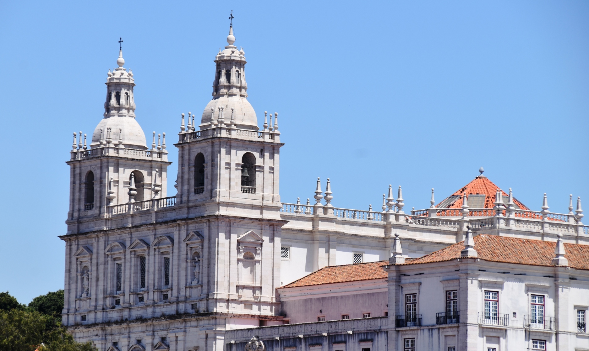
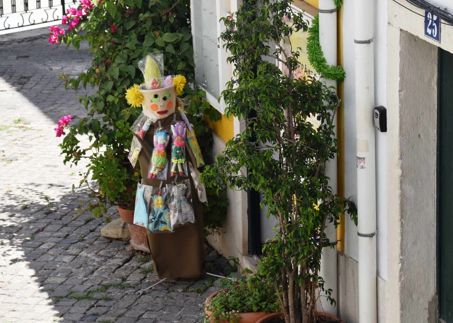
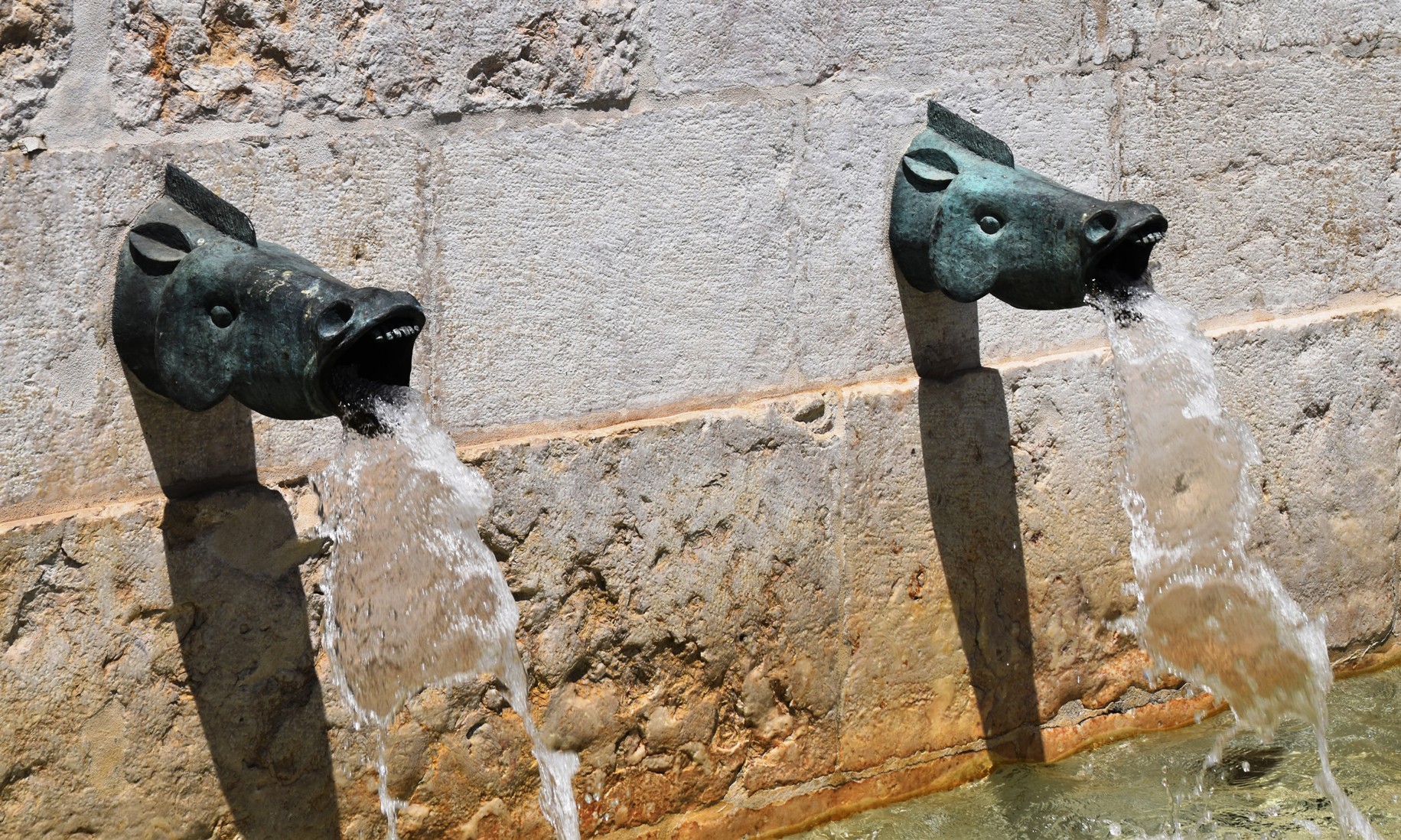
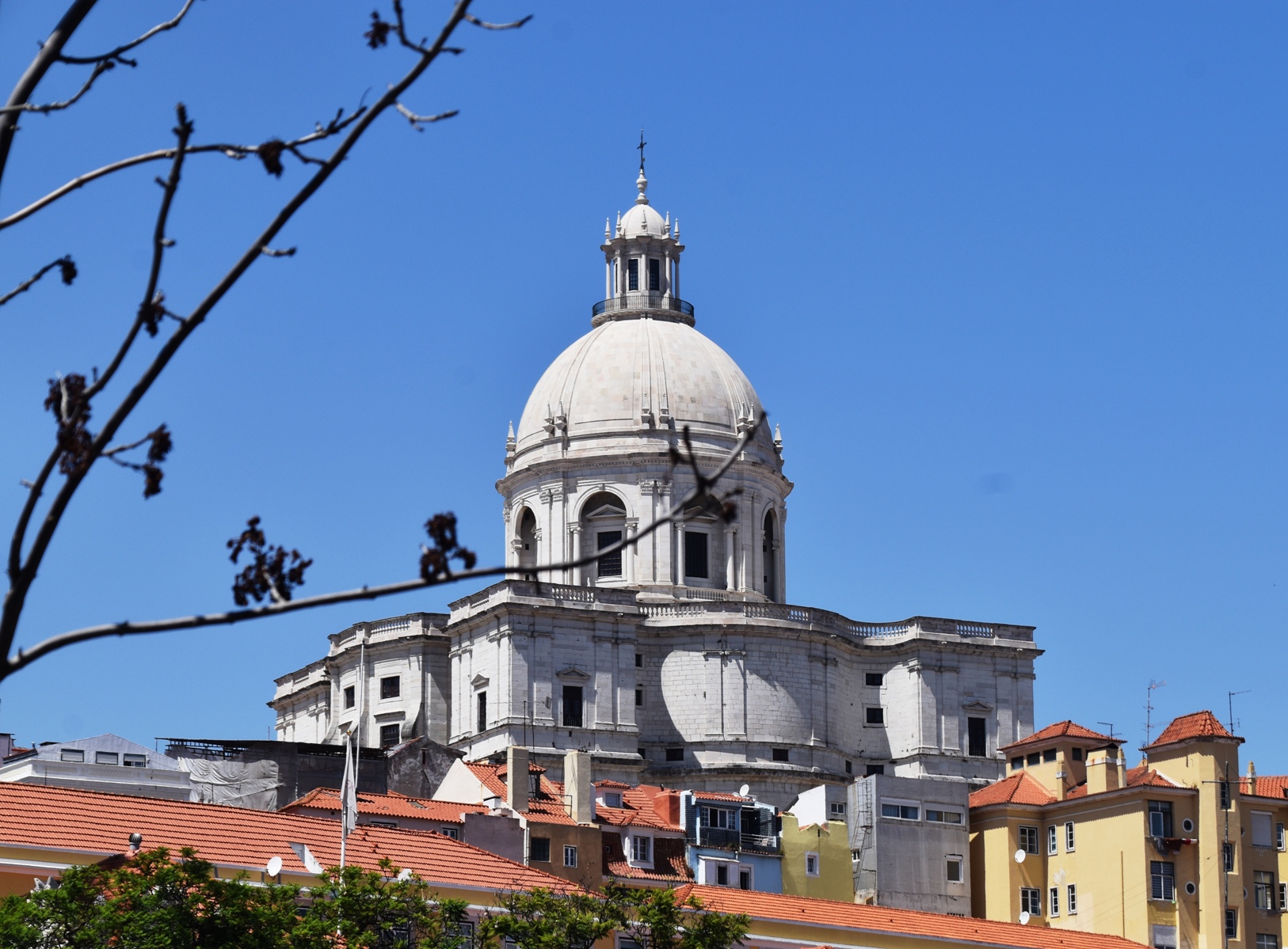
Here are some other photos of things we saw today: