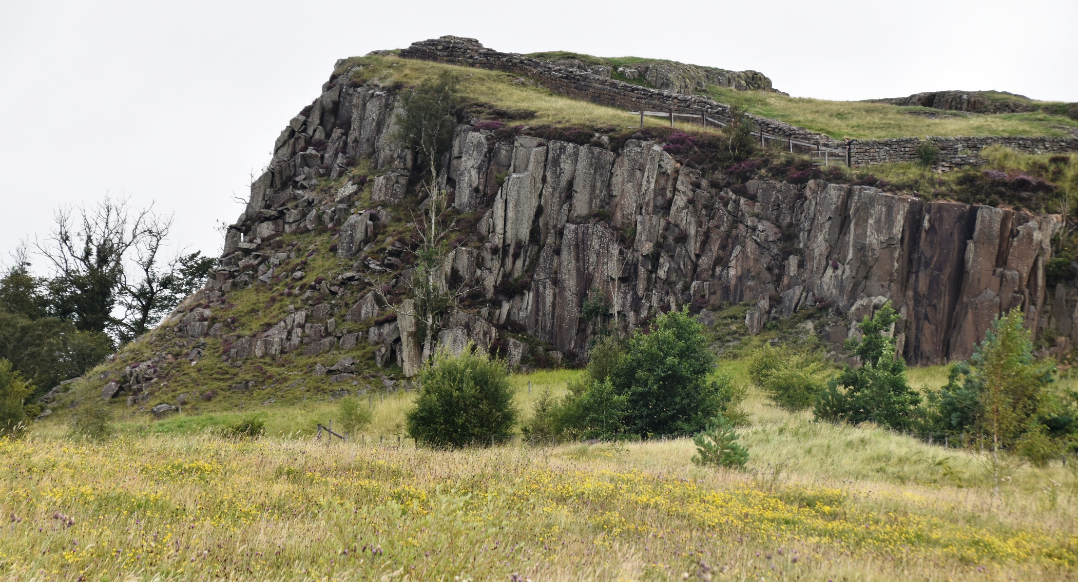
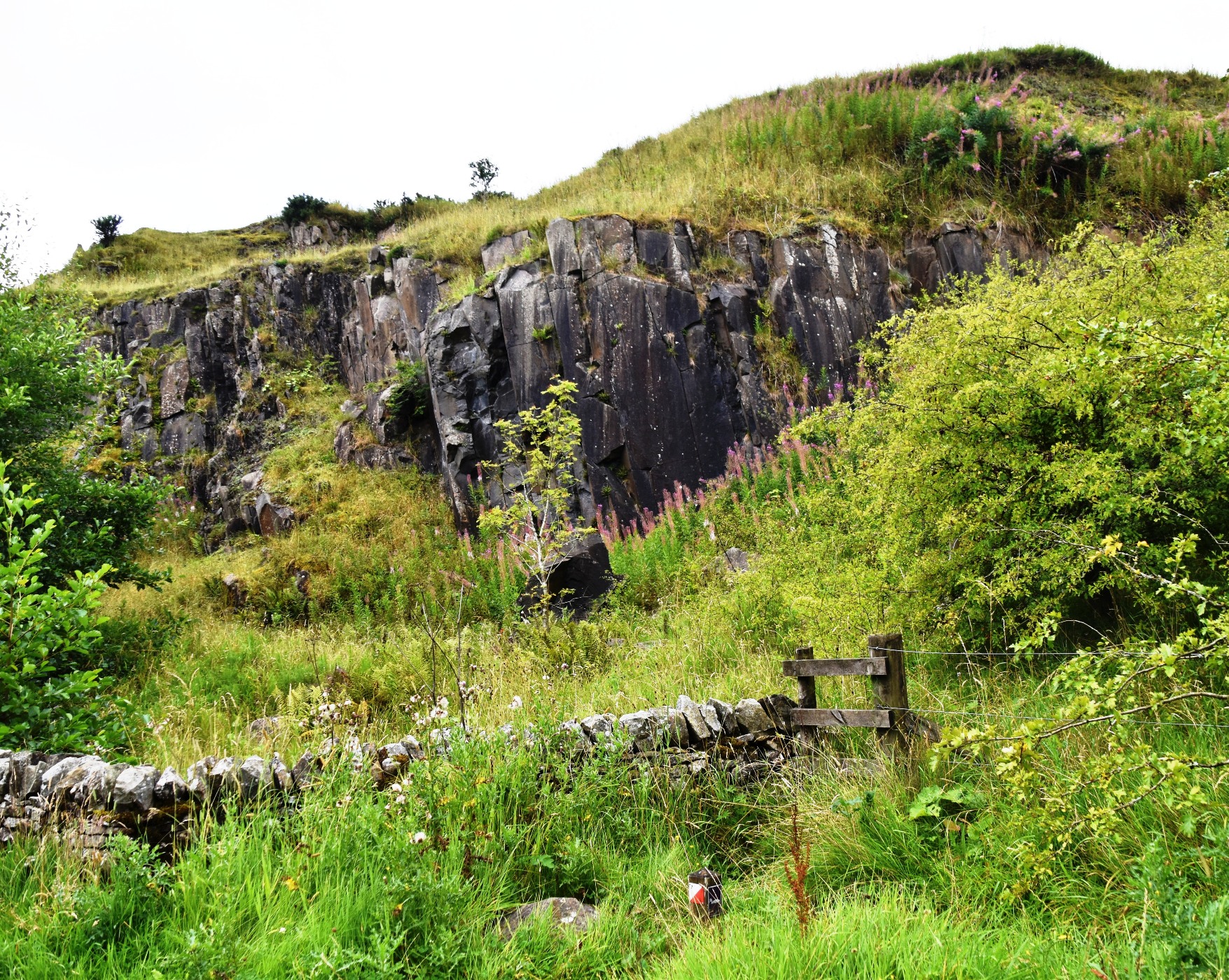
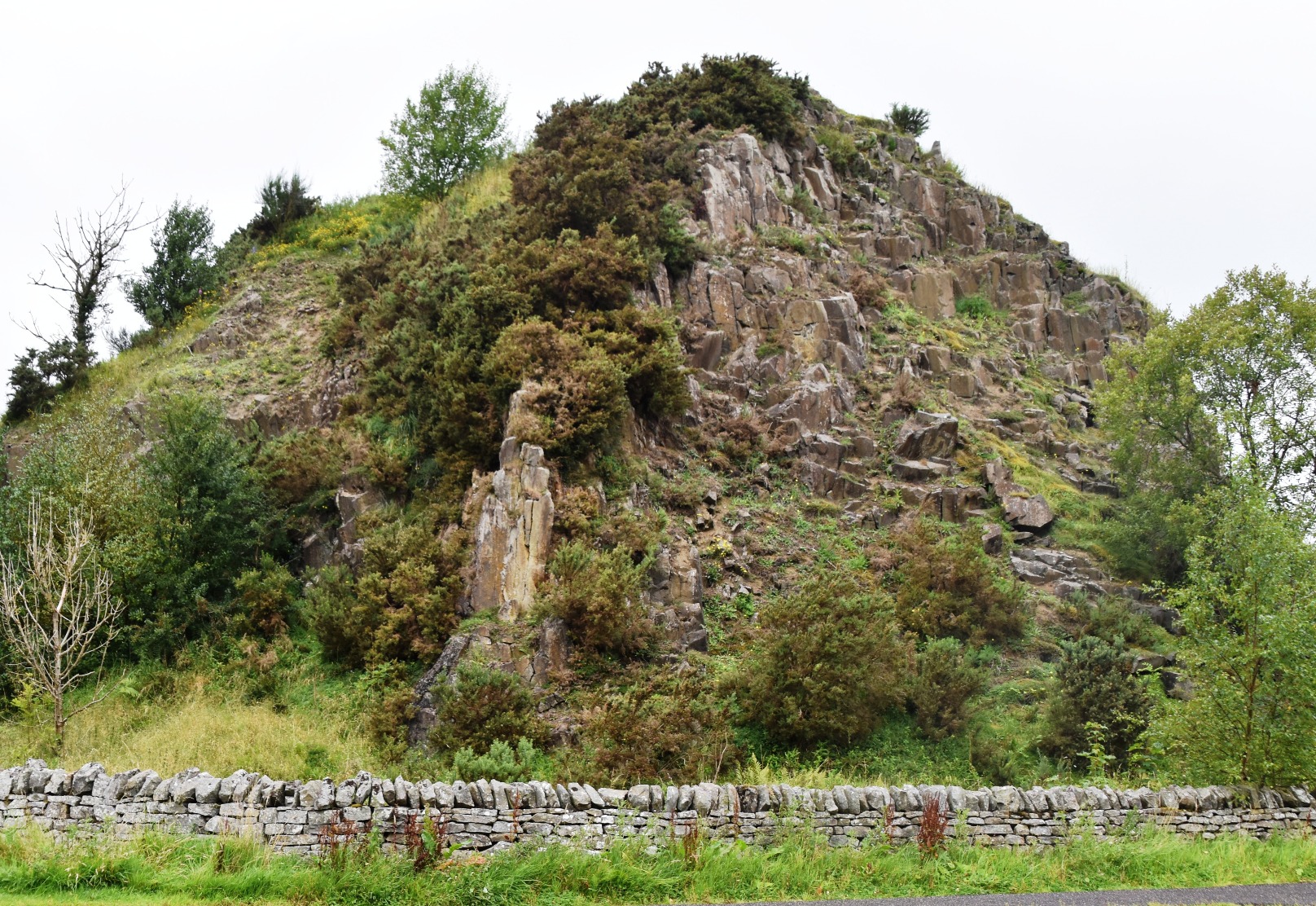
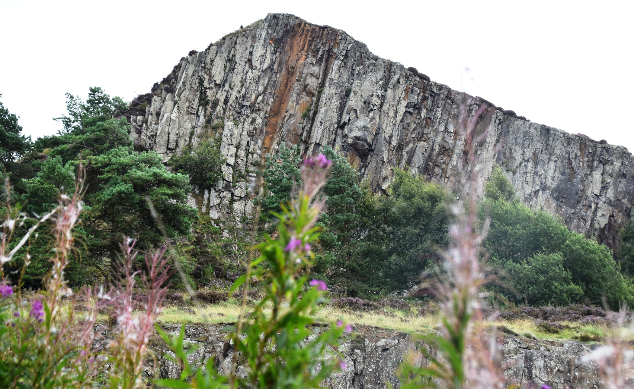
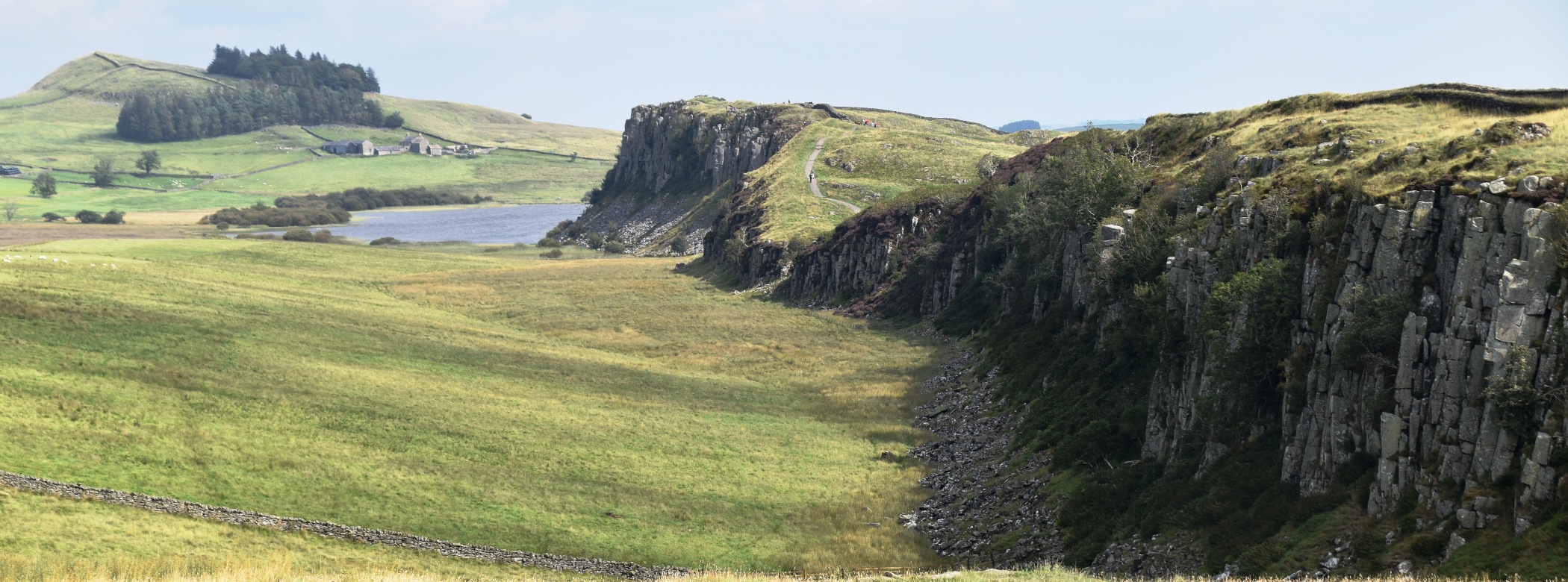
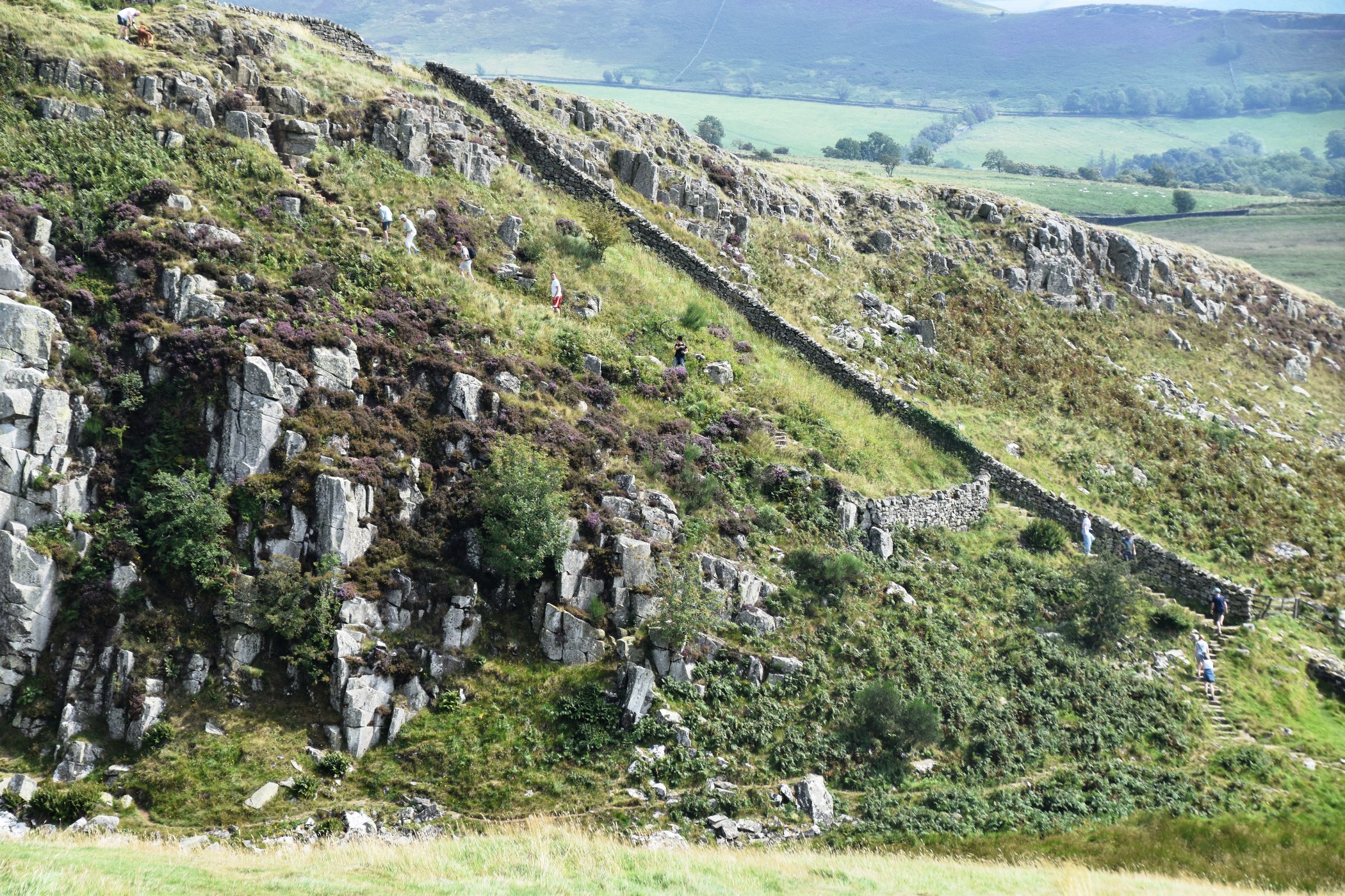
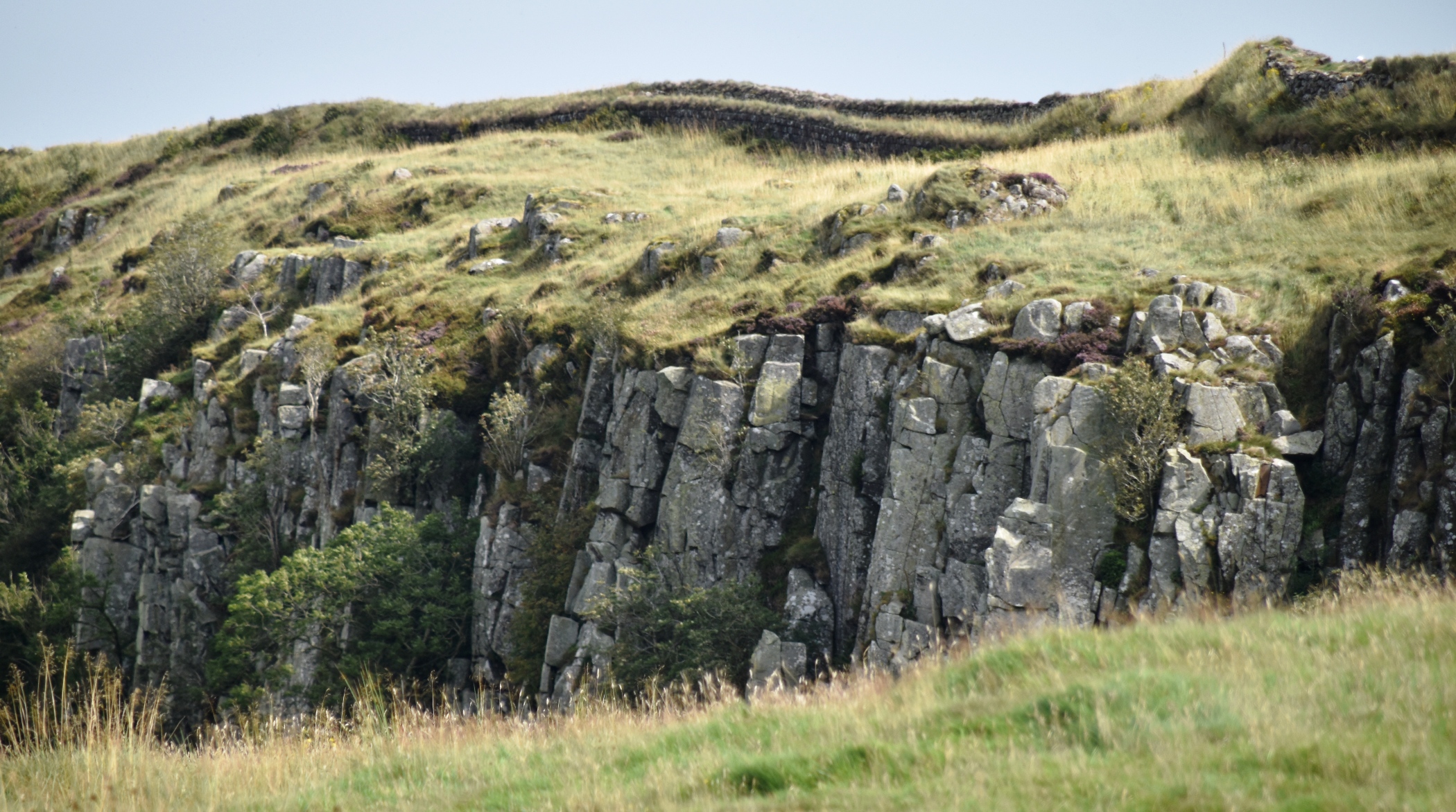
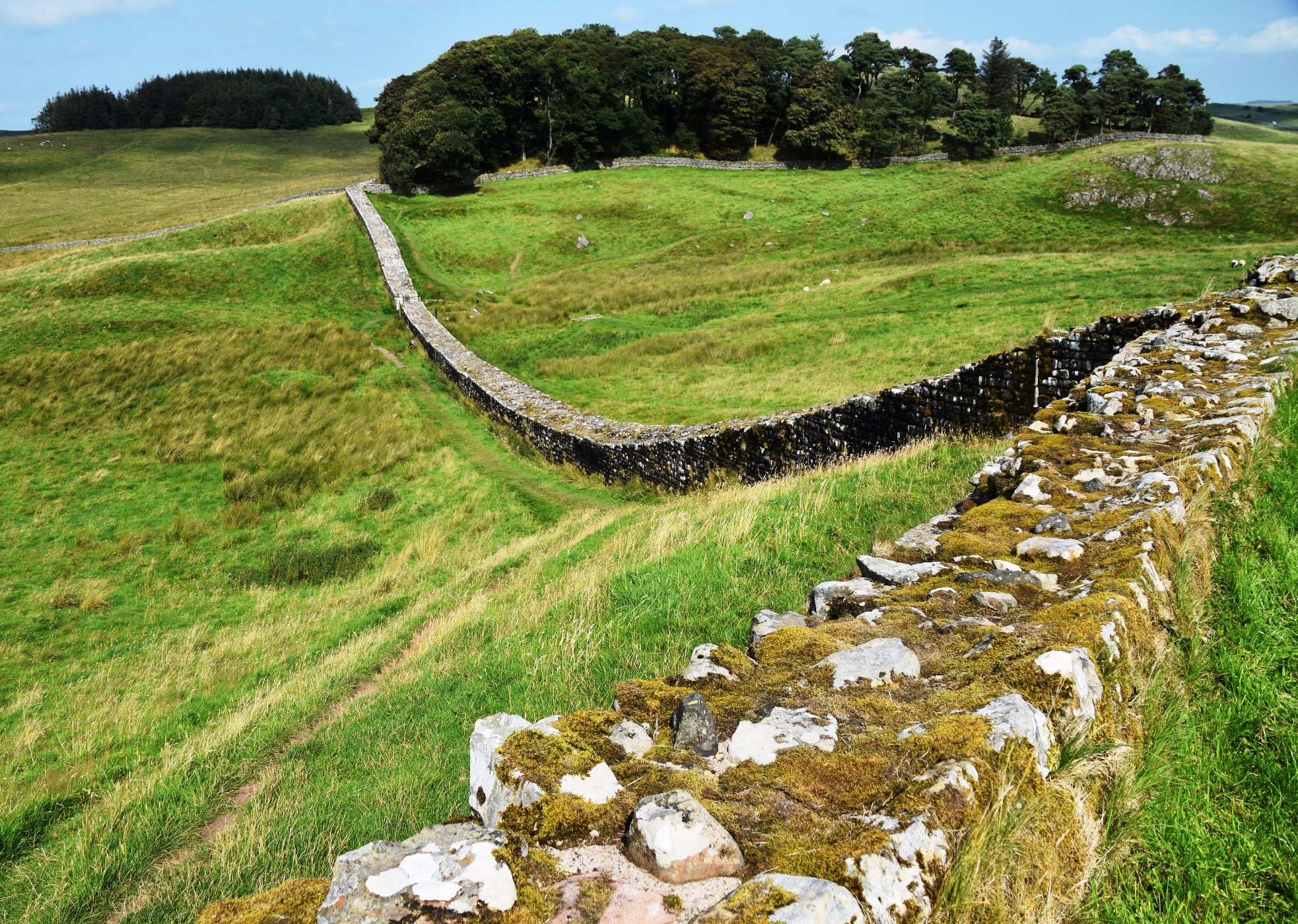
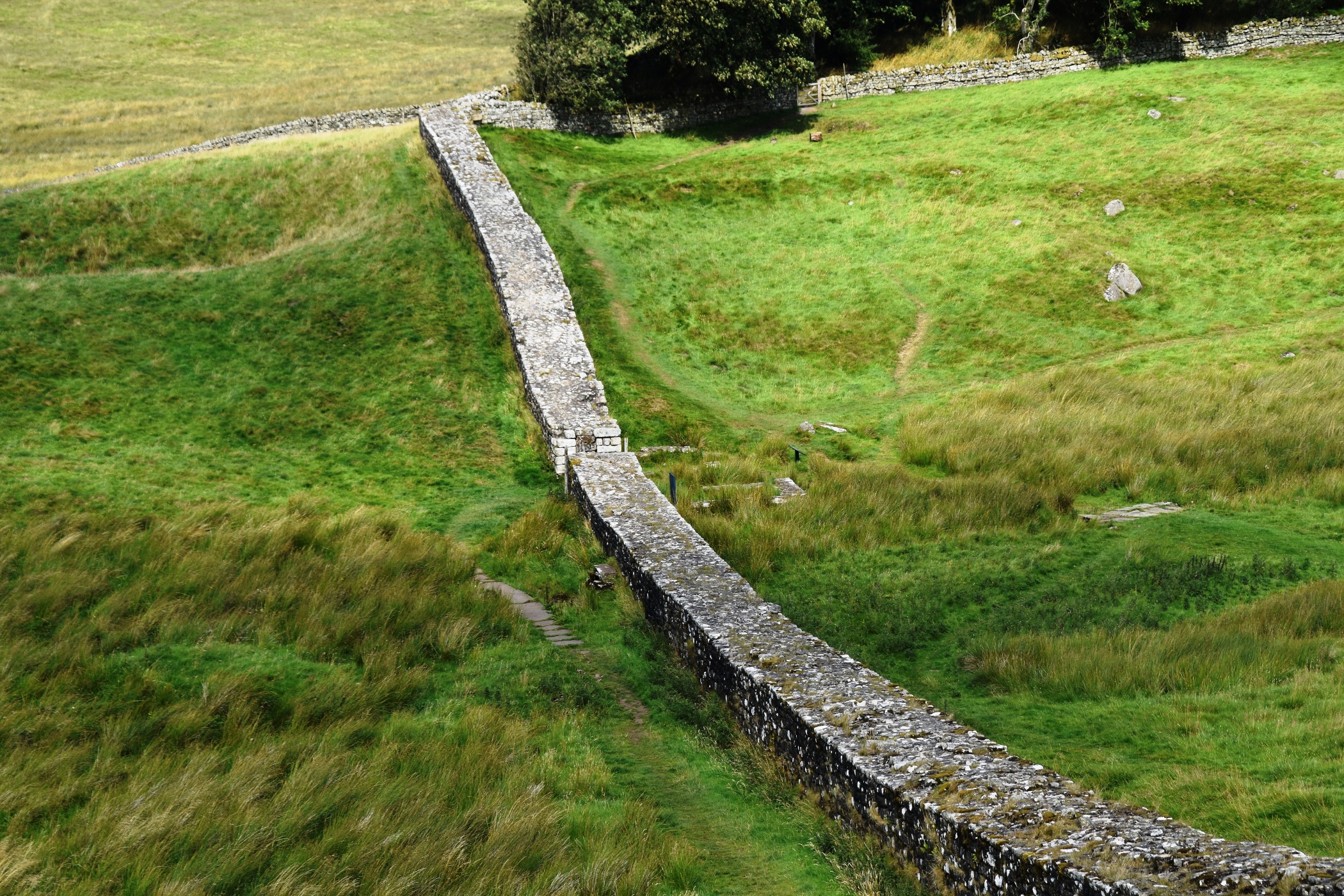
Ian returned to his walk for day 4, from Cawfields Milecastle to Brocolitia. This section is well served by a series of off road car parks with plenty of things to see nearby each one, so I visited the new Sill Discovery Centre and bought myself a day pass. Then I drove back west to Walltown Country Park, a former quarry where you can get good views of some striking dolerite crags, without having to walk too far or too high. Ian, on the other hand, would be spending most of his day conquering these heights. The Romans always aimed for the highest ground, for the best vantage points, and Ian’s trail hugged the wall continually.
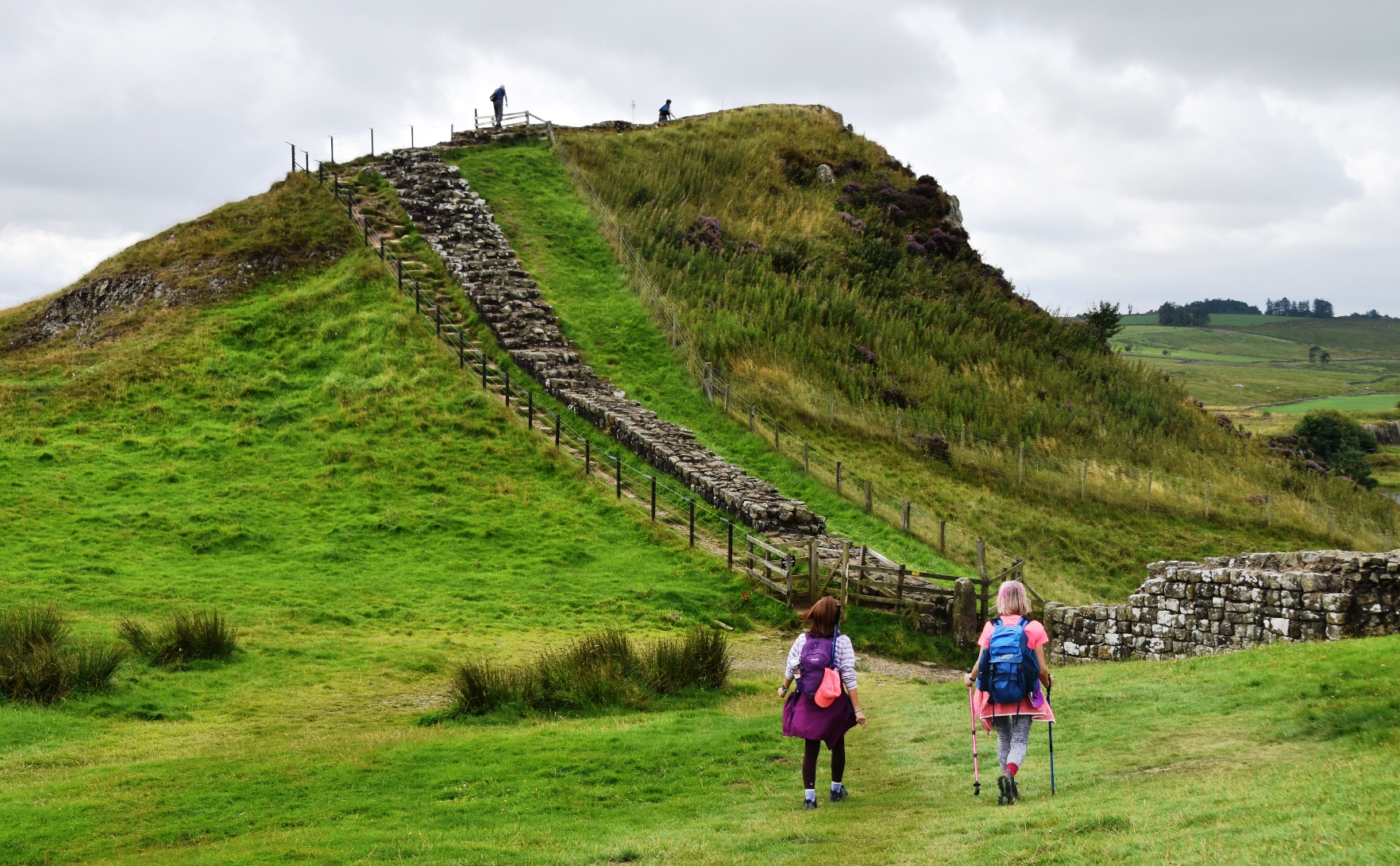
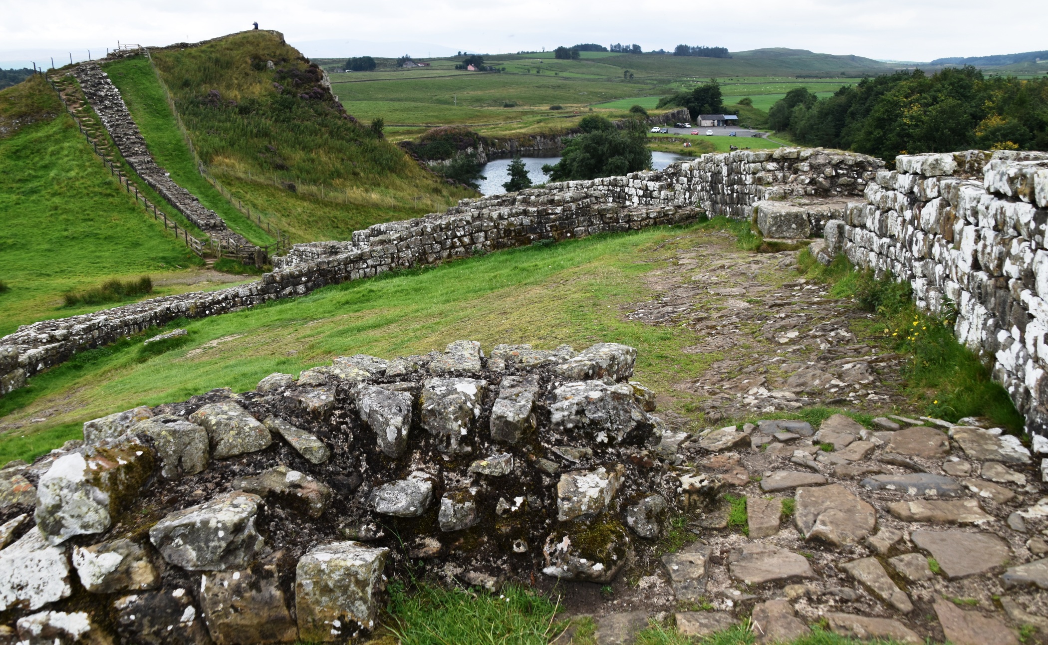
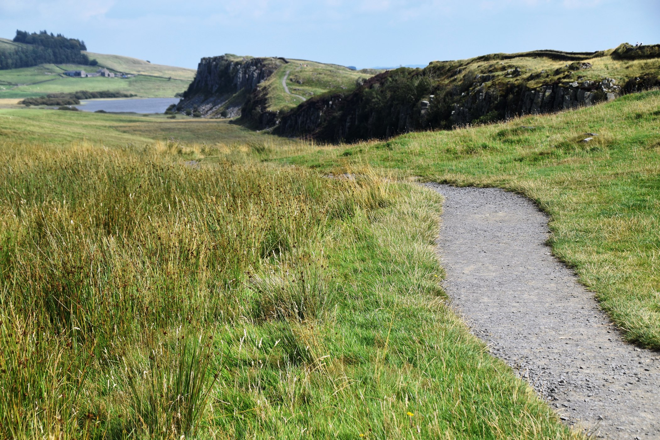
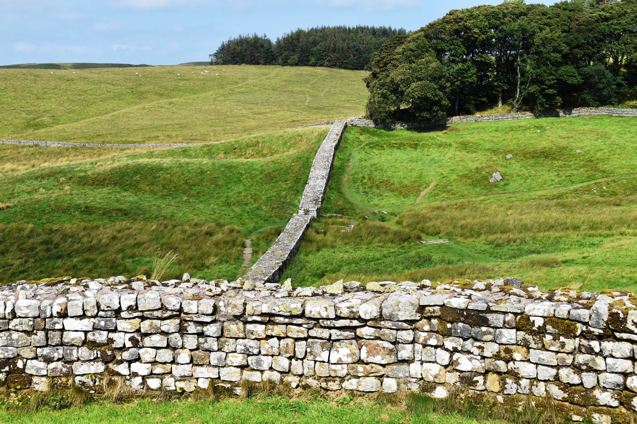
Next I visited Cawfields Quarry, a picturesque picnic spot where the crag is reflected in the manmade lake; unfortunately the sky remained stubbornly grey. This was once a huge industrial undertaking for excavation of the stone. A short walk around one side of the lake and up a small incline brought me to Cawfields Milecastle. From here I had a good view of the terrain Ian would be walking over today.

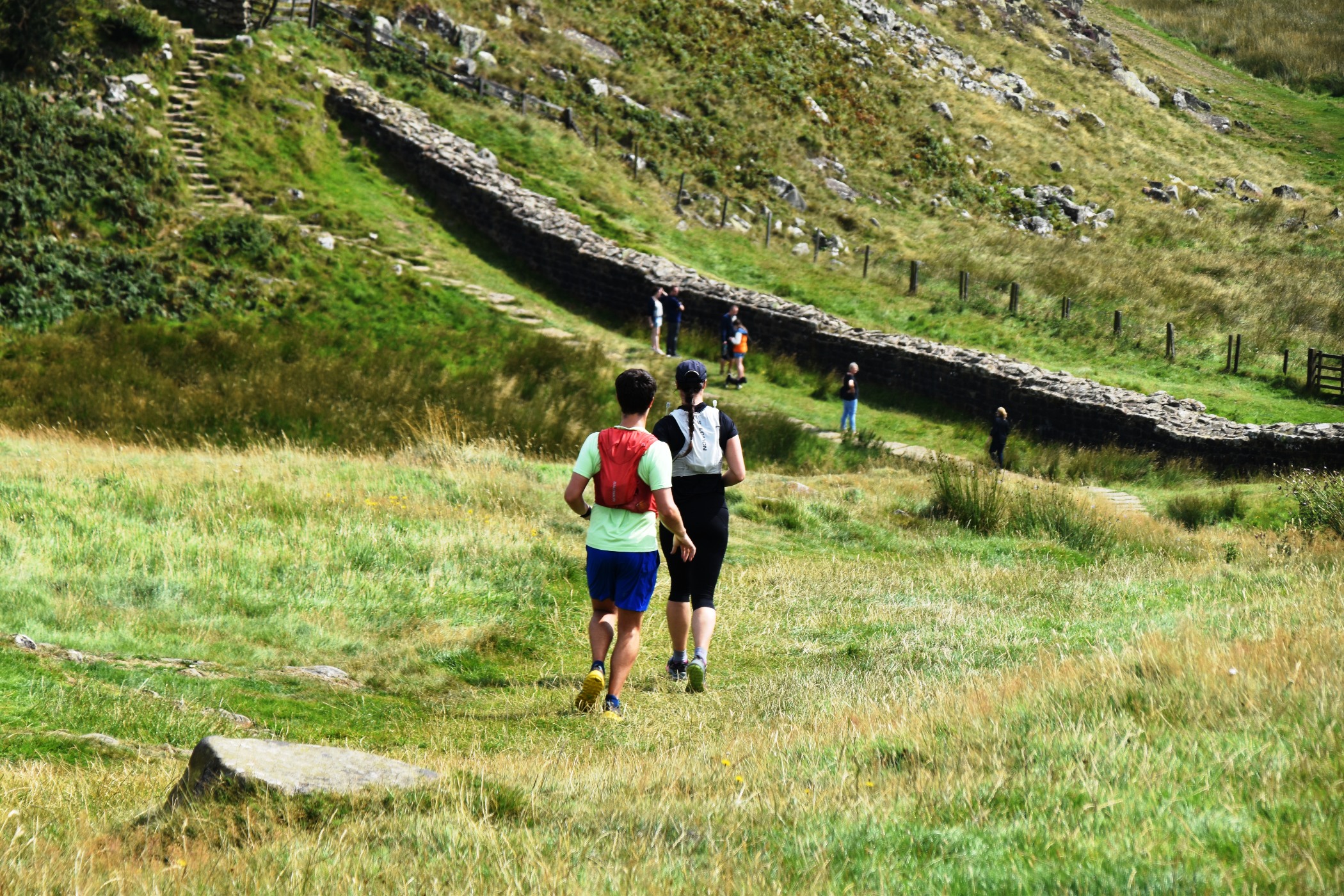
In 2018, we walked from Steel Rigg to Sycamore Gap and return, arguably the most dramatic and photogenic section of the Wall trail. Sadly it is now more infamous for the idiotic act of vandalism committed by two d…heads with a chainsaw and half a brain cell between them. – both now serving time for the damage caused to the Wall when they felled the famous sycamore tree. Today I returned to the familiar car park, walked through the gate, and went as far as the bend in the trail where it plummets steeply down to the bottom of the saddle, turns sharply east, and follows the line of crags towards Housesteads. This section was very busy with walkers, a couple of runners, and lots of selfie takers. I lingered for better light, waiting for the clouds to finally part. I was rewarded with sunshine, and the rest of the day was considerably warmer. I was content to leave my memories of Sycamore Gap as they were, with tree standing tall.


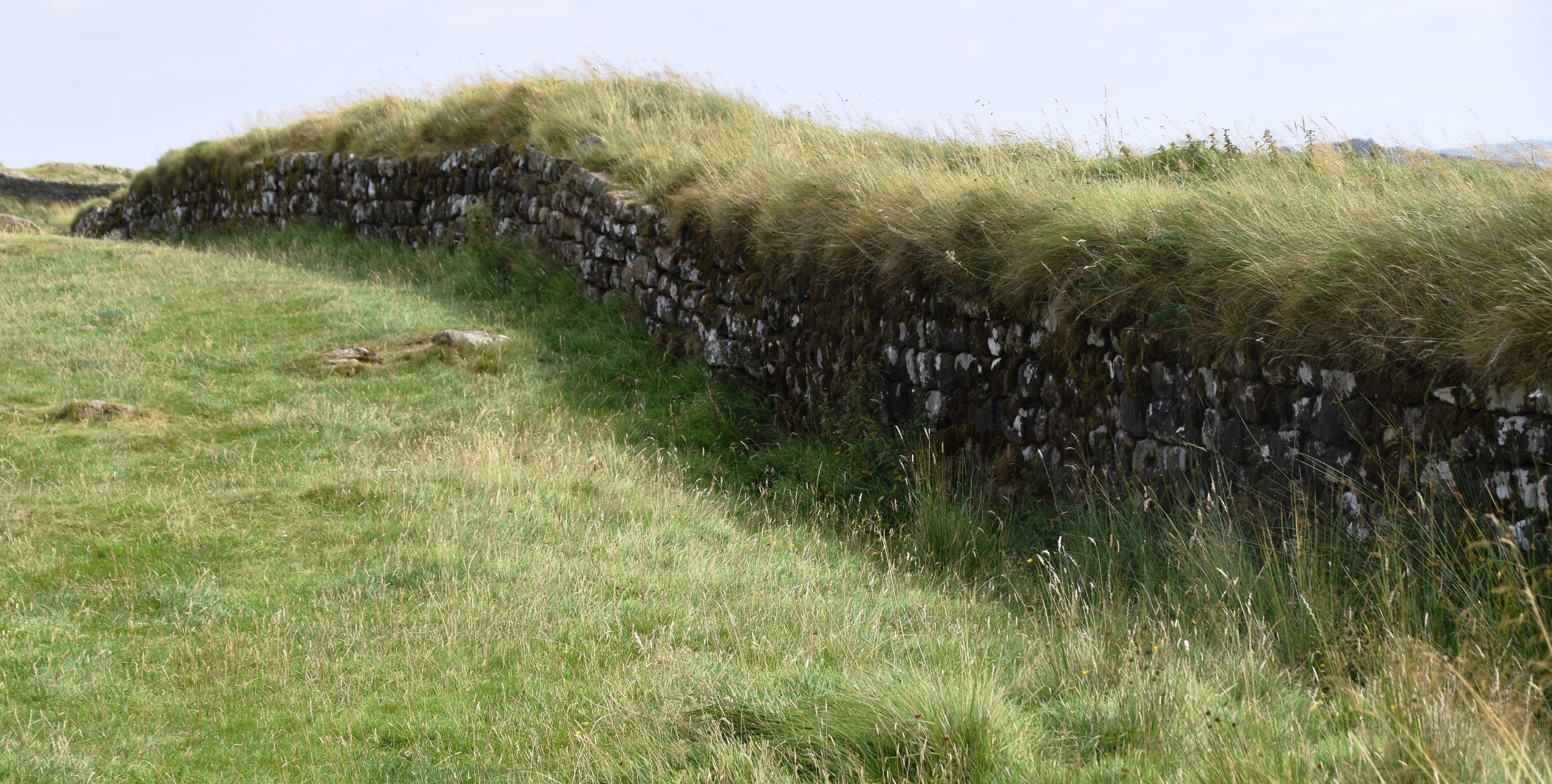
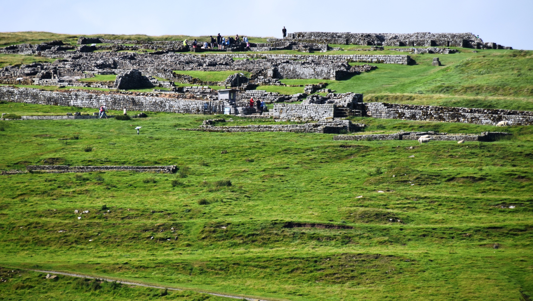
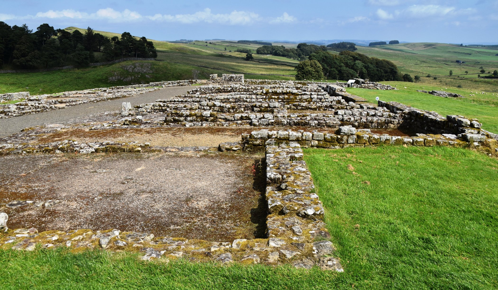
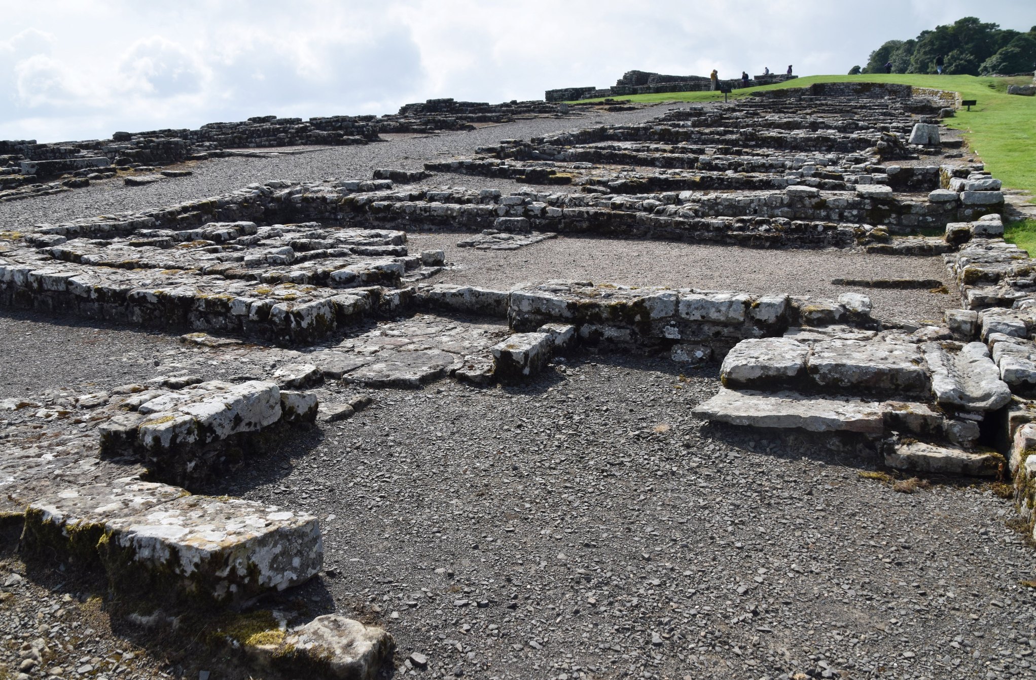
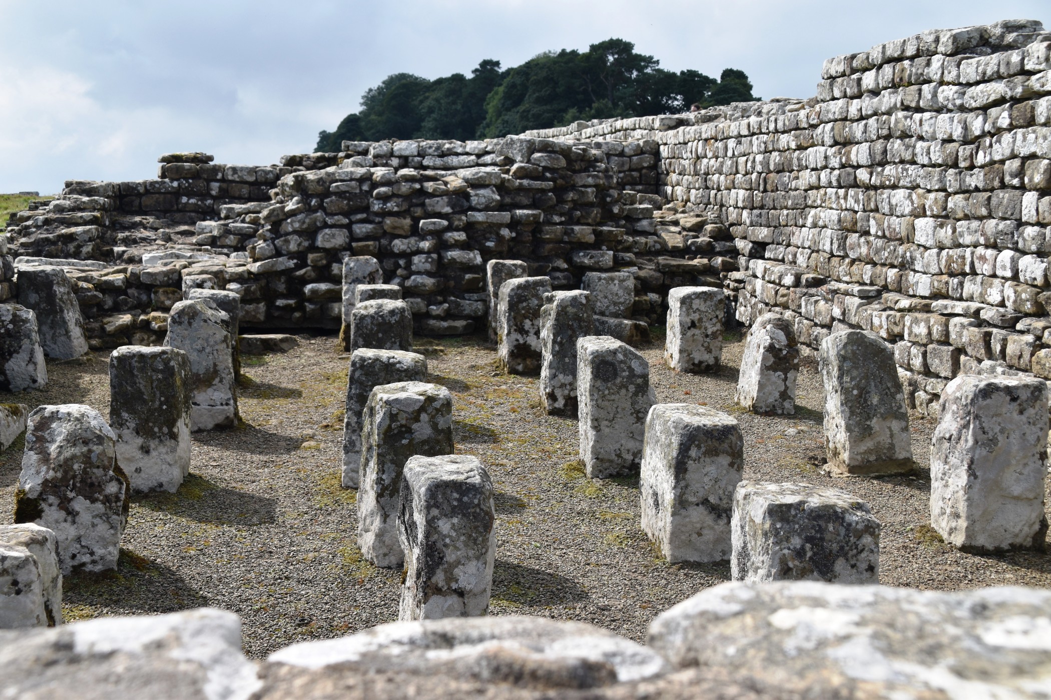
My last stop was Housesteads Roman Fort. The car park is conveniently right next to the road. The ruins of the fort, however, spill down from the ridgeline, some 750 metres away – convenient for the soldiers patrolling the border, but less so for me. It was a breathtaking climb in the other sense of the word – I managed to gasp “one senior ticket” as I leaned wearily on the counter in the small museum. It was worth the effort though – the ruins are extensive and interesting, and the views expansive. I spent a happy hour or so wandering around the foundations of barracks, latrines, watch towers, and the central praetorium. Eight hundred soldiers were garrisoned here, and a village sprung up outside the fort, as was often the way. When the wall was finally abandoned by Rome, many soldiers had married, settled and had families, and they stayed in their new home.


I pulled into the final car park, where Ian appeared at exactly 4pm as arranged. Well timed after a very hilly 18 km hike! He has three walking days and one rest day to go. As for me, I notched up over 9 km on my garmin today, and luckily I have seen far more of the Wall trail than I ever thought. The Roman Empire’s last frontier is a wonderful place for walking.
