After our morning exploring the Karangahake Gorge, we retreated to the house, to plan our tour of the Coromandel Peninsula – aka “the sticky-outy bit” of the North Island, east of Auckland. But first, we had more orienteering to do. Hobbsy invited us to a local Maprun event organised by his club, in Hamilton. It was a Wednesday night, so of course we said Yes. It was a line course, with Short or Long options. As we’d driven for an hour to get there, Pete and I picked the Long course, while Ilze sensibly opted for the Short.
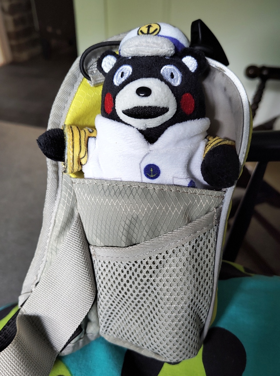
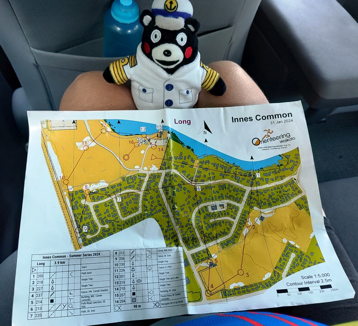
I decided it was time for Captain Kumamon to try orienteering for the first time. After all, how hard can it be for a sea captain (retired) to read a map? Ensconced in his new Bear Transport Device, he successfully completed the 3.9 km course in 5.4 km. This is the furthest I’ve run for several months. We started in a large, open park, went out into the nearby streets, and into another large, open park. Back into more streets, along a bike trail, and a final loop around the first park. All straightforward stuff, and tiring on the legs as there were really no excuses not to run (unless you’re a bear with teeny tiny legs).
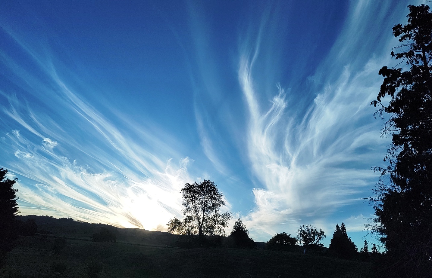
On the way home, CK studied the map and chastised me for my only error; turning early for no 1, down a long driveway instead of a long laneway. Pity he didn’t tell me at the time. We also saw some striking cloud formations, as we drove along the first stretch of flat, straight road we’ve come across on this trip.
There were certainly no flat, straight stretches of road the next day. Our plan was to arrive at the famous Hot Water Beach at low tide, which was either 6am or 6pm. It won’t take much mental effort to figure out which of those we picked. As a result, we had a full day to drive up the west coast to Coromandel town, across the peninsula, and back down the east coast, stopping at whatever took our fancy along the way.
First stop was Thames, a reasonably sized service town at the base of the Coromandel, and the jumping off point for the loop road. We checked out some shops along the main street, then began the scenic drive north. We quickly found out what sort of day we were going to have – the road literally hugged the coastline, with not so much as a guardrail preventing us from plunging into the water. Sometimes there were tiny stretches of dark sand beaches, strewn with pebbles, seaweed and driftwood; not enticing for a swim or paddle, even if you could find a place to stop safely. There were a myriad of small headlands, and the road curved tightly around each one – switchback after switchback in rapid succession. The scenery was beautiful, but the drive was nerve wracking.
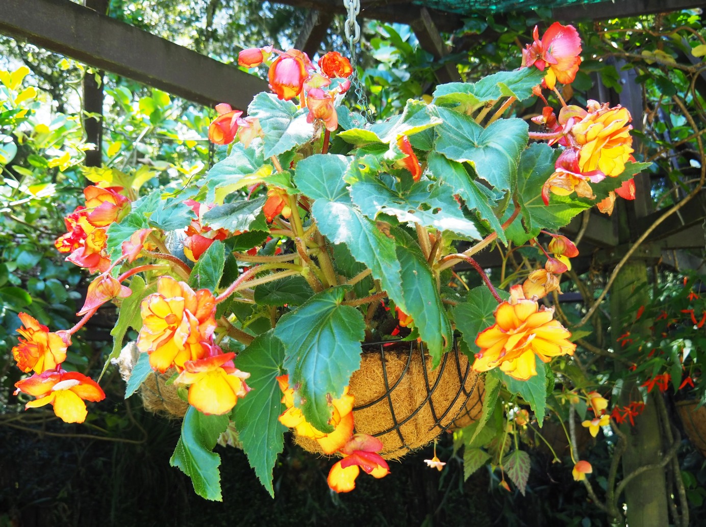
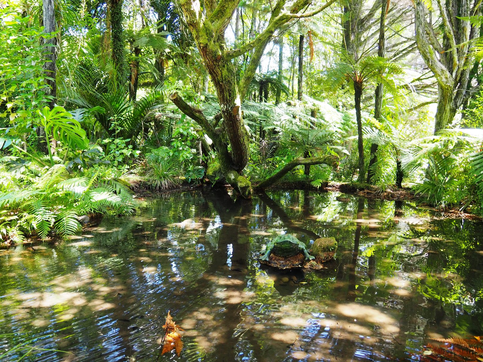
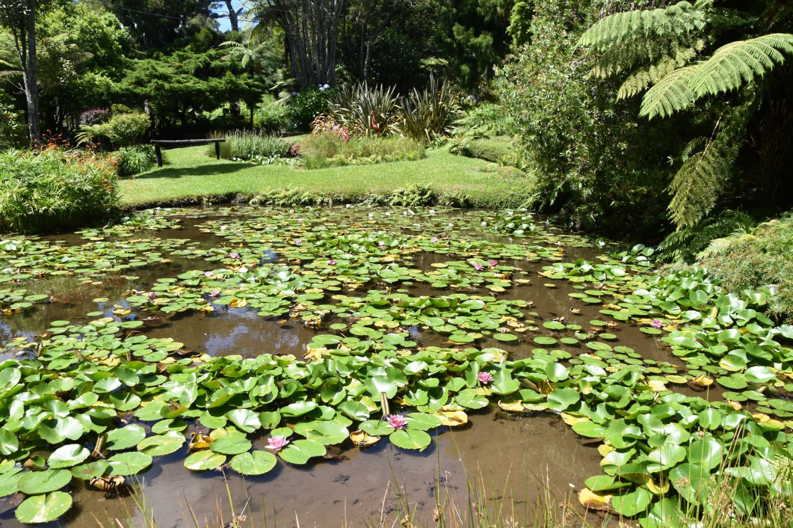
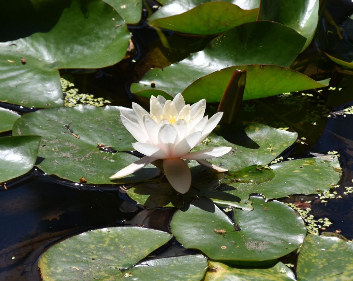
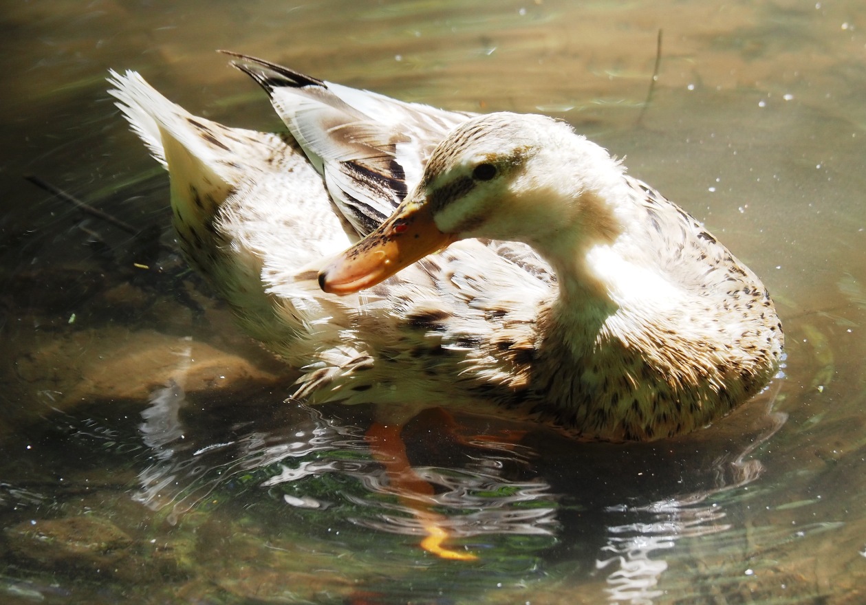
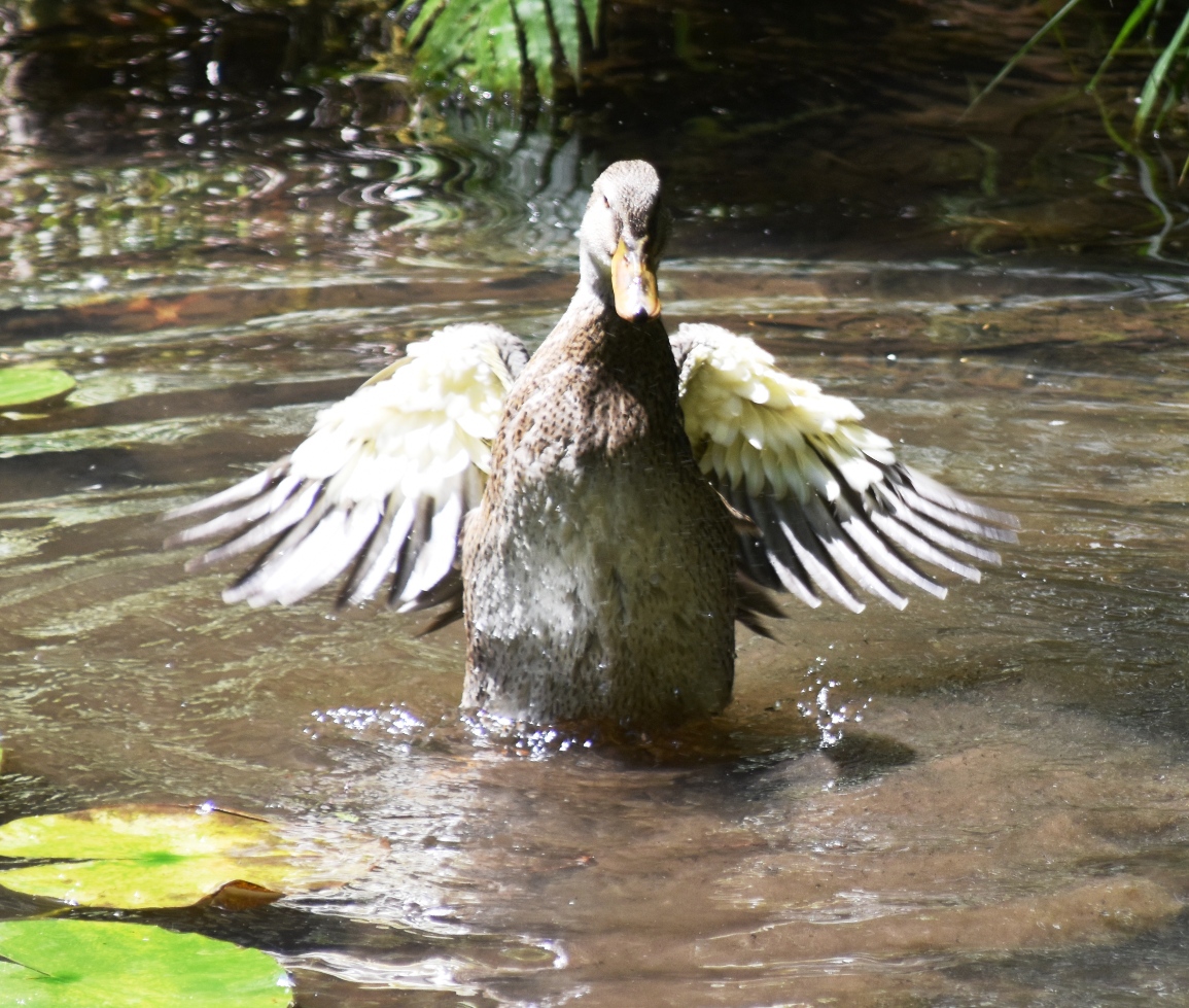
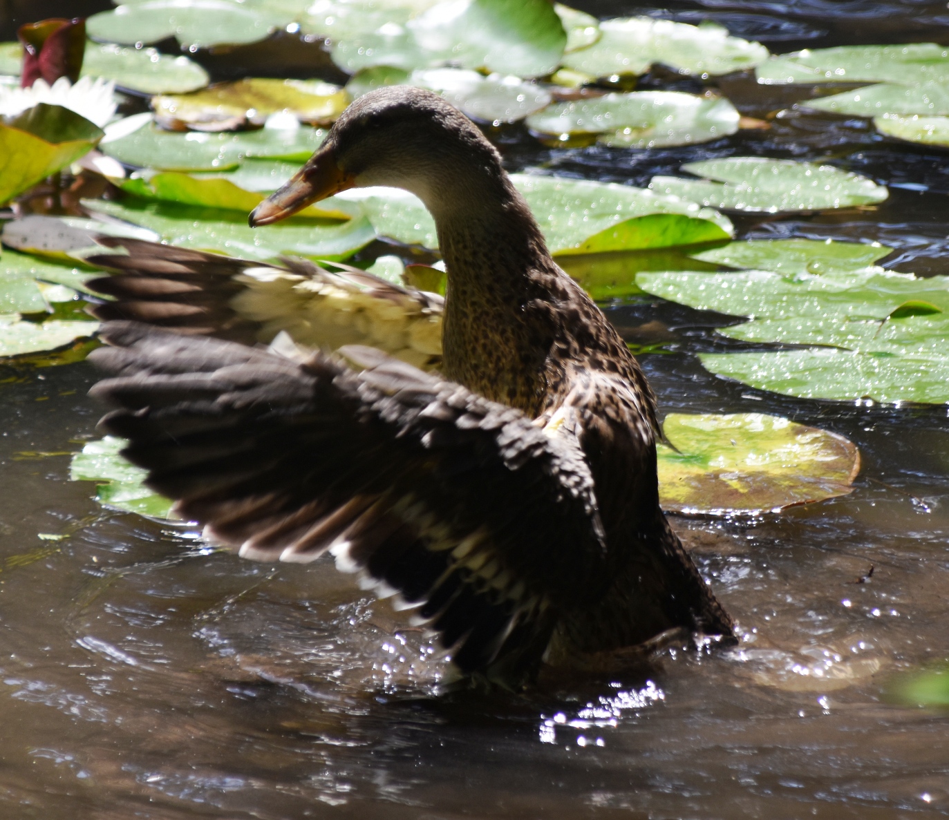
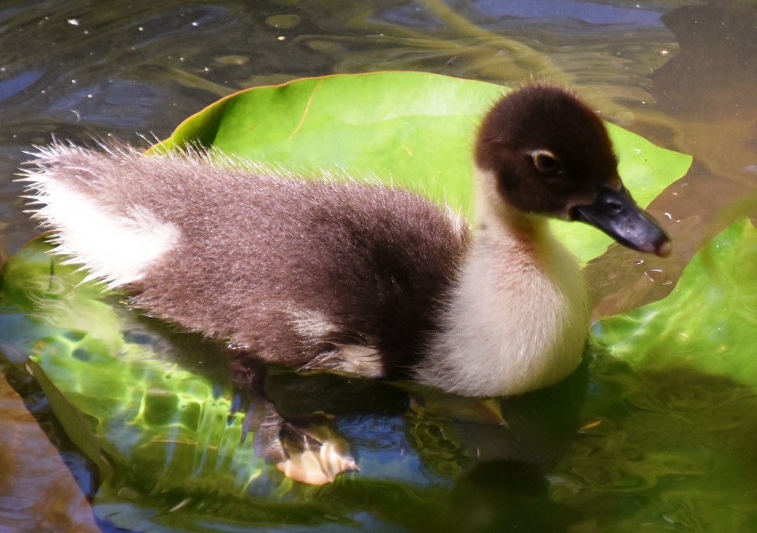
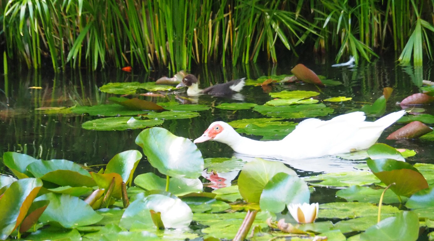
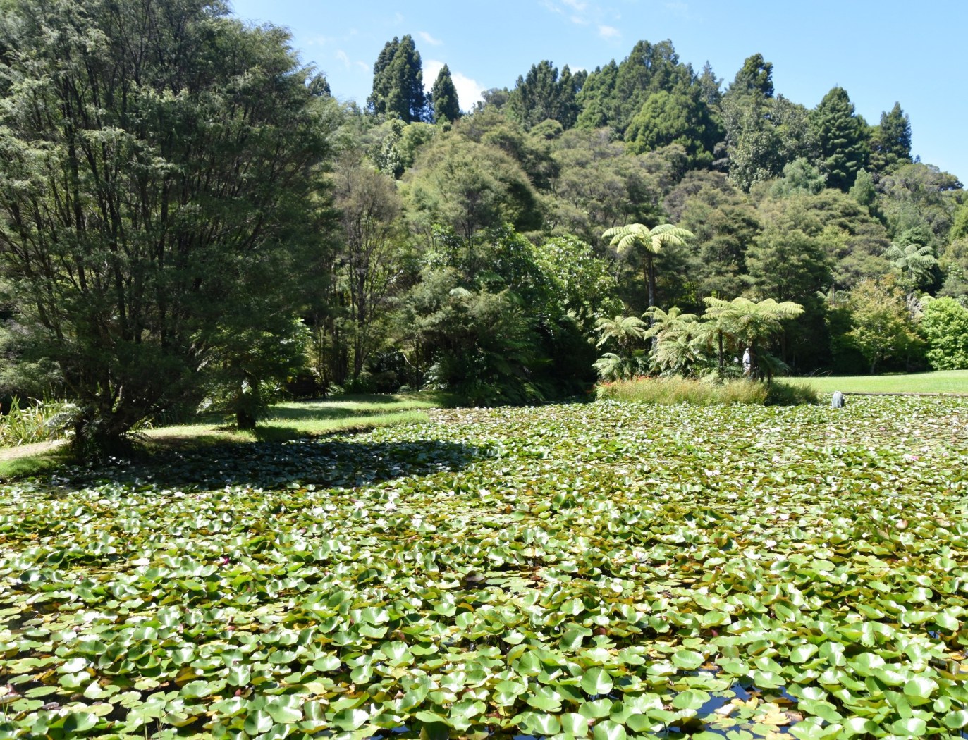
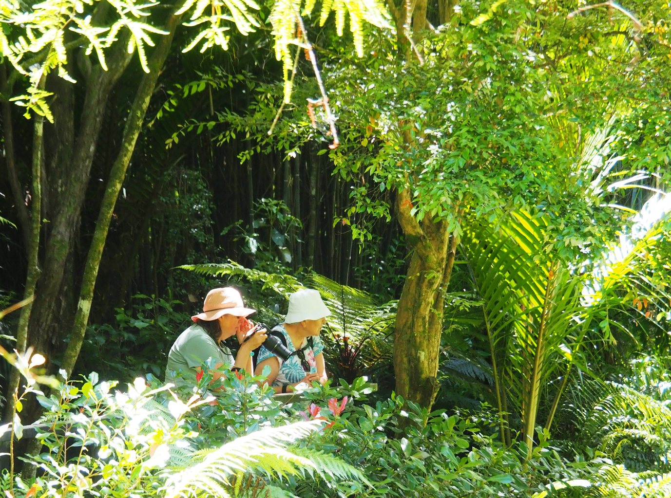
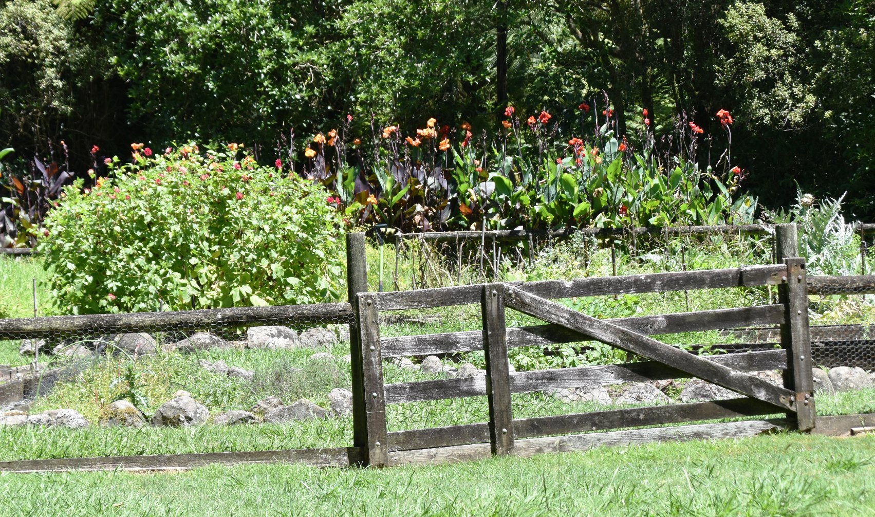
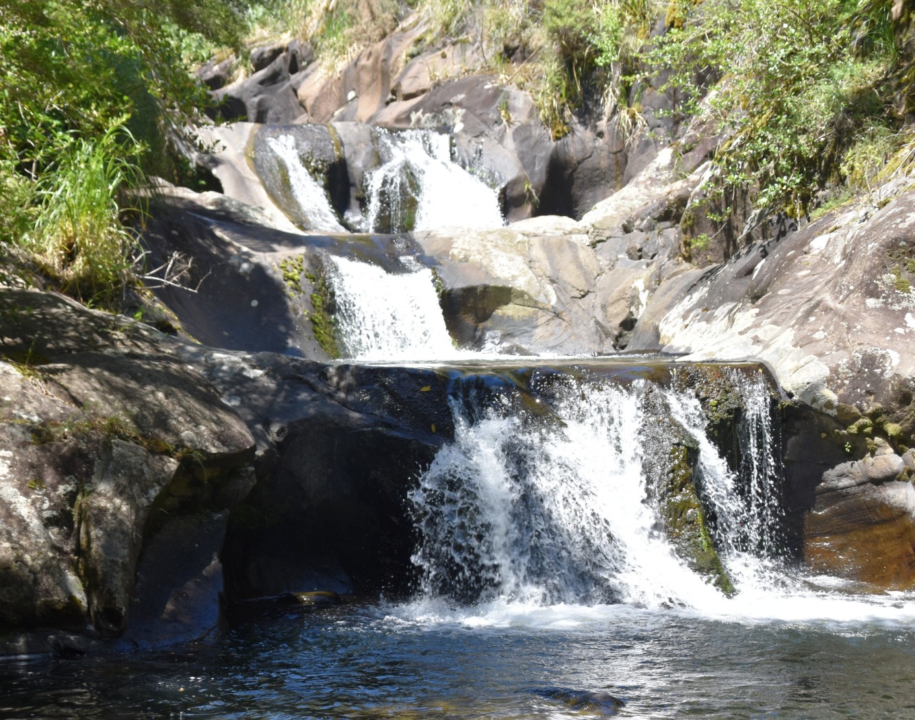
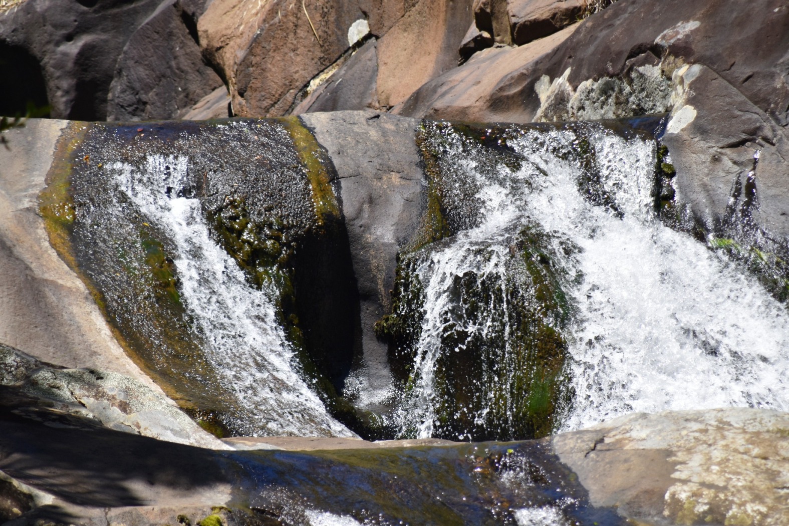
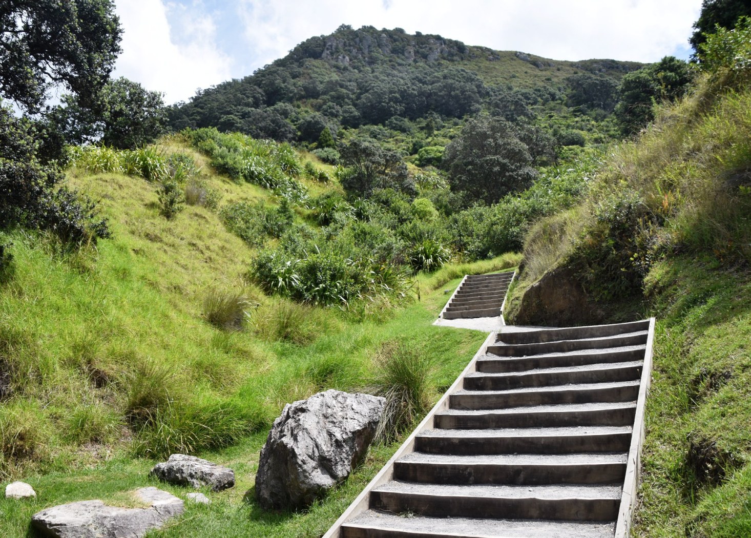
We turned inland to visit the Rapaura Water Gardens, tucked away in the beautiful Tapu Valley. This is a privately owned garden, built in the 1960s in the native bushland. The first section is man made, featuring several waterlily ponds complete with ducks; we sat and watched their antics. Crossing several bridges, a track led gradually uphill through native forest, to a lovely waterfall. Imagine having all this in your own back yard! It was a haven of tranquillity, and absolutely lovely.


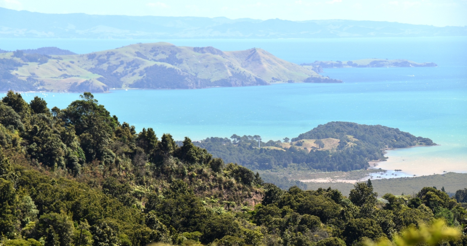
After lunch beside a windswept beach, we pressed on. The road did not improve, and we made slow, careful progress. As it neared Coromandel town, it took us high up over two headlands; we stopped at lookout points as much to draw breath and relax for a few minutes, as to admire the sweeping views across the hillsides and out to the islands.
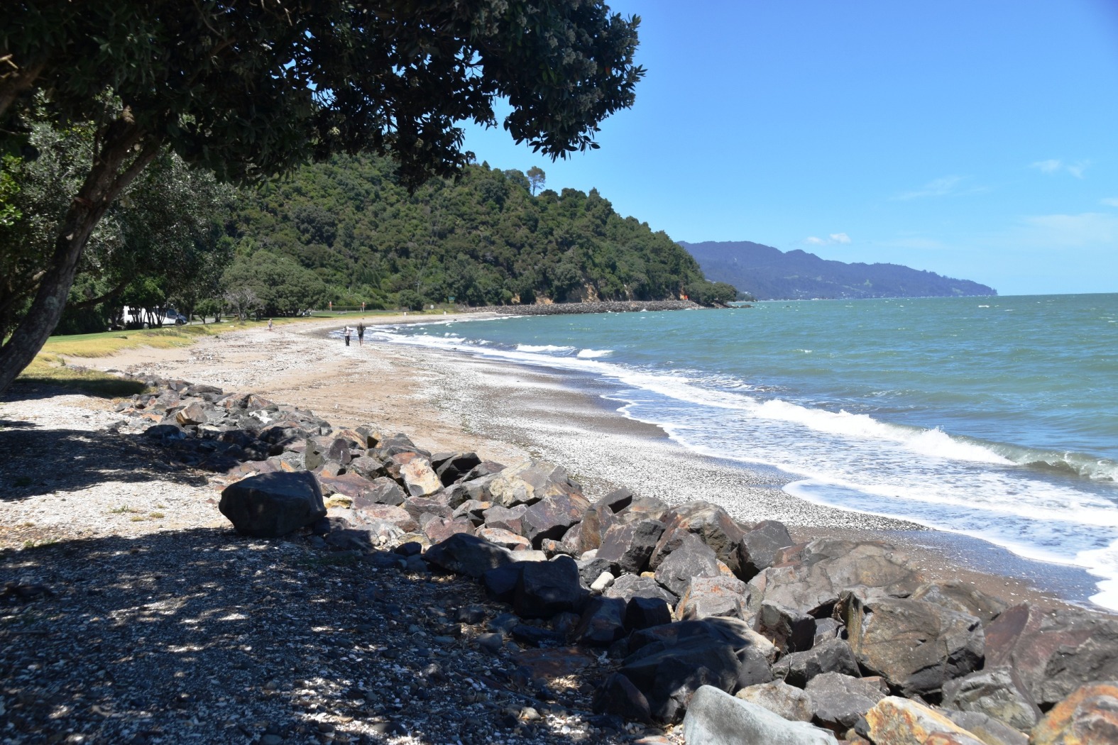
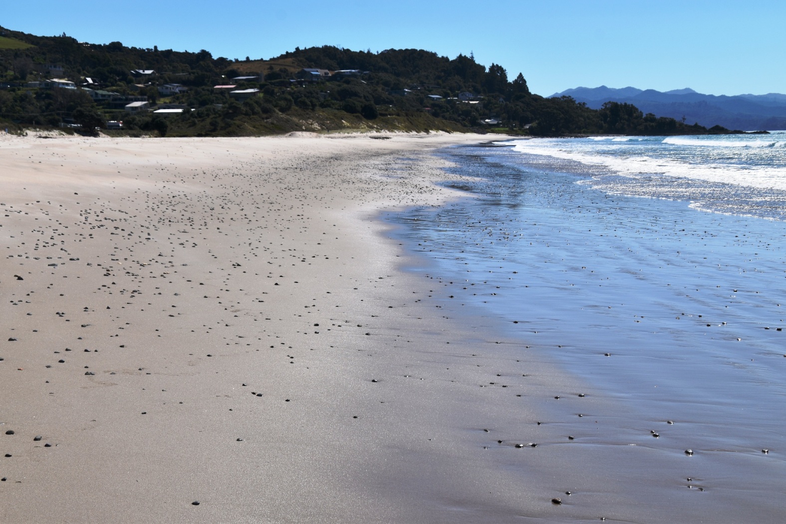
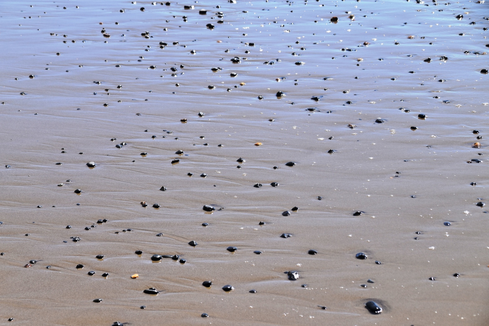
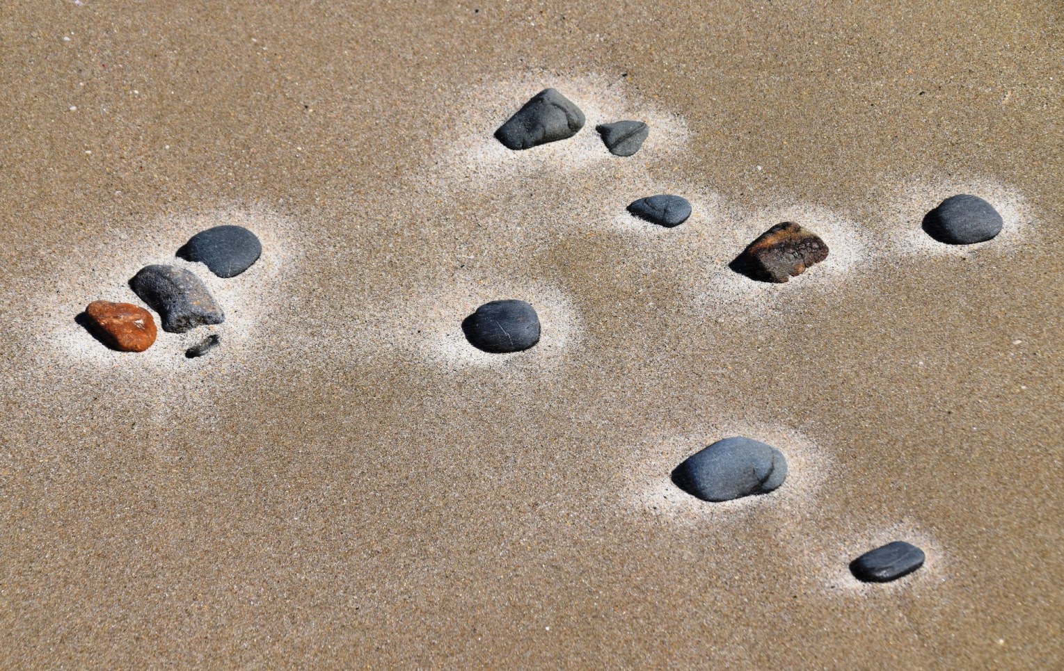
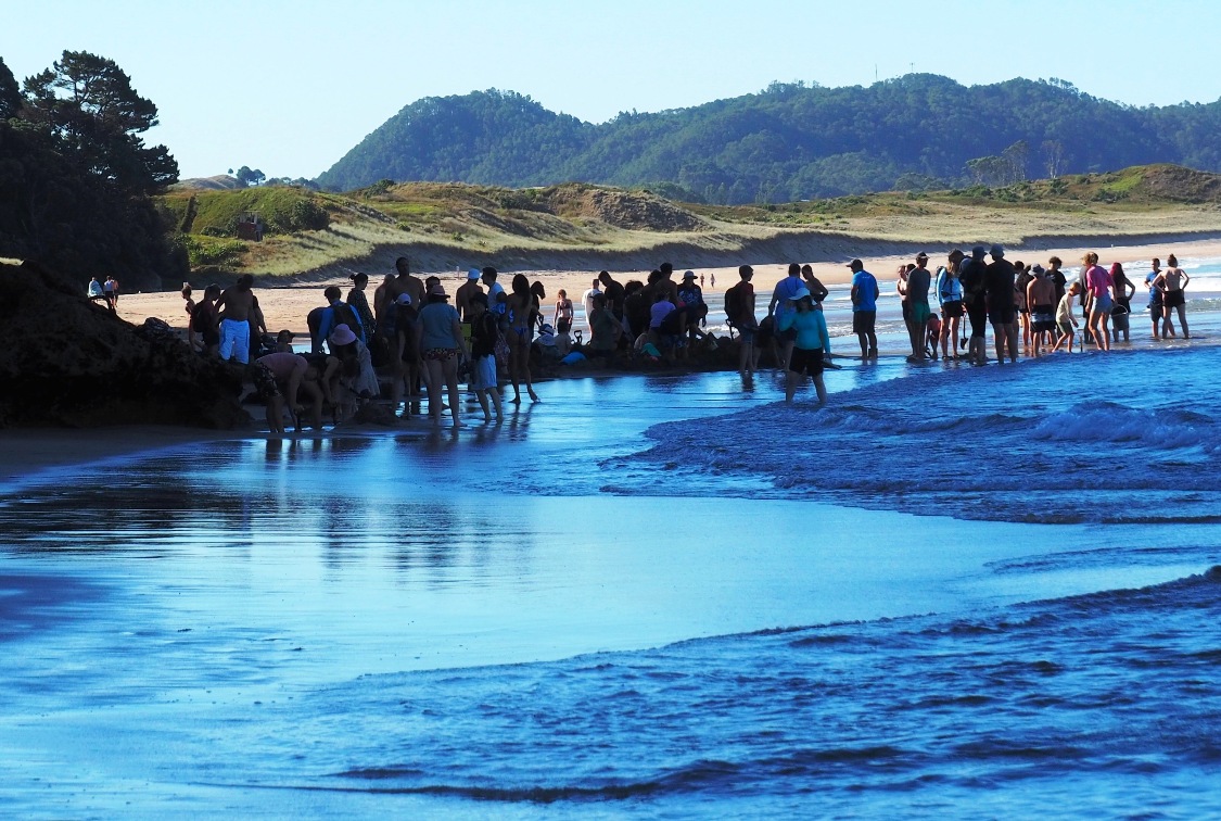
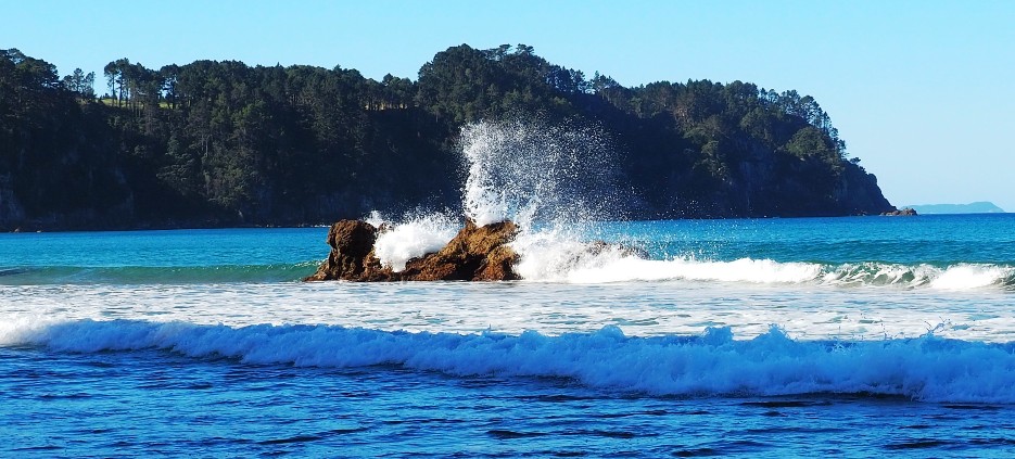
It was hot in the small tourist town, and we wandered up the shady side of the main street, sat for a while, and wandered back again. We were putting off getting back into the car, but time was marching on, and we still had a lot of driving ahead of us. We faced one more particularly torturous climb and descent to get over the western range, then the road improved as we approached the eastern side of the peninsula. Soon after turning south, we pulled over at a long, inviting stretch of sand facing the ocean. It was time for a paddle and a cool-off. We watched the waves and an oyster-catcher, and poked around among the pebbles and shells, enjoying another respite from the fierce concentration of driving.

Finally we turned off the “main” road, towards Hot Water Beach. As the name suggests, there are hot springs beneath the sand. Only accessible at or near low tide, you have to dig down in the right spot; you can hire a shovel, and the large crowd gave away the location. The water is literally boiling in some places, with steam rising from the sand; in others, it’s just the right temperature to DIY your own hot tub. We opted to remain standing, but it was weird to feel warm waves splashing over your feet as you squished your toes down into hot sand. Even without the hot water, it’s a lovely beach, and we enjoyed the late afternoon sun.

Dinner beckoned, and a nearby restaurant offered excellent fish tacos, and possibly the best chips I’ve ever had. Absolutely delicious. Temporarily de-stressed and fortified, it was time to make the final push for home. There was a white-knuckle ride up and over Pumpkin Hill, then a long, long descent back to Thames. It was a relieved trio that eventually pulled up at the house, just as darkness was falling.
Later I read that New Zealand has the third highest rate of road fatalities in the world. After seeing these roads – and these are the only roads, so you don’t have a choice – I’m not surprised. The speed limit was often signed as 100 kph, when it was completely unsafe to be doing half that. We were all worn out from the sheer effort of staying firmly focused, and each of us “drove” every inch along with the designated driver. The Coromandel is very beautiful, but you won’t get me driving here again.
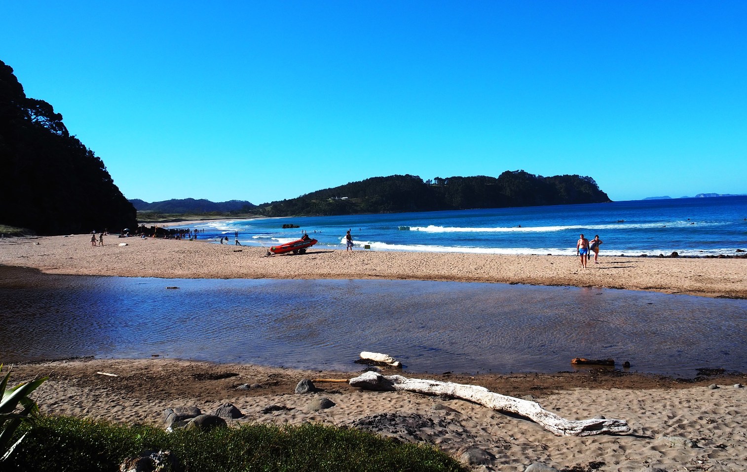
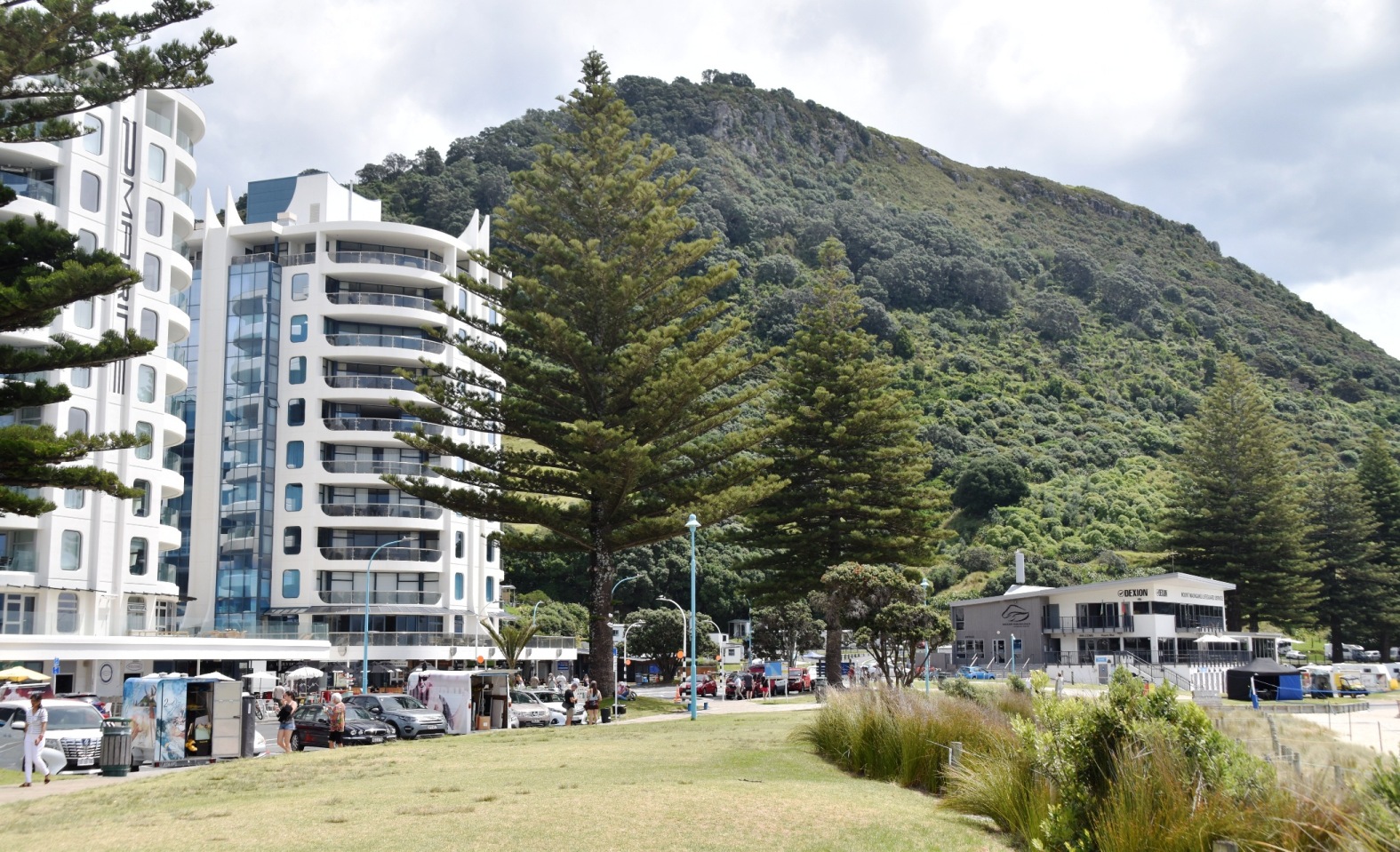
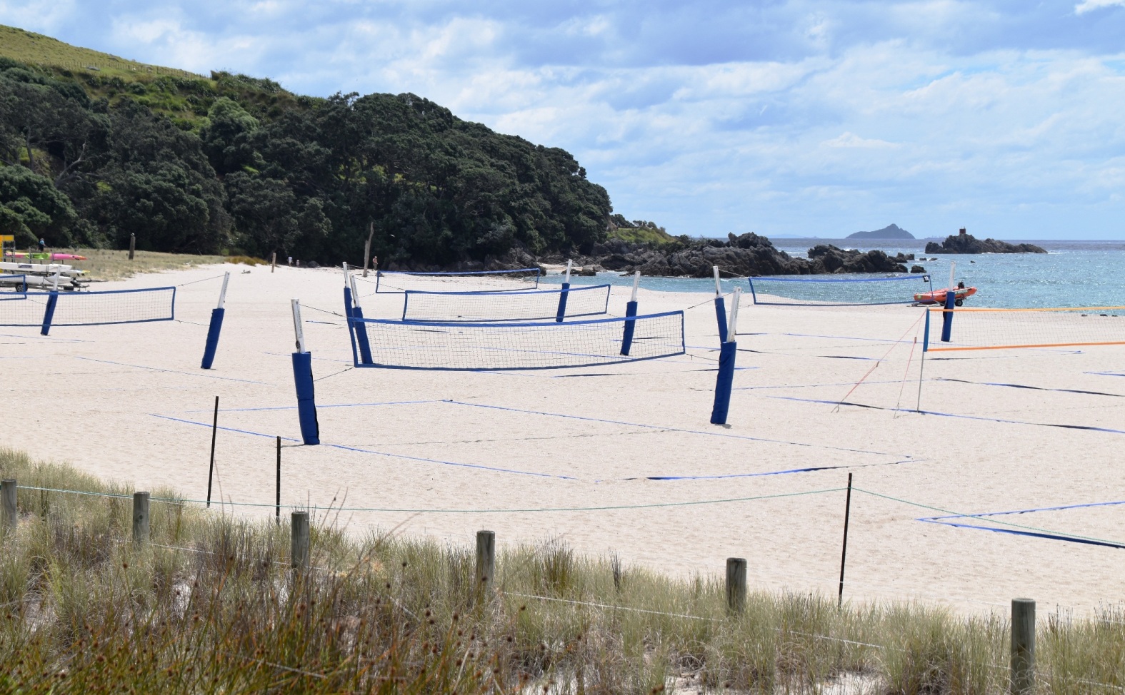
Luckily, today’s trip to Tauranga was far more straightforward, although still with its share of the roadworks that seem to be everywhere. We were headed for Mount Maunganui, for a look-see at the Bay of Plenty’s main attraction. We drove past the cricket ground where Australia and New Zealand will play a Test match later this month. Tauranga is a sizeable city, and has a huge container port, which we passed through as we crossed the bridge to Maunganui, which is on its own island. Captain K was delighted to spot two cruise ships docked in the picturesque harbour below the mountain; I had to keep a firm grip on him to ensure he didn’t try to stow away.
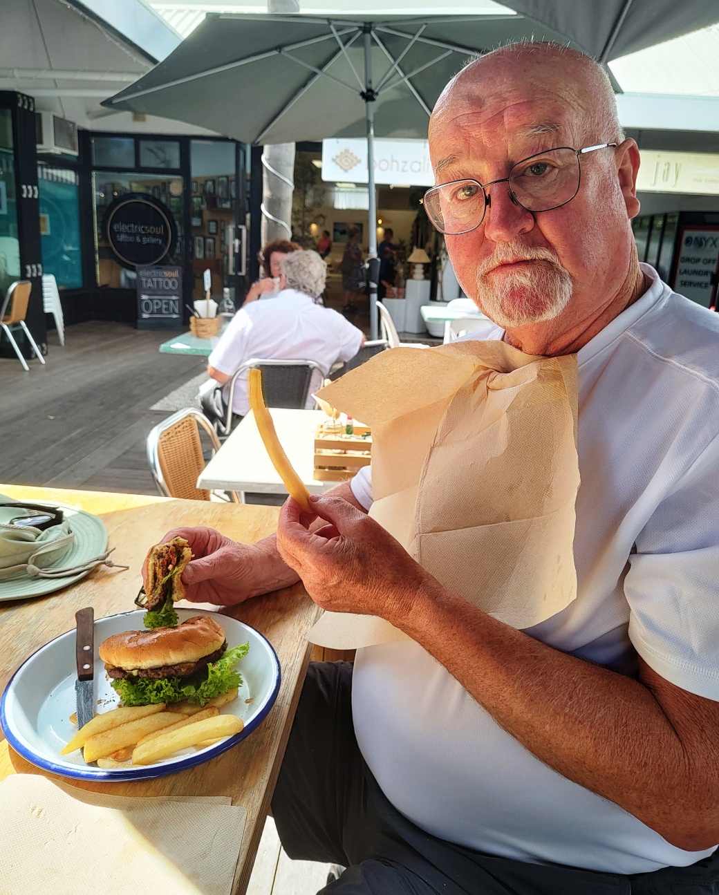
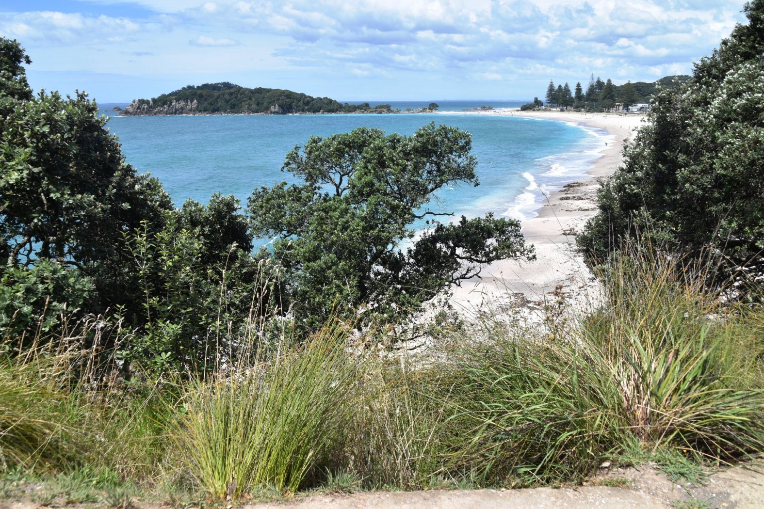
Mount Maunagui has definite Noosa vibes; the large, forest-clad hill at the eastern end of the island dominates, but the main street is lined with boutique and tourist shops, bars, cafes and restaurants – all with “cruise guest” pricing. We heard lots of American accents. After lunch, we headed for the ocean beach and the mountain’s foot, for a closer look. We skipped the steep hike to the summit, but I walked a short section of the base trail, which loops around the bottom, and provides nice views back along the beach and to the other islands just offshore.

It was strange to be in a cruise port, with cruise passengers, but not to be one! We guessed that the shore excursion of choice would be to Hobbiton (the movie set), then down to Rotorua. You’d never get a tour bus around the roads of the Coromandel.
It’s our last night at Karangahake; we’re off to Auckland in the morning, for the last three Sprint races.

Welcome to NZ and its character network of roads. I grew up with these types of roads, including when learning to drive. It took a while for me to get used to the long straight roads of Australia. We’ve been enjoying the twisty roads of Northland.
I guess at least the roads here keep you awake