It was dry in Gernsbach this morning, so we decided to drive the Schwarzwaldhochstrasse, or Black Forest High Road (aka the B500). We figured on a cool, cloudy Monday, it would be a lot less busy than on yesterday’s sunny Sunday, when the motorbikes would have been out in force. This 60 km road is a famous classic drive, which appears on everyone’s “must do” list.
The road is in excellent condition and is easy to drive, with well-engineered curves and plenty of width. Much easier than most roads in the UK! We joined it at Lichtental, a little south of the official start at Baden Baden. Raindrops soon began spattering across the windscreen, and before long we were seeing nothing but mist and water. This was looking like a bad idea … nevertheless we pressed on.
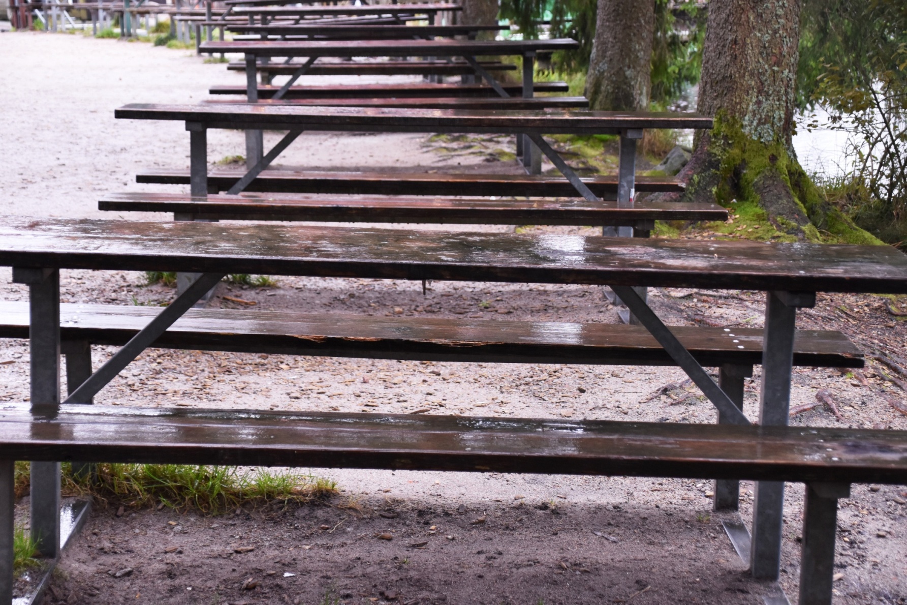
We pulled in at Mummelsee, and nosed our way into a vacant parking space. We’d seen almost no traffic, but the car park was crowded. We ate our sandwiches and waited for the rain to ease off, which it did. The rain was a curse and a blessing – we couldn’t see much, but most of the tourists were taking shelter in the souvenir shop.
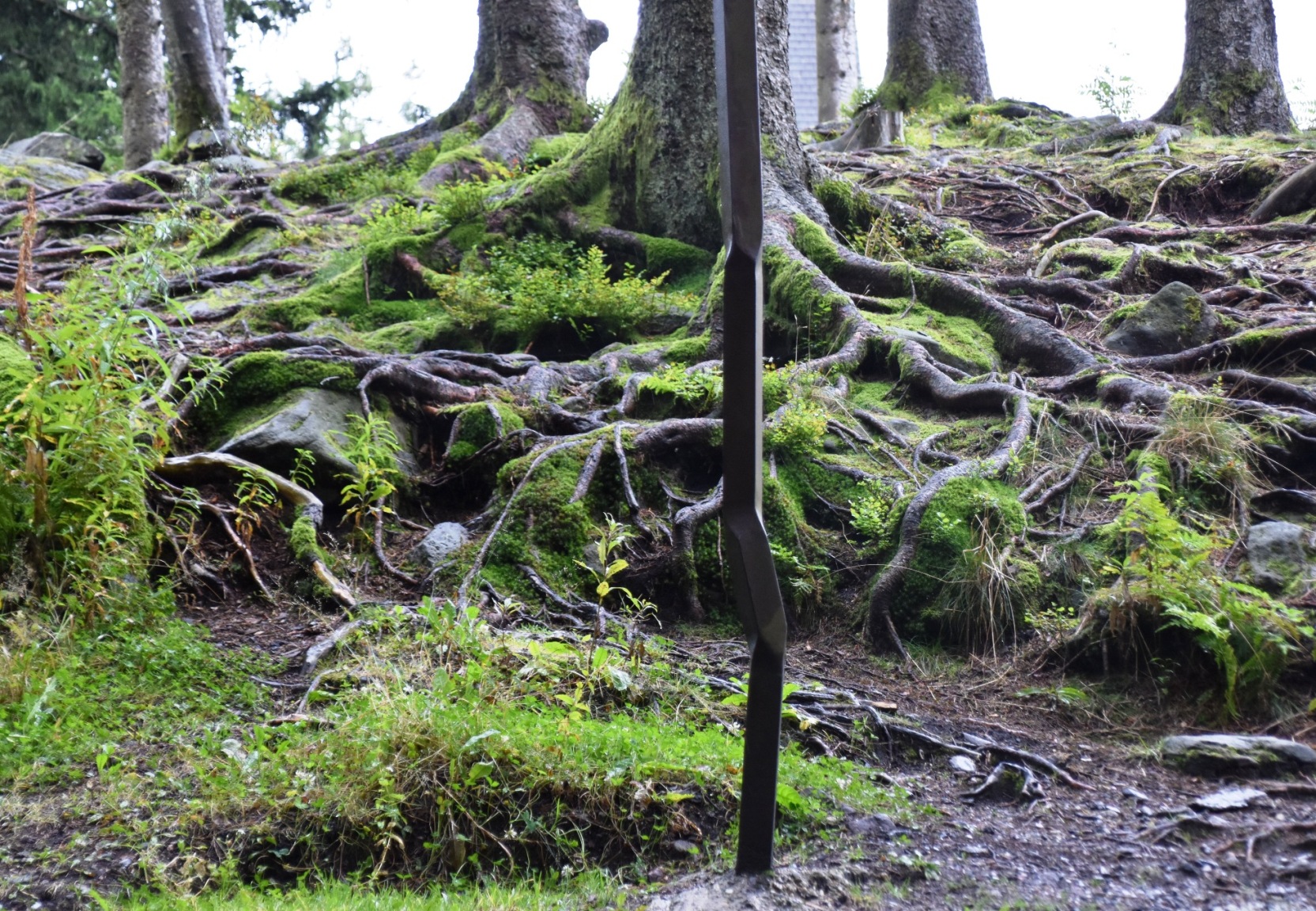
I opted for an easy stroll around the small lake, while Ian chose to climb up to the Hornisgrinde, the highest mountain in the northern Black Forest. It is an alpine meadow, with about 9 different towers for various purposes.
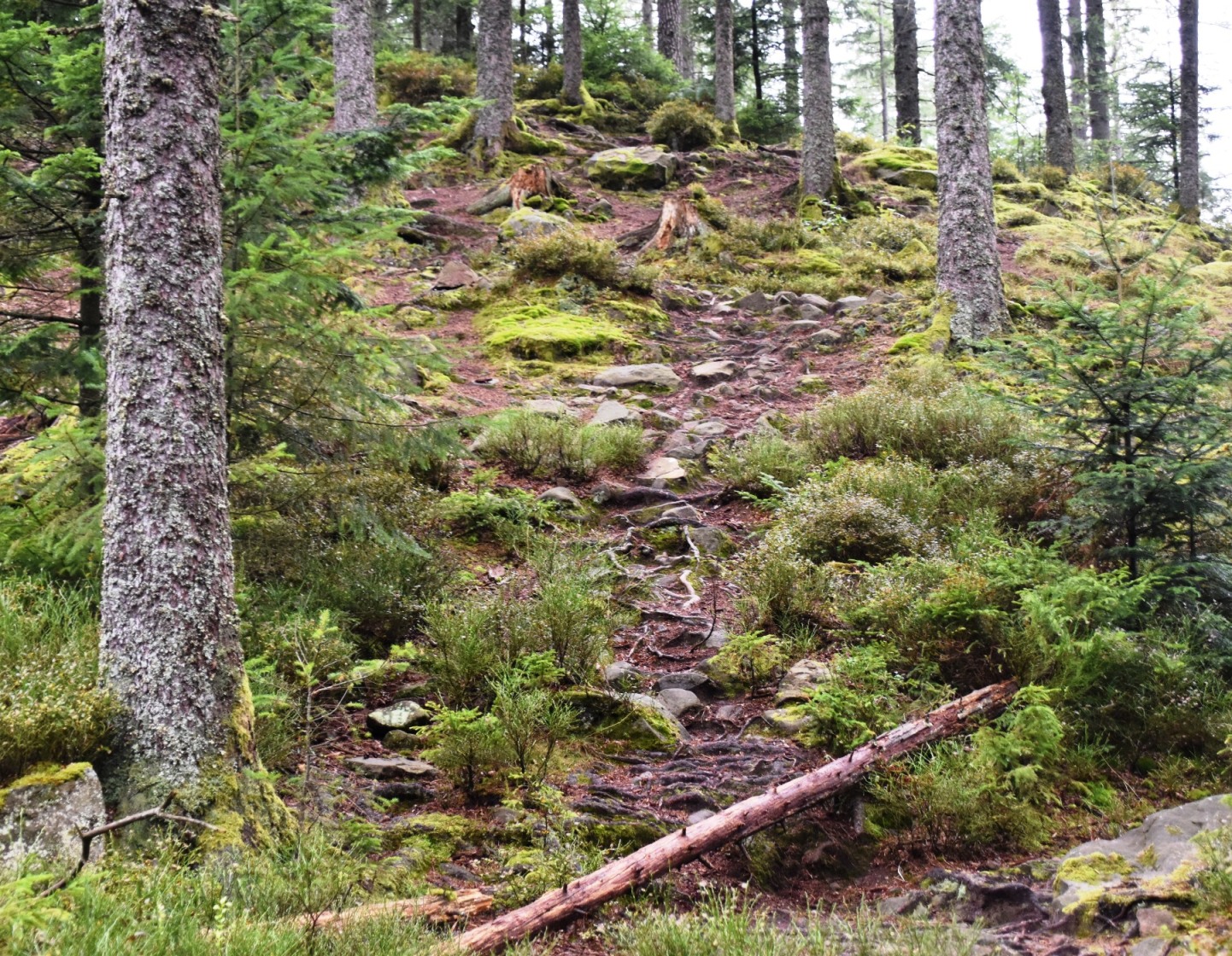
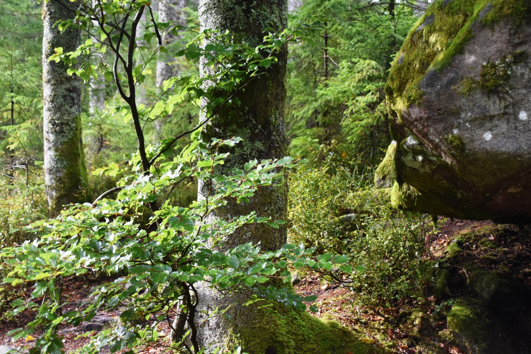
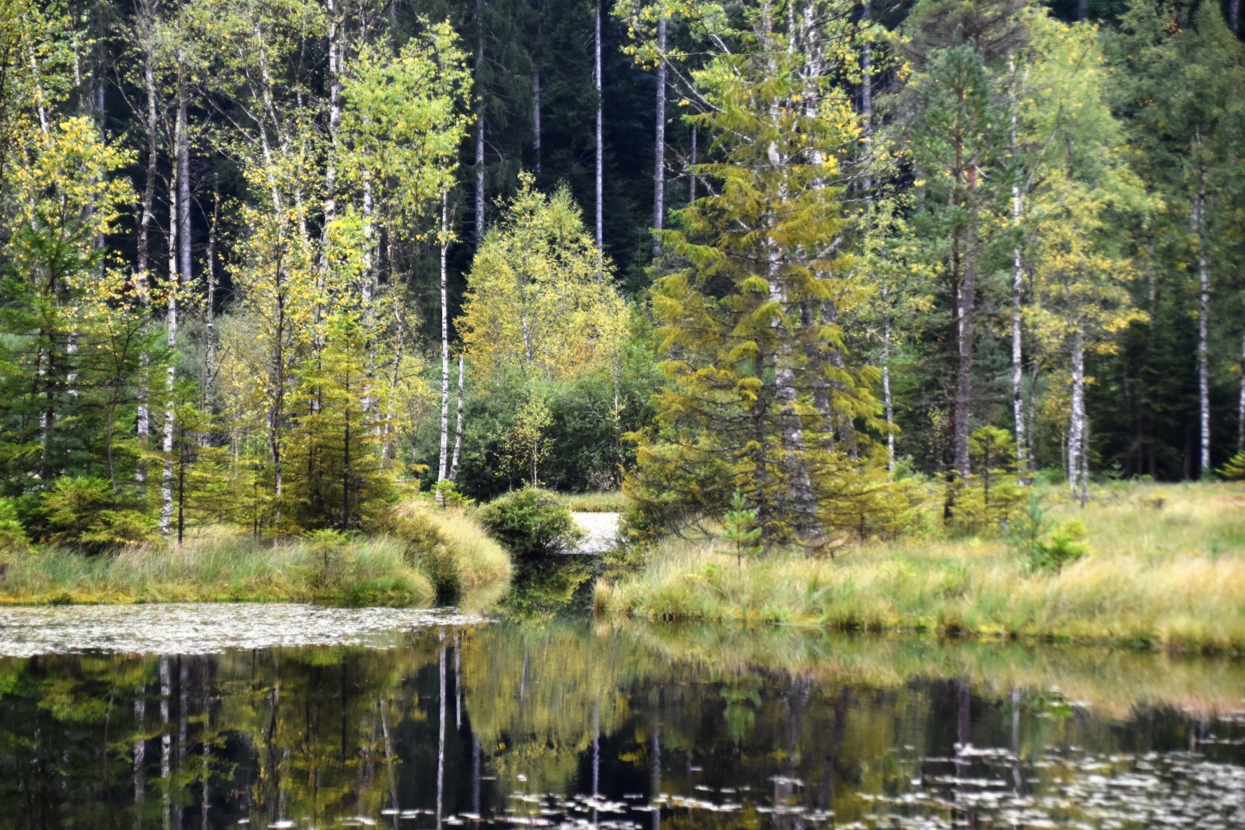
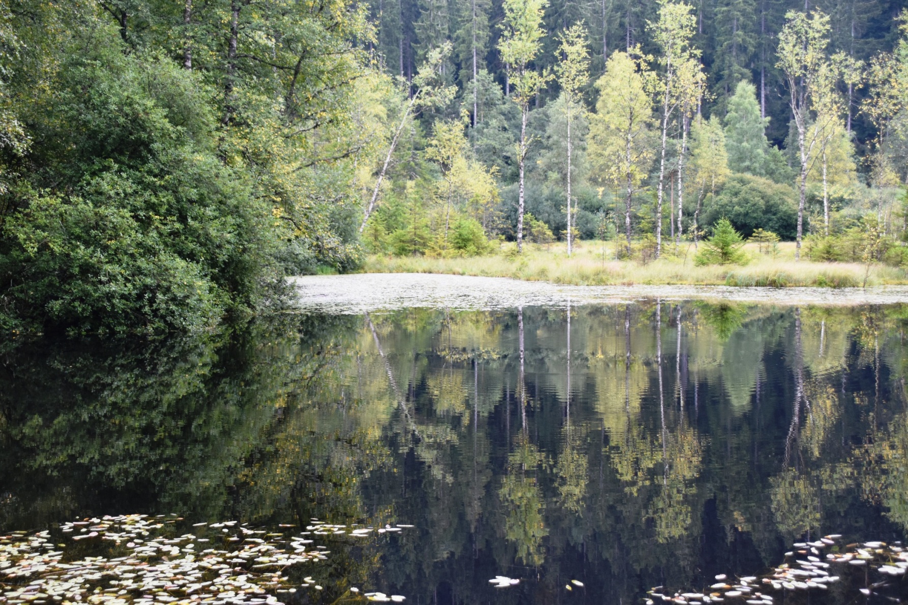
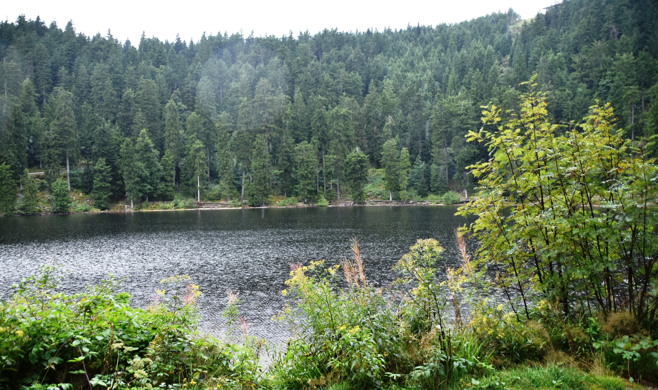
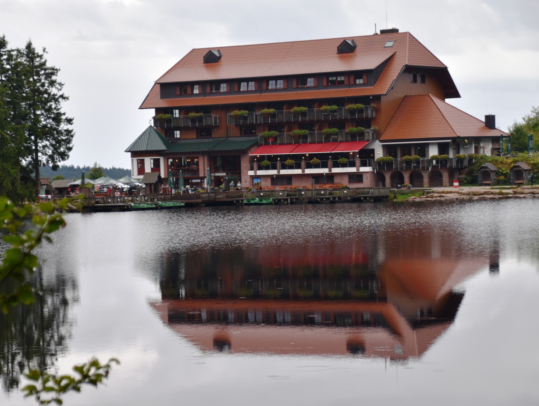
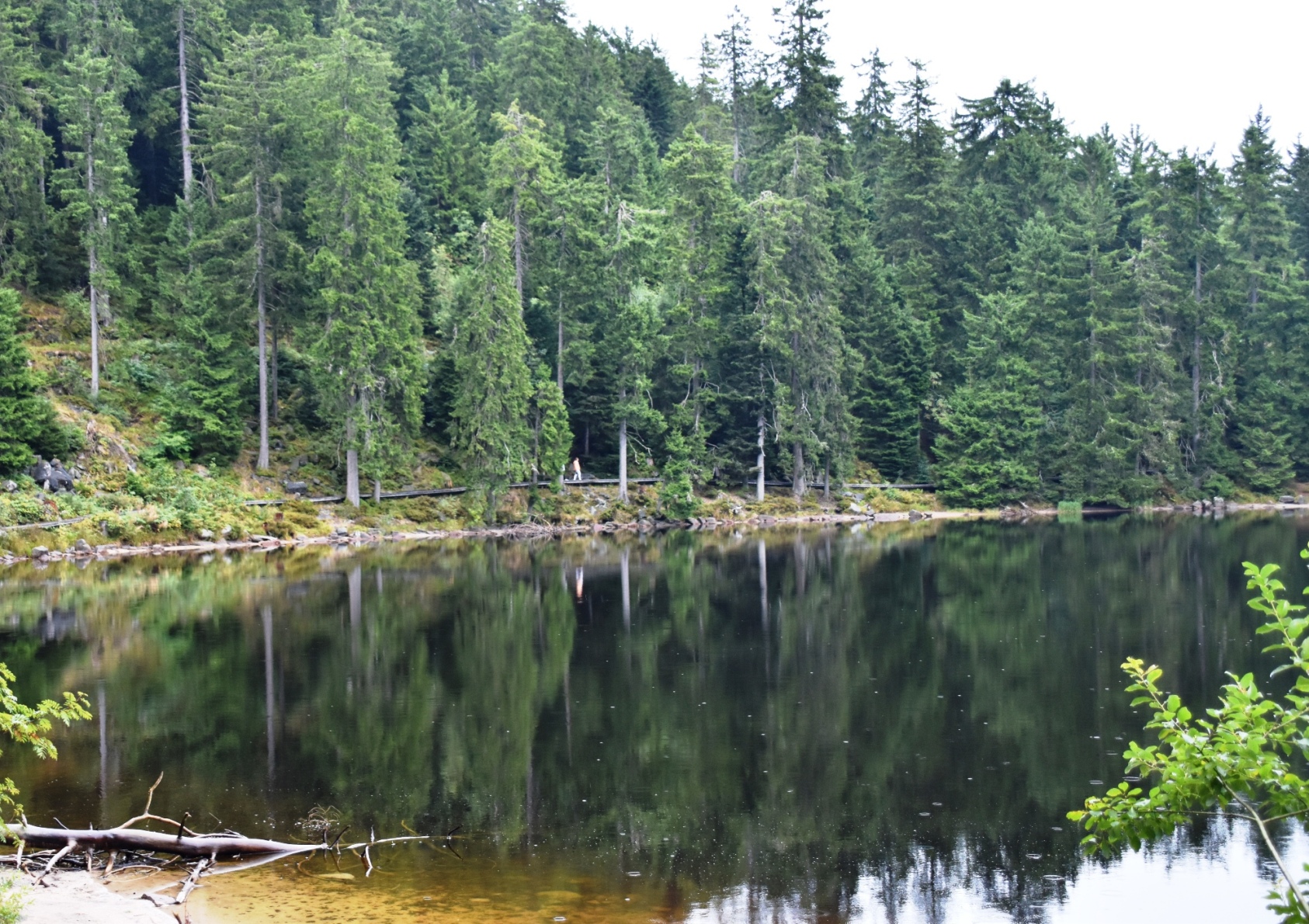
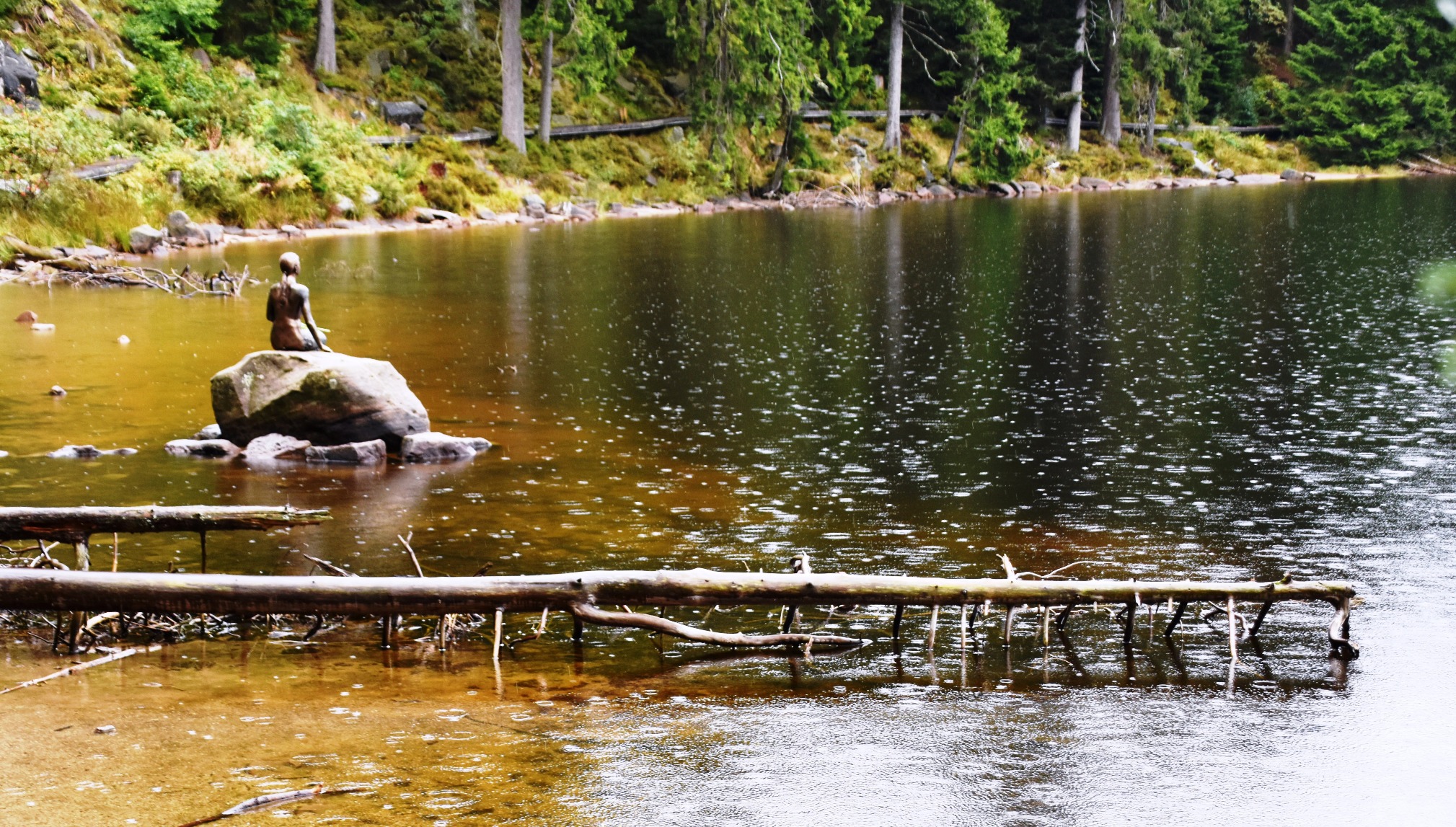
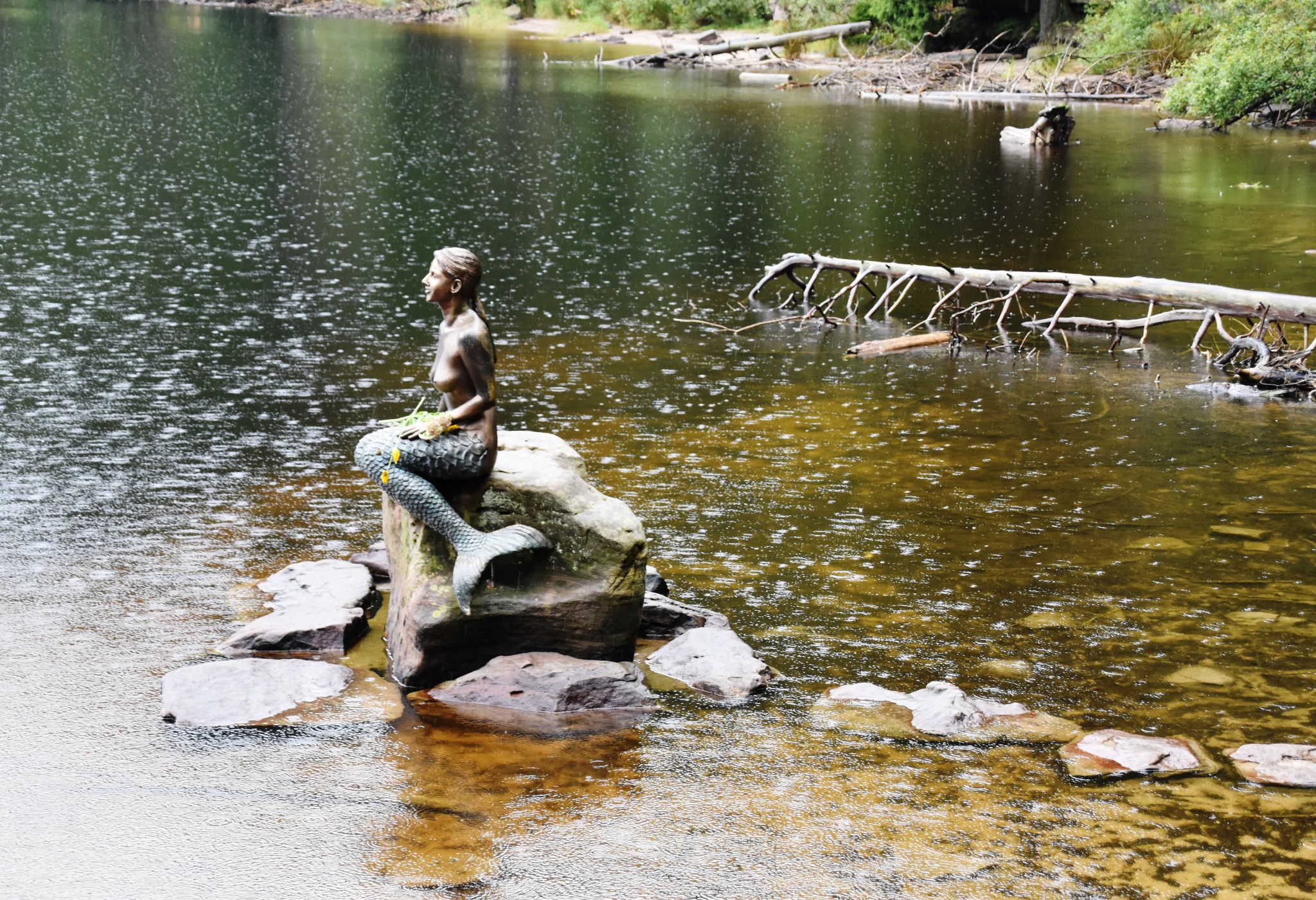
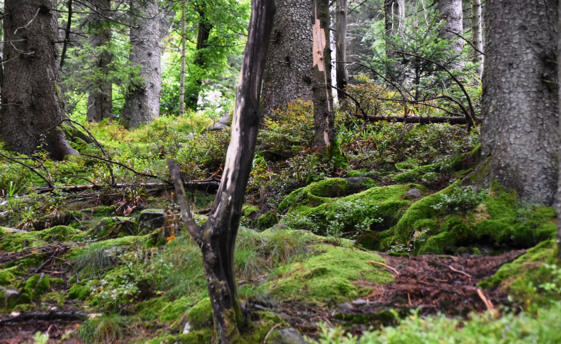
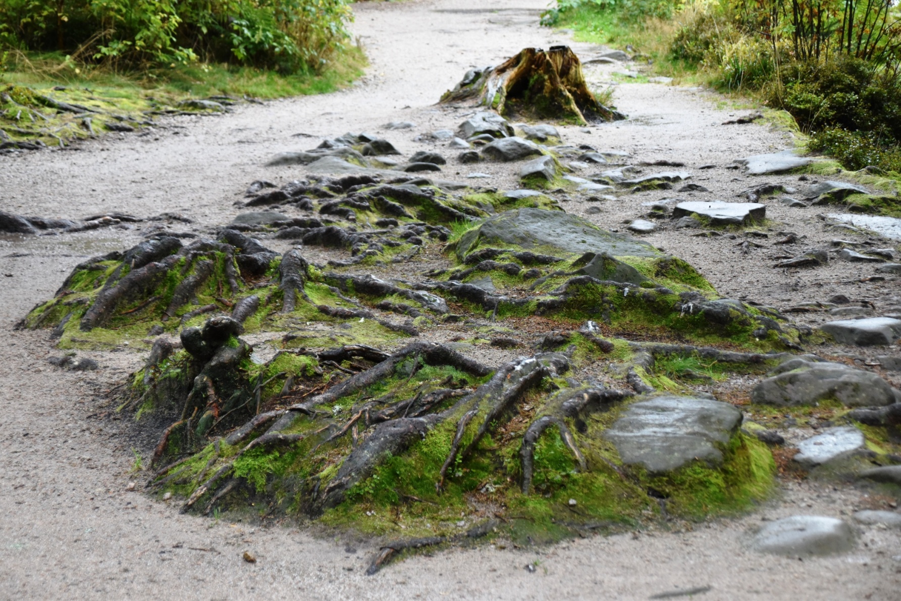
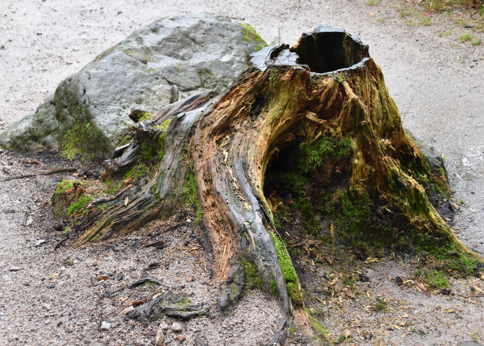
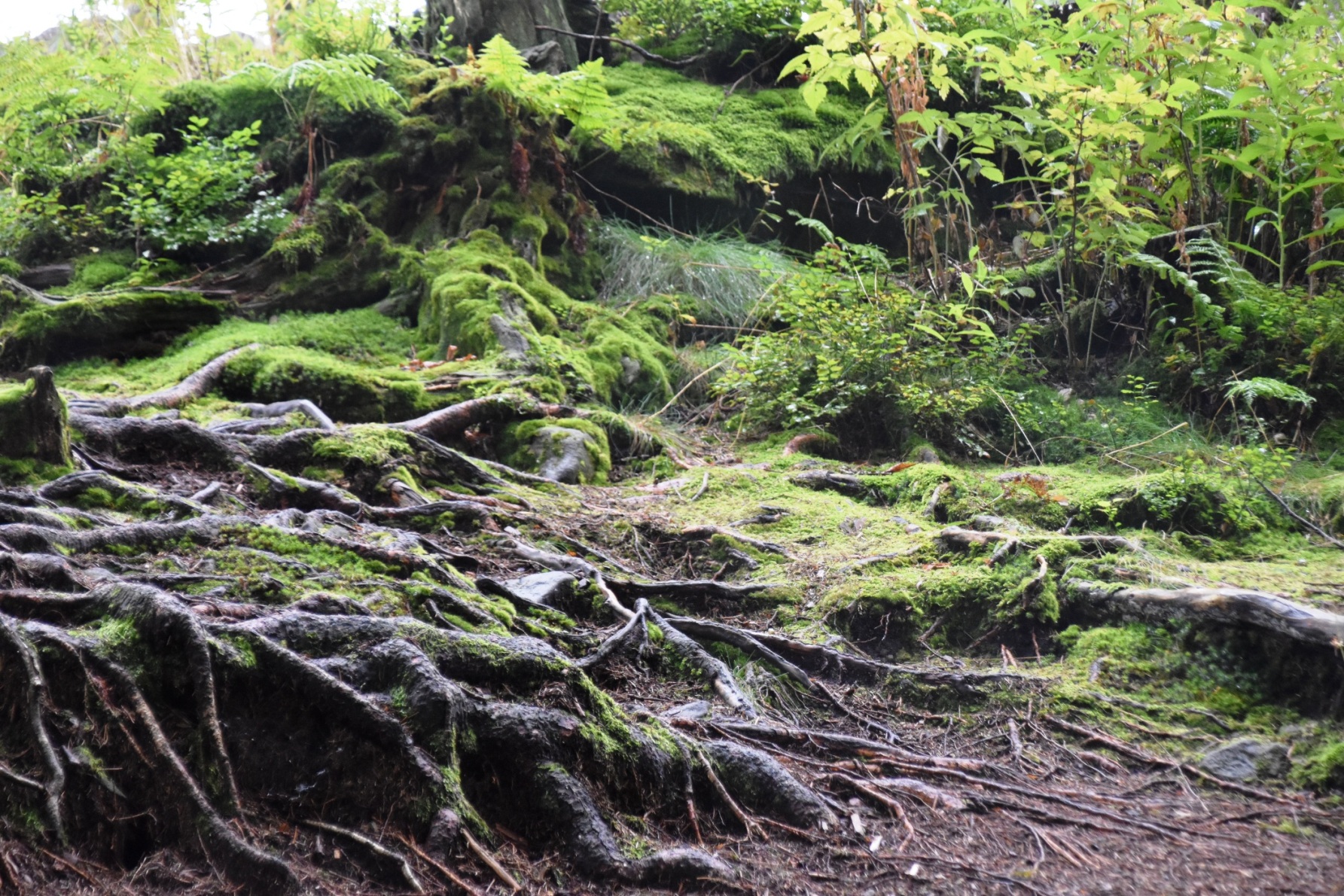
It’s a pity that the first view you have of Mummelsee is the huge shop and hotel; next is the pedal boats and the tacky “stick your head in the hole and pretend to be a mermaid for the photo”. But keep walking onto the sandy trail that hugs the lakeshore, and you soon find yourself in another world of moss-covered rocks and twisted tree roots. Look to the northern end of the lake and see clear reflections of pine trees. Thanks to the rain, everything is glistening; the pine needles sparkle as swollen raindrops clutch onto them.
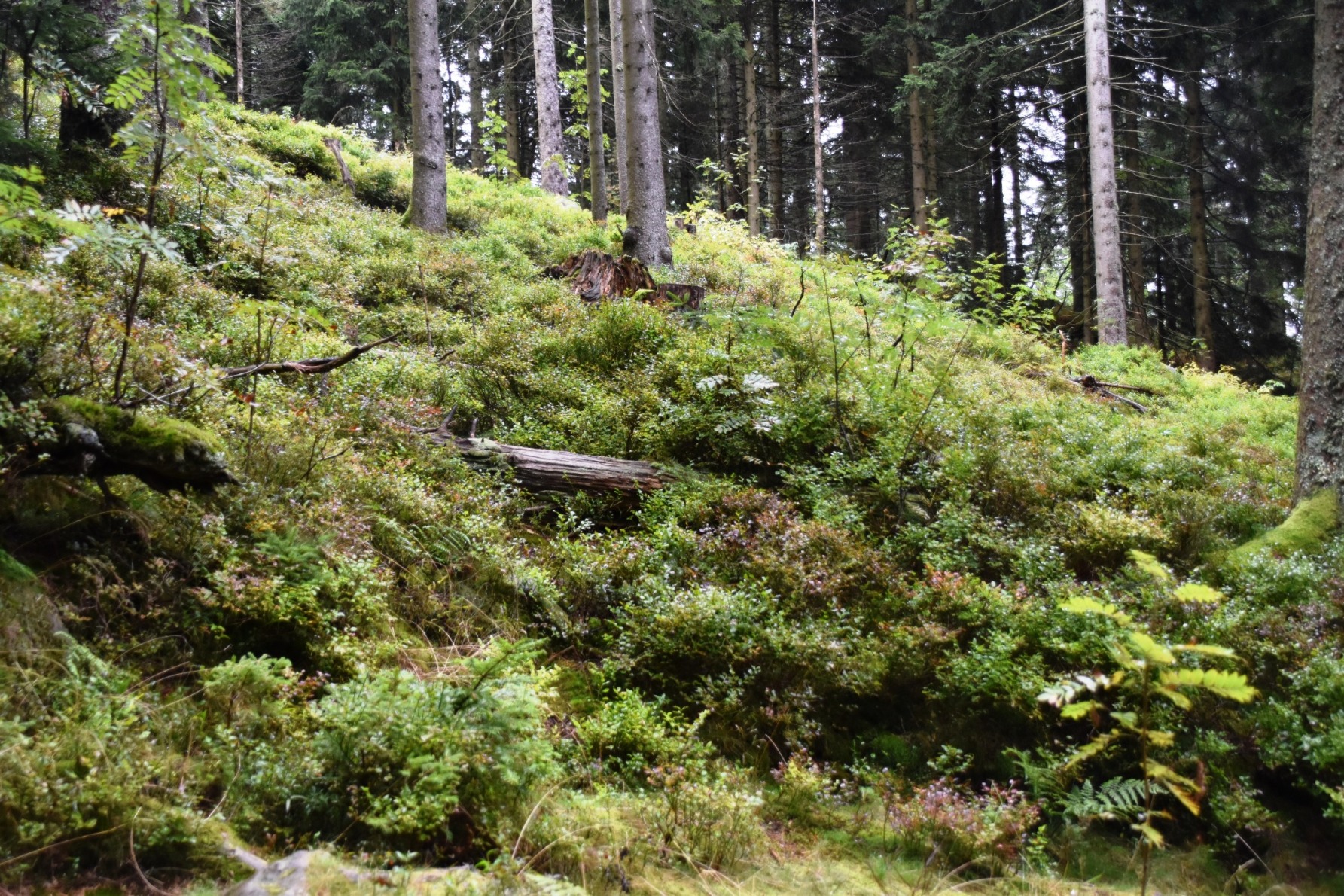
Only a few people are out walking; in fact for the second half of the loop, I have the whole circuit to myself. I meander along slowly, looking at everything and taking lots of photos. Most people just snap the classic “end of the lake” or the “hotel reflected in lake” shots. But there is so much more to see, if you look hard enough. It wasn’t hard to imagine this tiny mountain lake before the infrastructure was built; a place of legend and mystery.

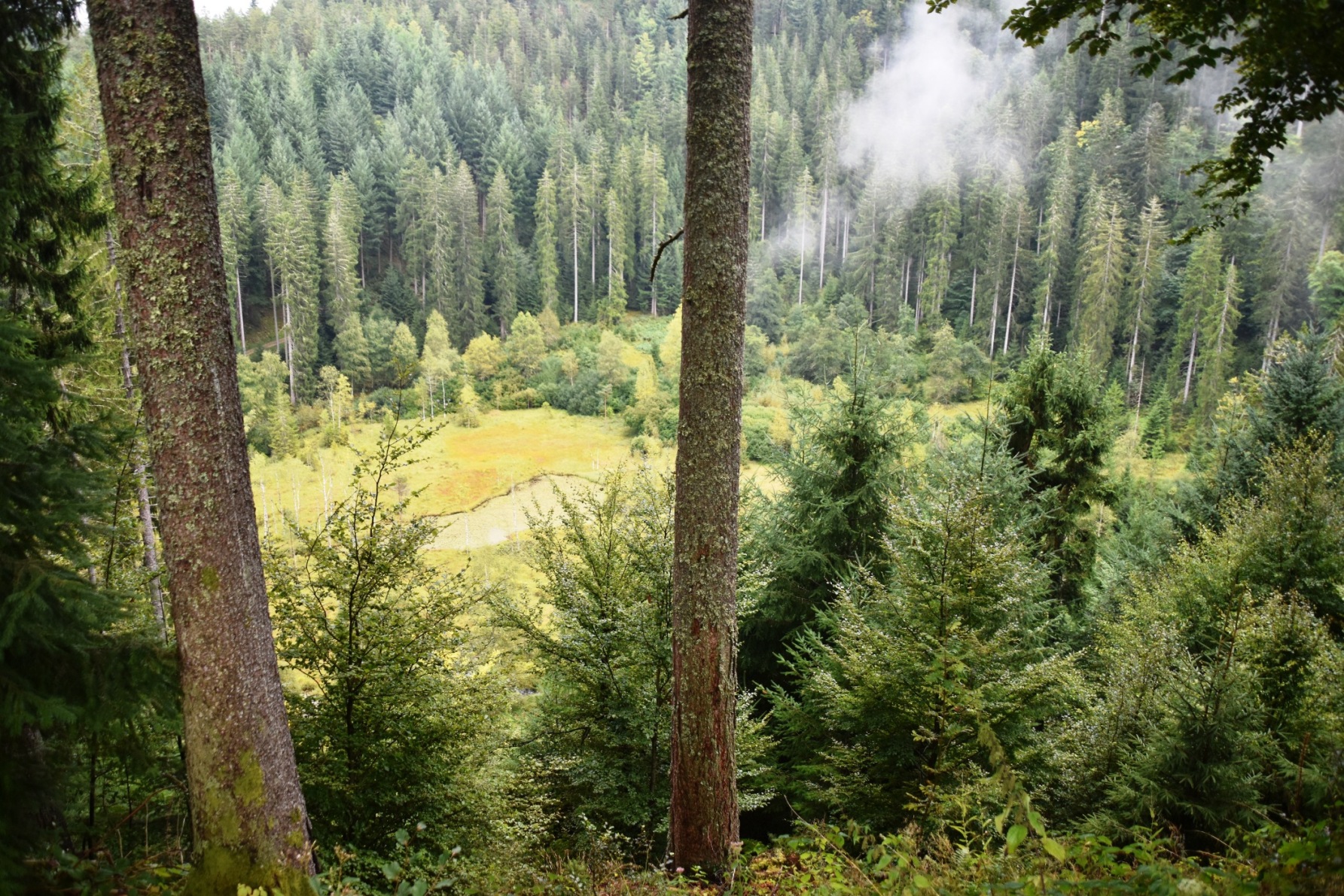
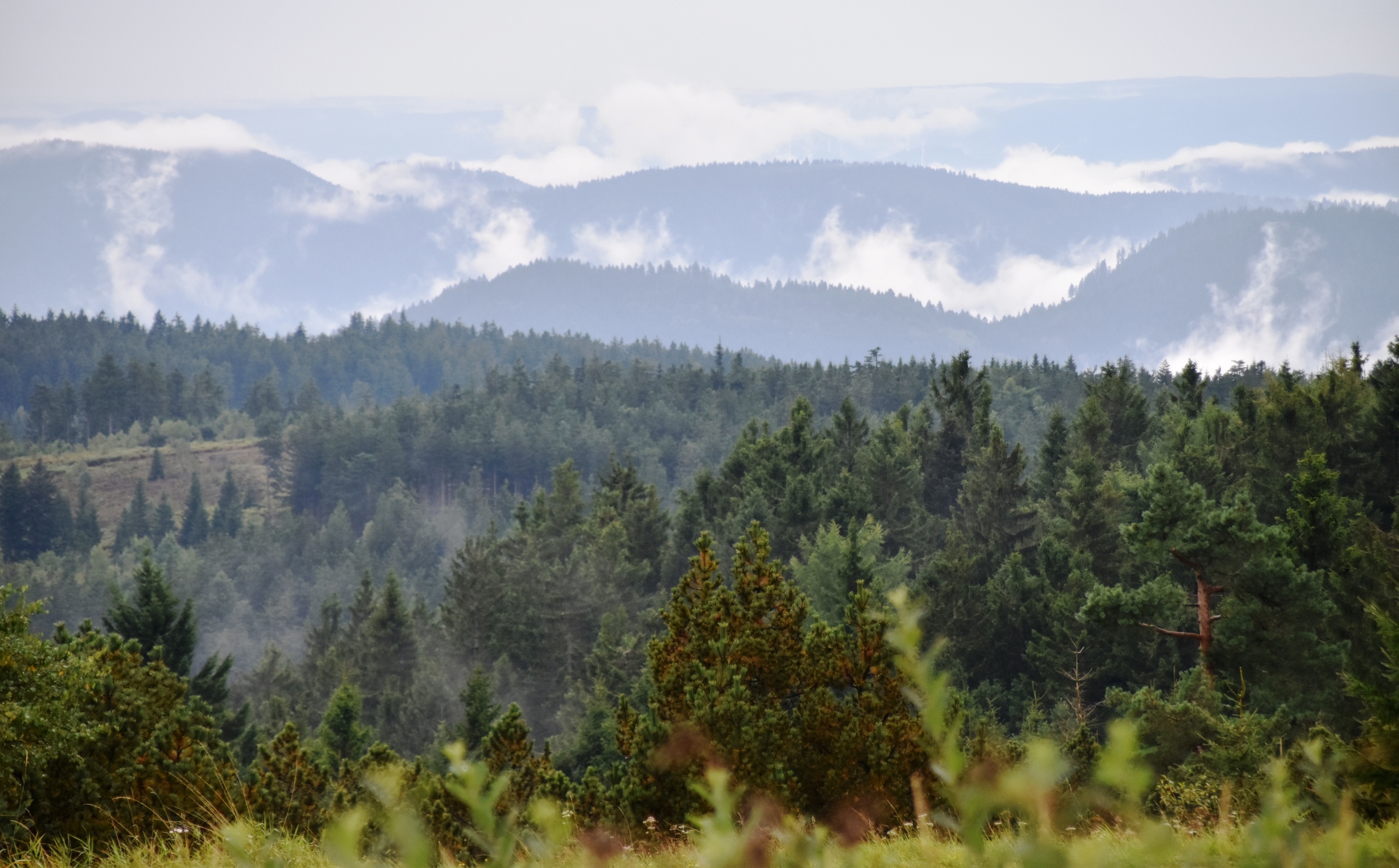
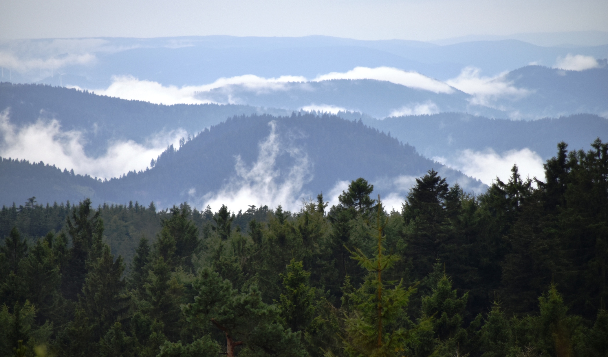
Back on the road, we pulled over at a parking spot to finish lunch. The road reminded us of some of the high altitude National Park roads we’ve ridden and driven in the US, in places like Colorado and Washington State. The clouds were starting to lift, and the hills were steaming with rising mist. We seemed to have the road to ourselves.
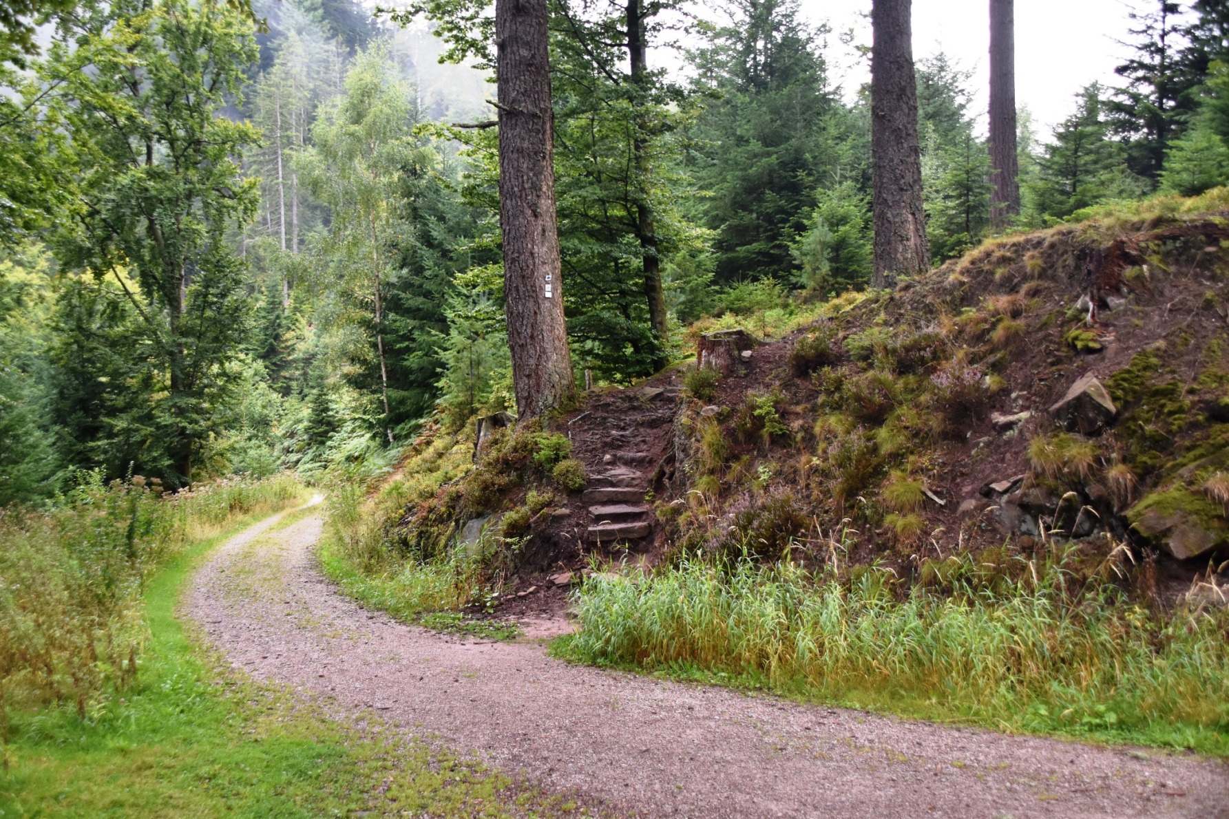
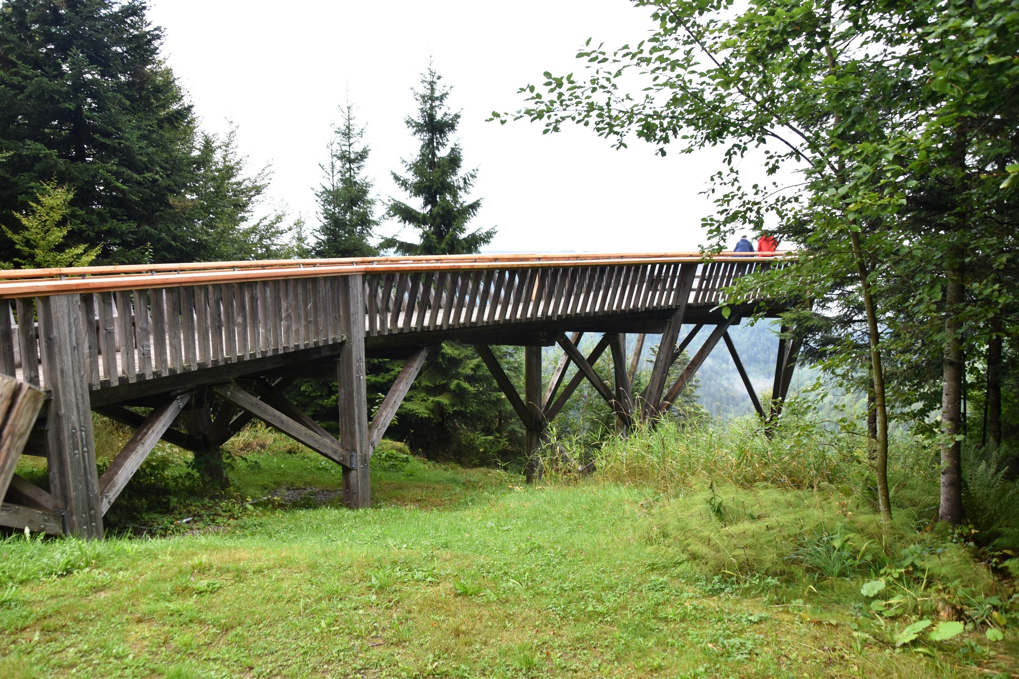
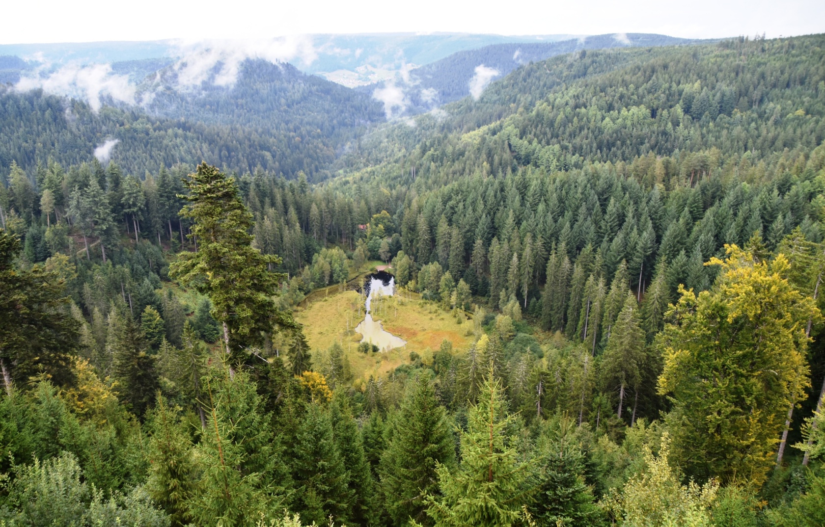
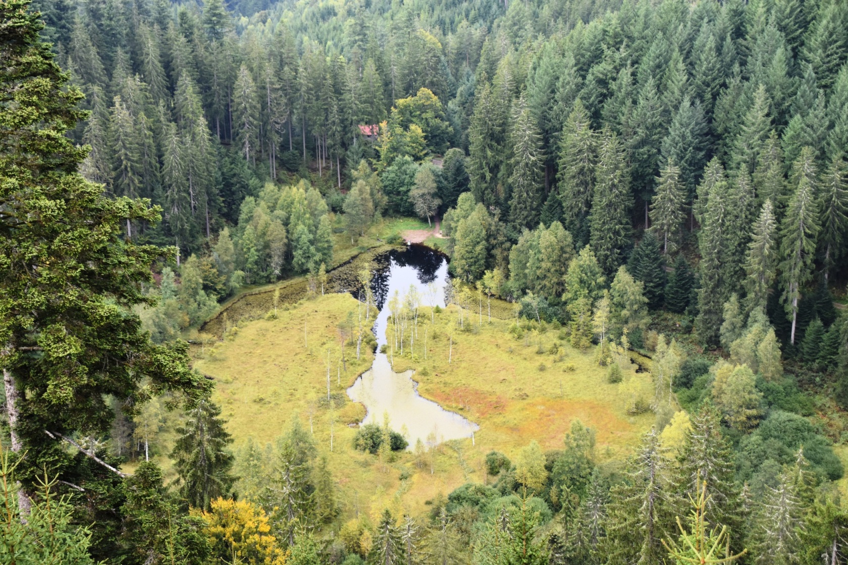
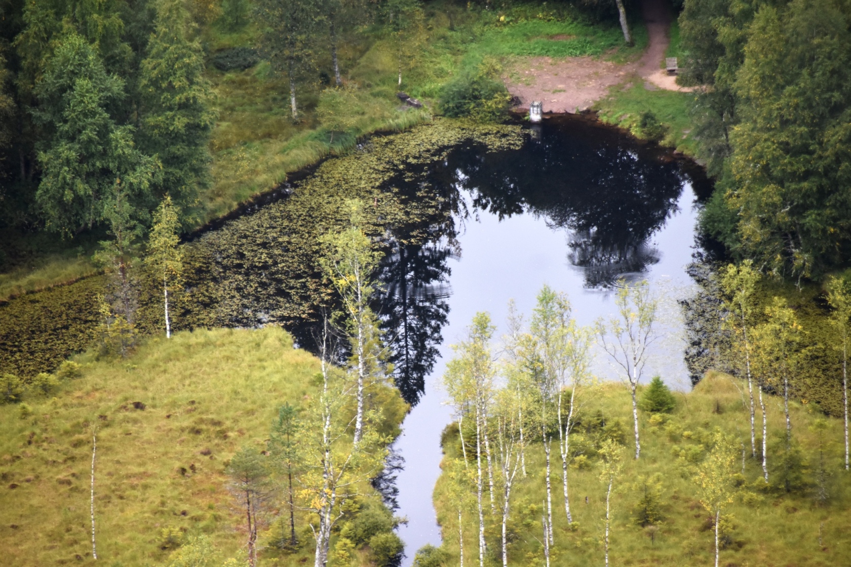
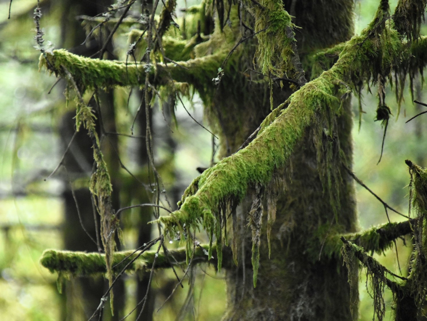
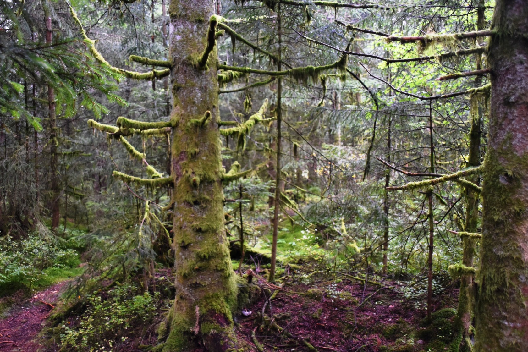
At Kniebis, we turned in to our final stop, the Elbachsee viewing platform. This overlooks a cirque finger lake, far below. Ian spotted a trail leading steeply down, and headed off, while I waited at the top. It took him twice as long to get down to the lake, as it did to get back up! By the time he returned, the views were much clearer as the mist finally lifted – it was 5pm by now. We walked back to the car through what I think of as goblin forest – full of places where goblins and other woodland creatures could hide (the lower slopes of Mt Taranaki is clad in goblin forest). It was time for the return drive home, this time with some sunshine.