Our tiny apartment has no windows, other than a skylight – more on that later. We have learned to judge the weather by how wet the skylight is, and how much light it is letting in (the heavier the mist, the darker it is). This morning the clouds didn’t seem to be sitting quite so low. We set out for Torshavn, hoping that as we drove east, things would improve further.
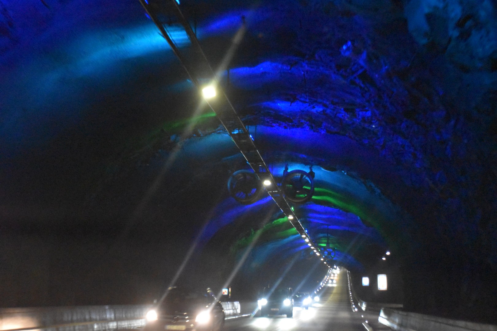
Each day we drive through one of the four subsea tunnels. These are impressive works of engineering, which have made a massive difference to mobility for residents and visitors alike. There are plenty of land tunnels as well, and every day we do several of them. It’s a strange feeling knowing you are driving under the North Atlantic.
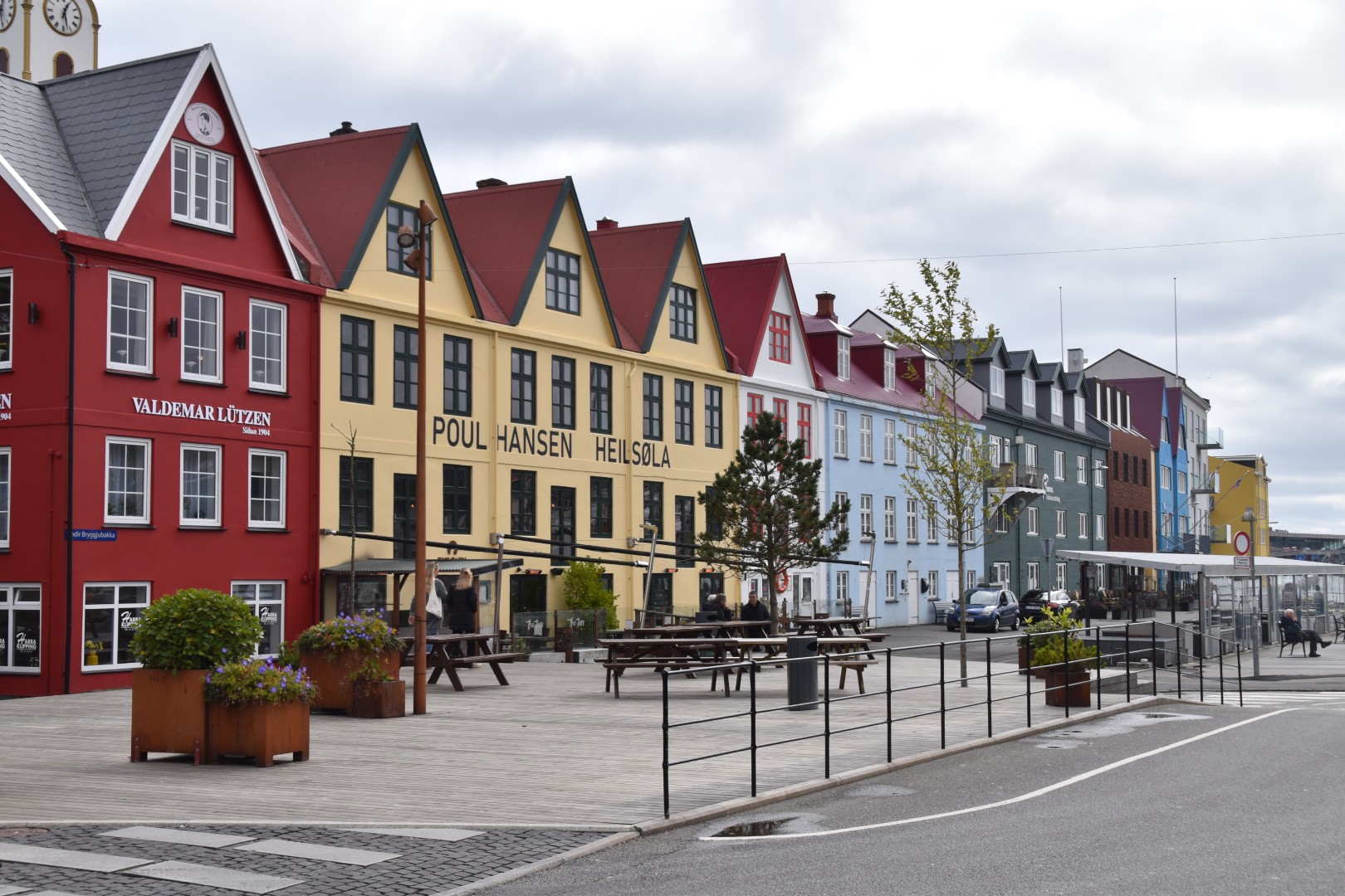
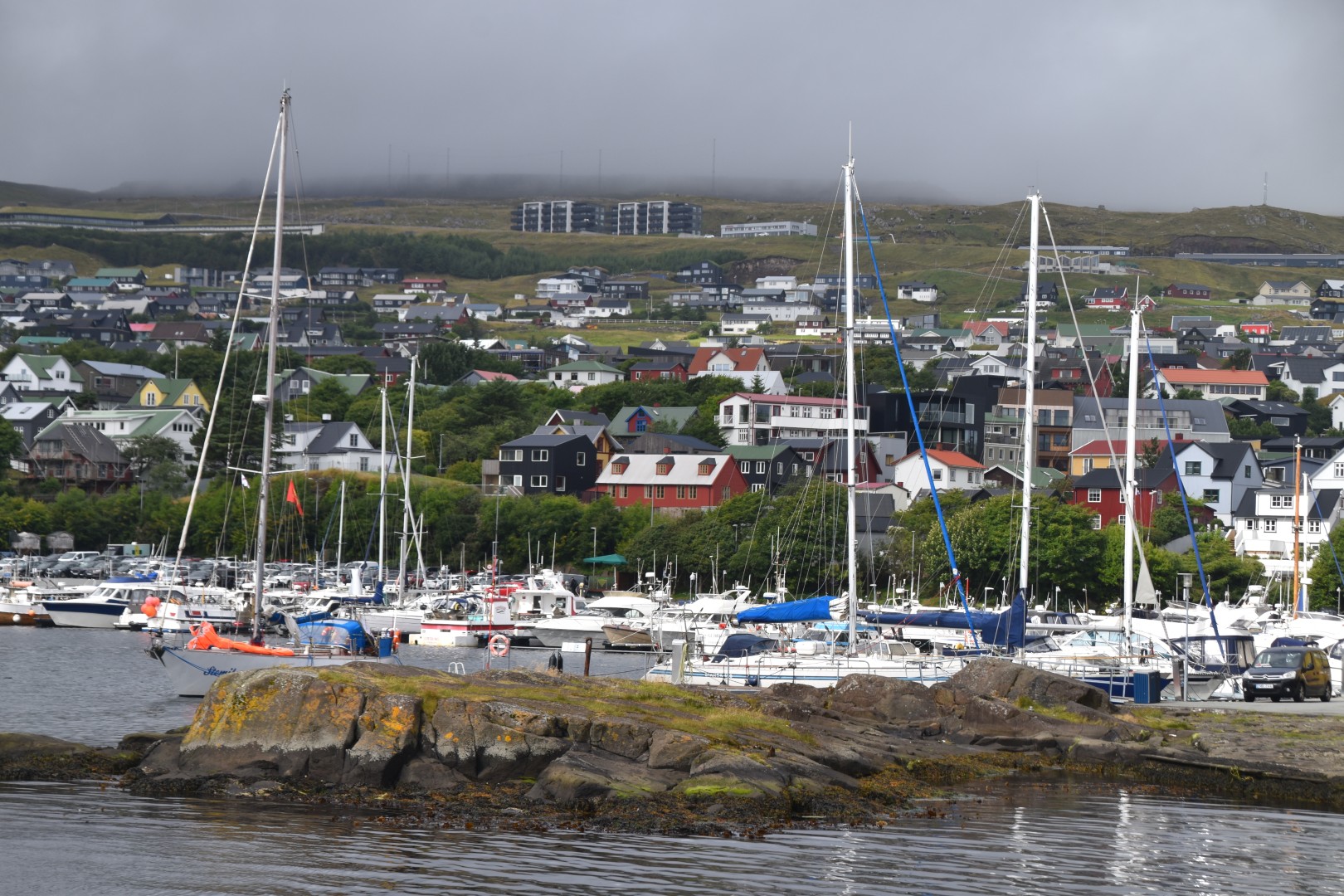
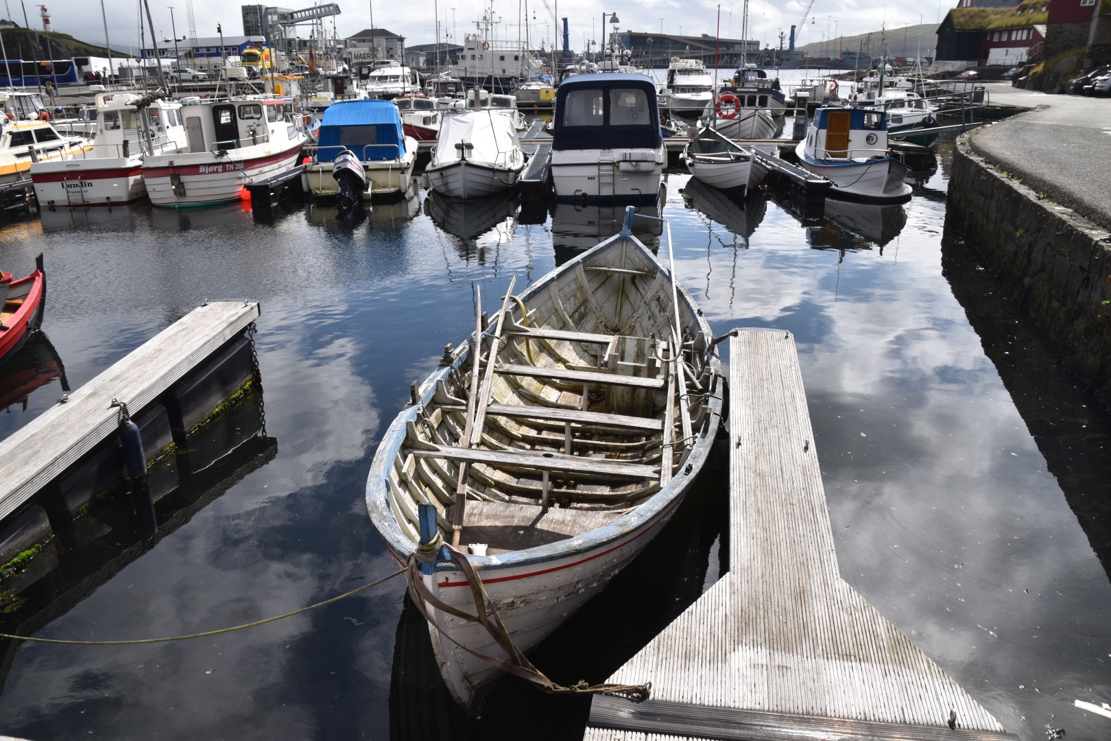
The plan for Torshavn – the capital city – was to take a ferry across to Nolsoy, the nearest island. It is home to puffins and stormy petrels, and we were hoping to see some. But the only parking we could find was for 2 hours – not nearly long enough. So we went for a walk around the old town. The visitor centre helpfully showed us where you could park all day for the ferry, but by now we’d missed it, and the next one wasn’t for another 4 hours.
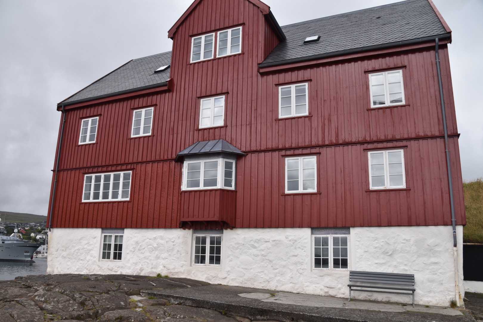
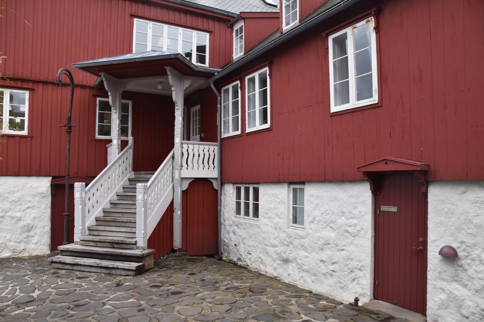
Instead, we wandered around Tinganes, which is home to the Faroese Parliament and government offices, and a couple of embassies. You would have no idea that these lovely timber buildings, perched on a rocky peninsula, are the seat of government.
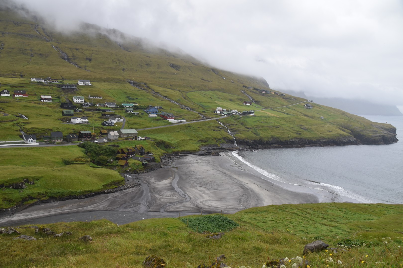
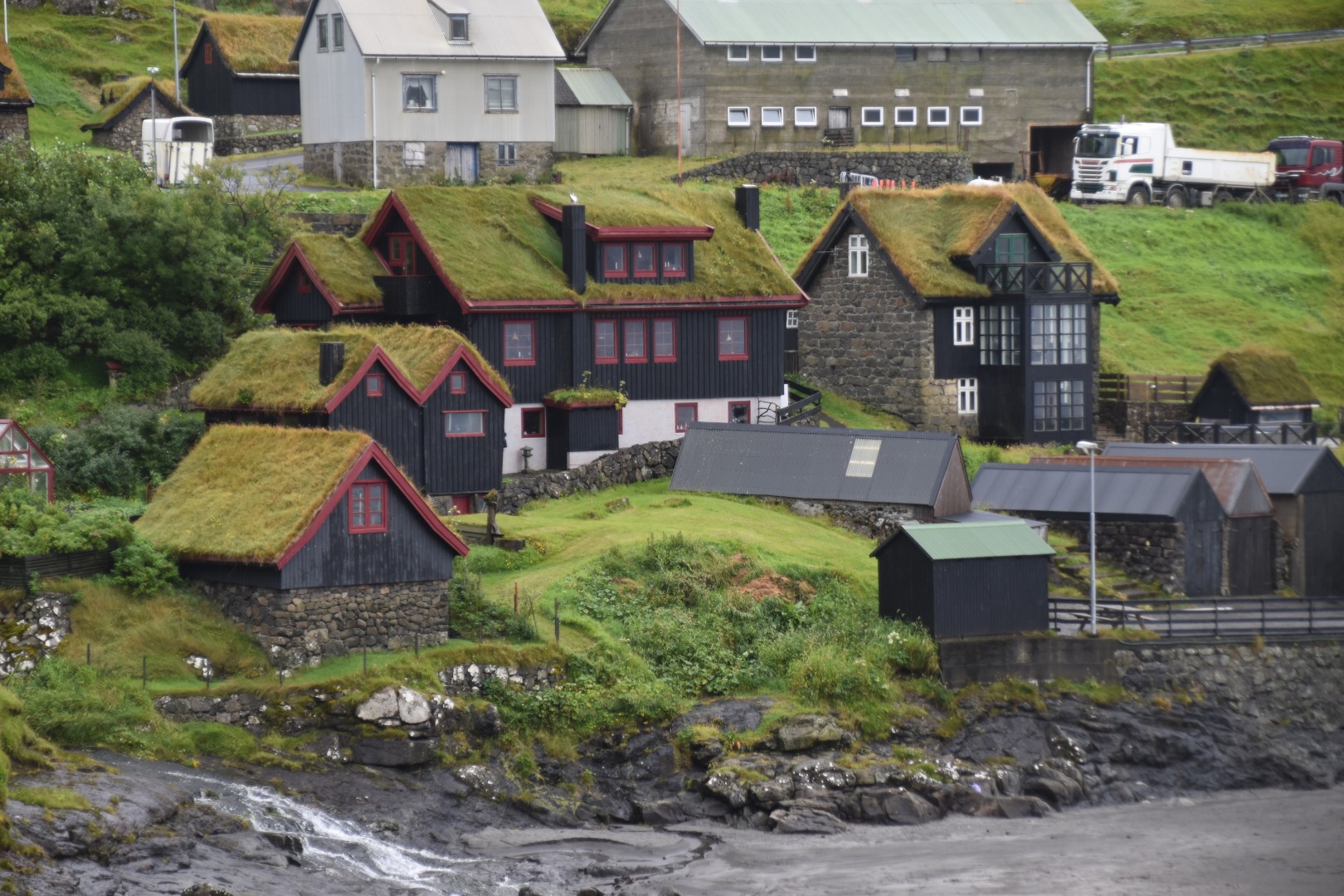
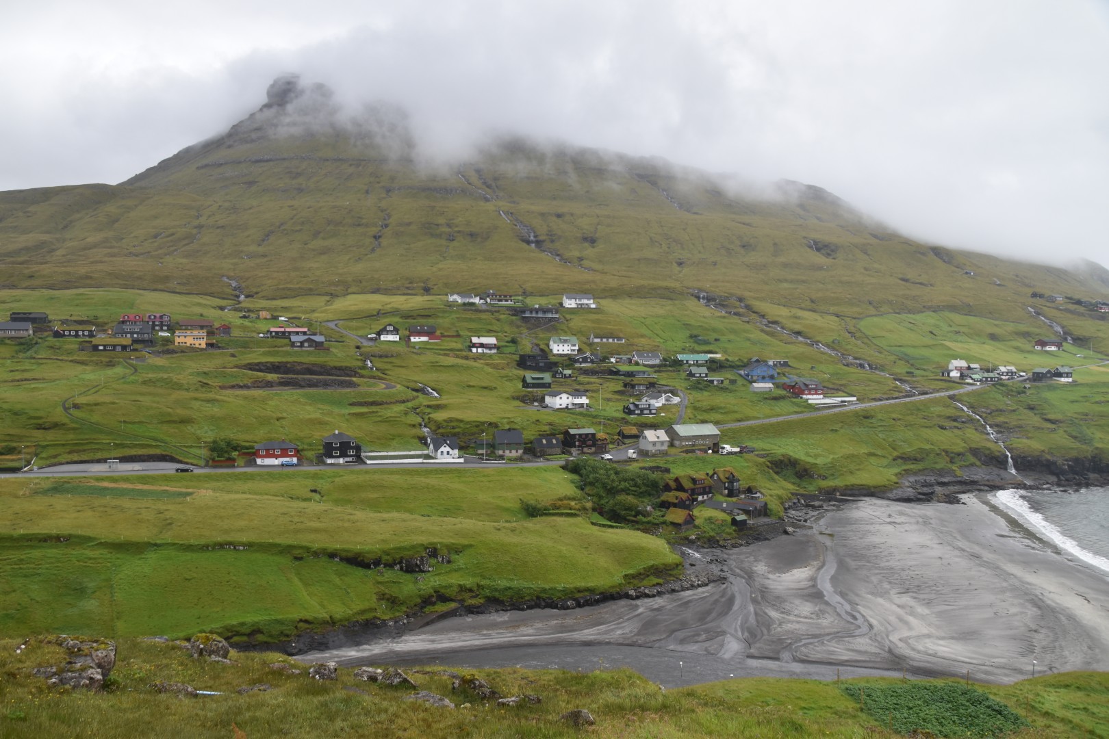
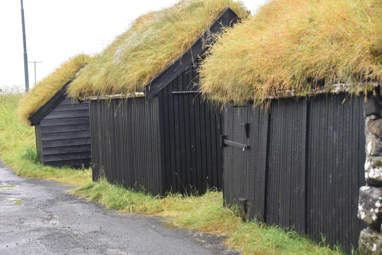
Heading back towards Midvagur, we turned up the road to Vestmanna. The beauty of driving here is that you can just head up any road you come across, and you are sure to find something worth stopping for. Our first stop was overlooking a village above a black sand beach (although the sand was more of a pewter). It was typical of everywhere we’ve been – picturesque setting on a hillside beside some water; grass roofed houses; waterfall cascading down from the mountainside.
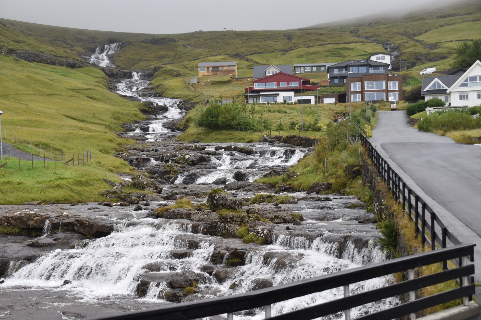
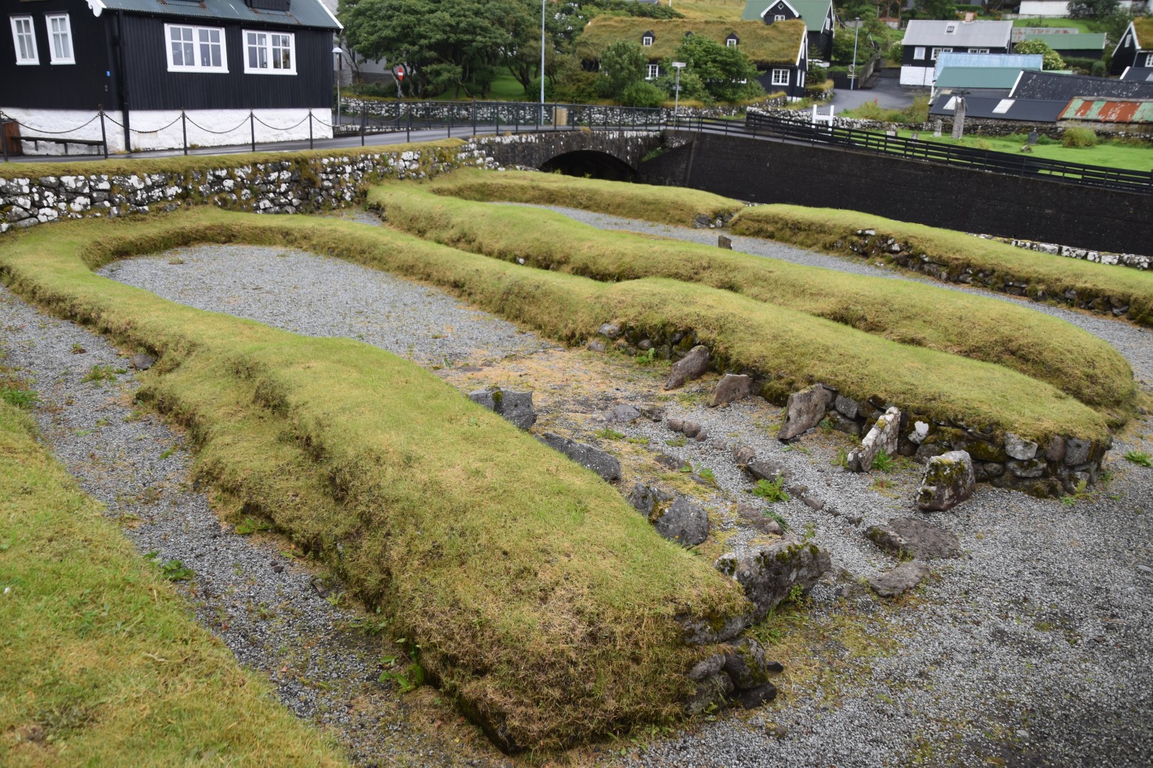
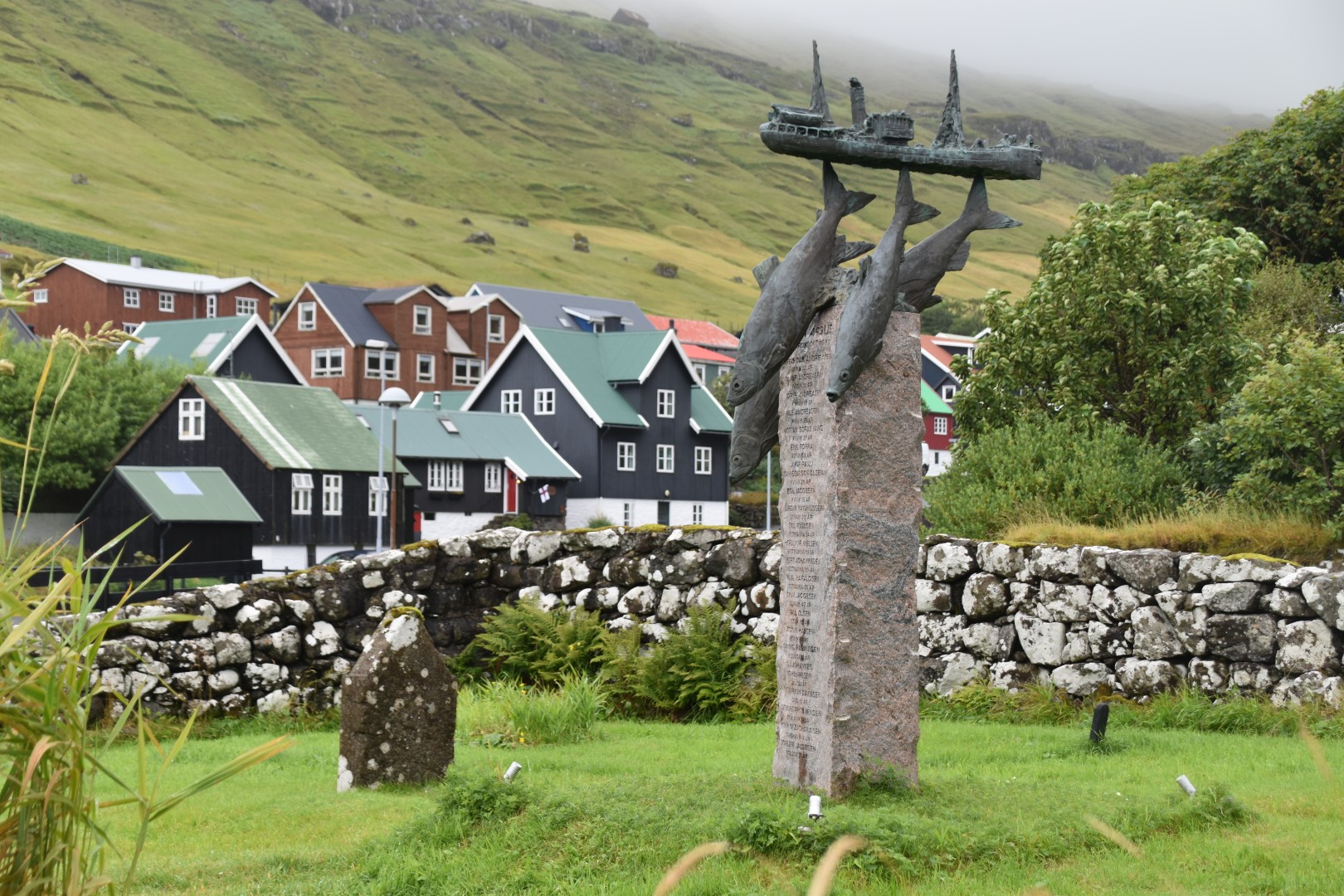
Continuing further uphill, we took a wrong turn, and found ourselves in the village of Kvalvik. We thought we would make a quick photo stop, and ended up exploring much of the village. This one has a waterfall tumbling down from the head of the gully way above the town, right through the centre, and under some rustic bridges, before emptying out into the sea. Just above one of the bridges, there is a swimming hole for the local kids. We wondered if anyone was ever brave enough to take a dip. At the bottom of the hill, we came across a Viking archaeological site, and a tiny cemetery with a memorial to fishermen lost at sea – at least that’s how we interpreted the statue. Faroese cemeteries feature headstones in much more random shapes and positions – curves and even heart shapes. We returned to the car, marvelling that there was not another tourist in sight.
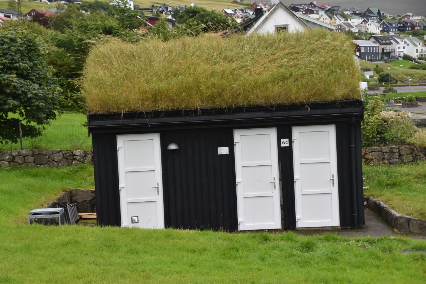
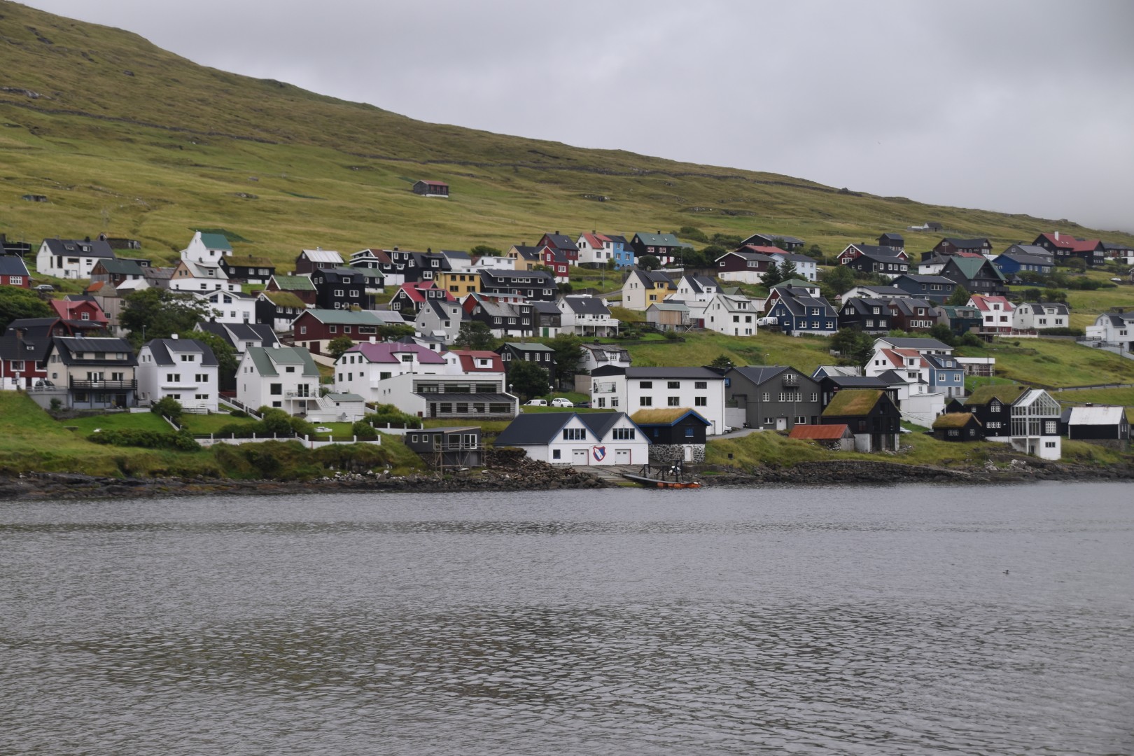
Back in Midvagur, we went for a walk around the inlet on which the village is situated. I admired the grass roofed public toilets (among other things). Ian climbed the hill above the town, but the rain had returned, so he called it quits for the day.
And the skylight? On the wall, next to the QR code for wifi access, there is a poster. It shows a picture of a thick blue rope under the sink; an anchor point bolted into the ceiling; the open skylight; and the rope trailing out of the skylight, down the roof. This is the “emergency evacuation plan”. I kid you not. They do things a little differently here.