This morning was the sunniest we’ve had for a while – time for Ian to hit the trail again, with another 20-ish km day planned. I dropped him off near Hayfield, and he found the Pennine Bridleway, a good path which took him straight to New Mills.
In the meantime, I’d driven on to Whaley Bridge and was parked at Tesco – free parking and toilets, what’s not to like? I’d read somewhere that you could walk from here to Bugsworth Basin, and Google showed me a walking trail that largely followed the Peak Forest Tramway Trail. Problem was, there were no signs, and Google didn’t really know how to get me over the canal or under the A6 – both of which I needed to achieve. After several false starts leading to dead ends, I put the phone away and followed my nose – and found myself on the right towpath.
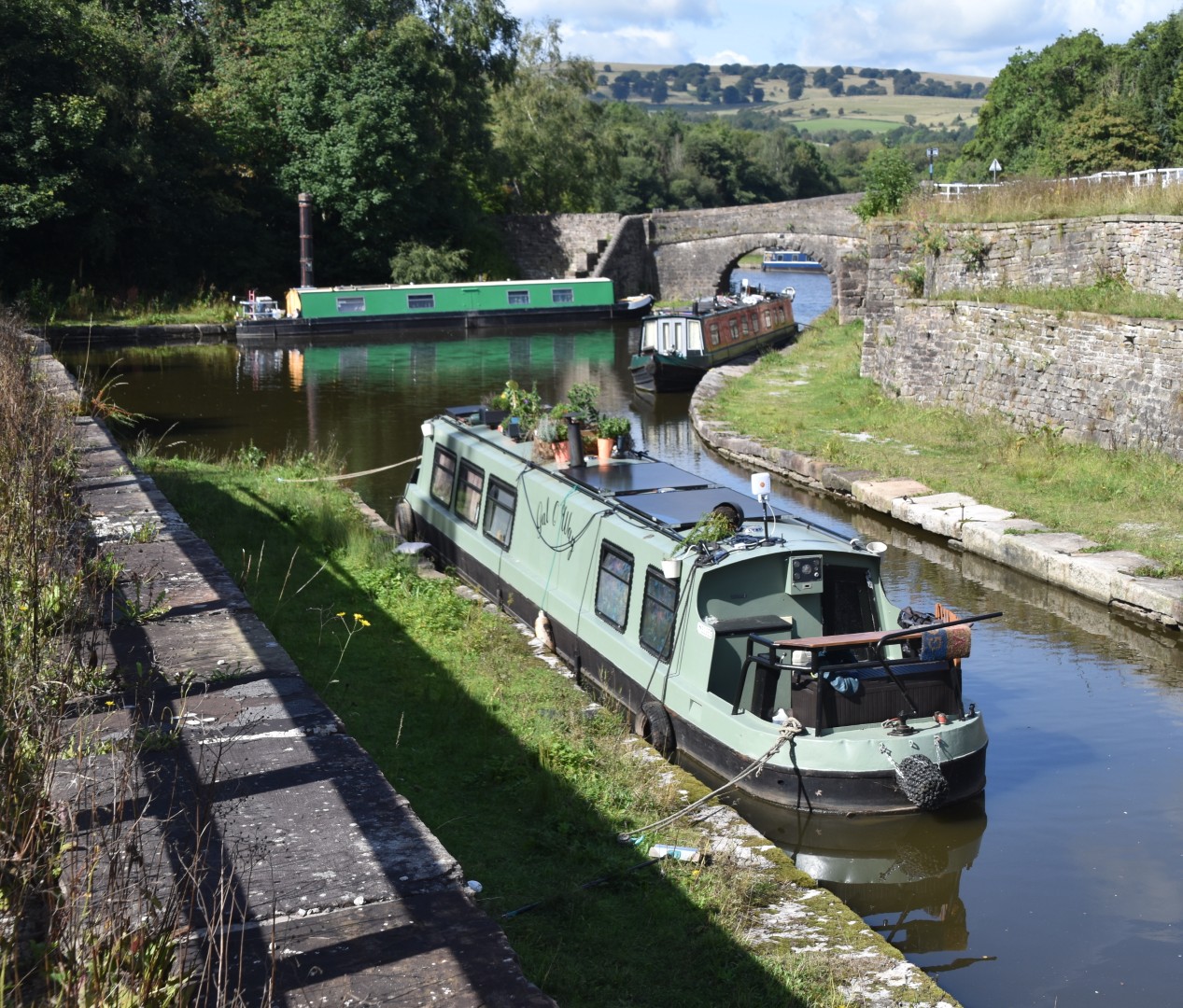
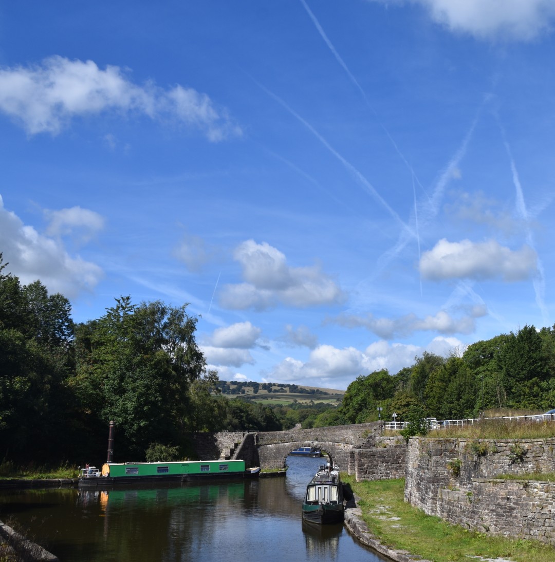
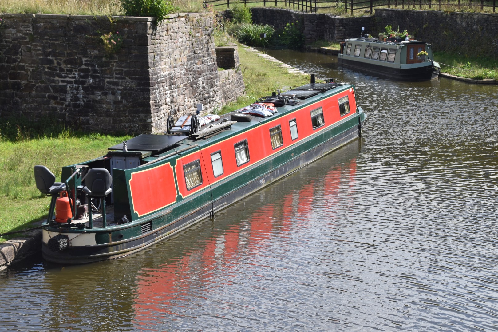
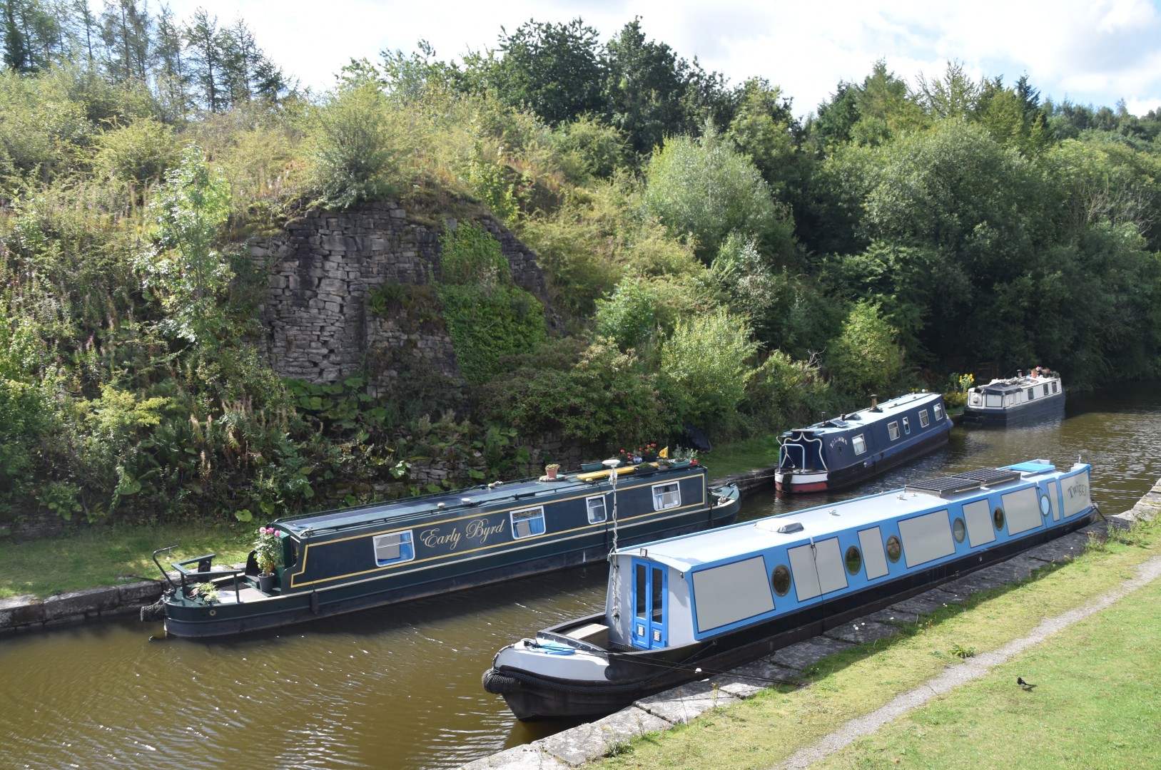
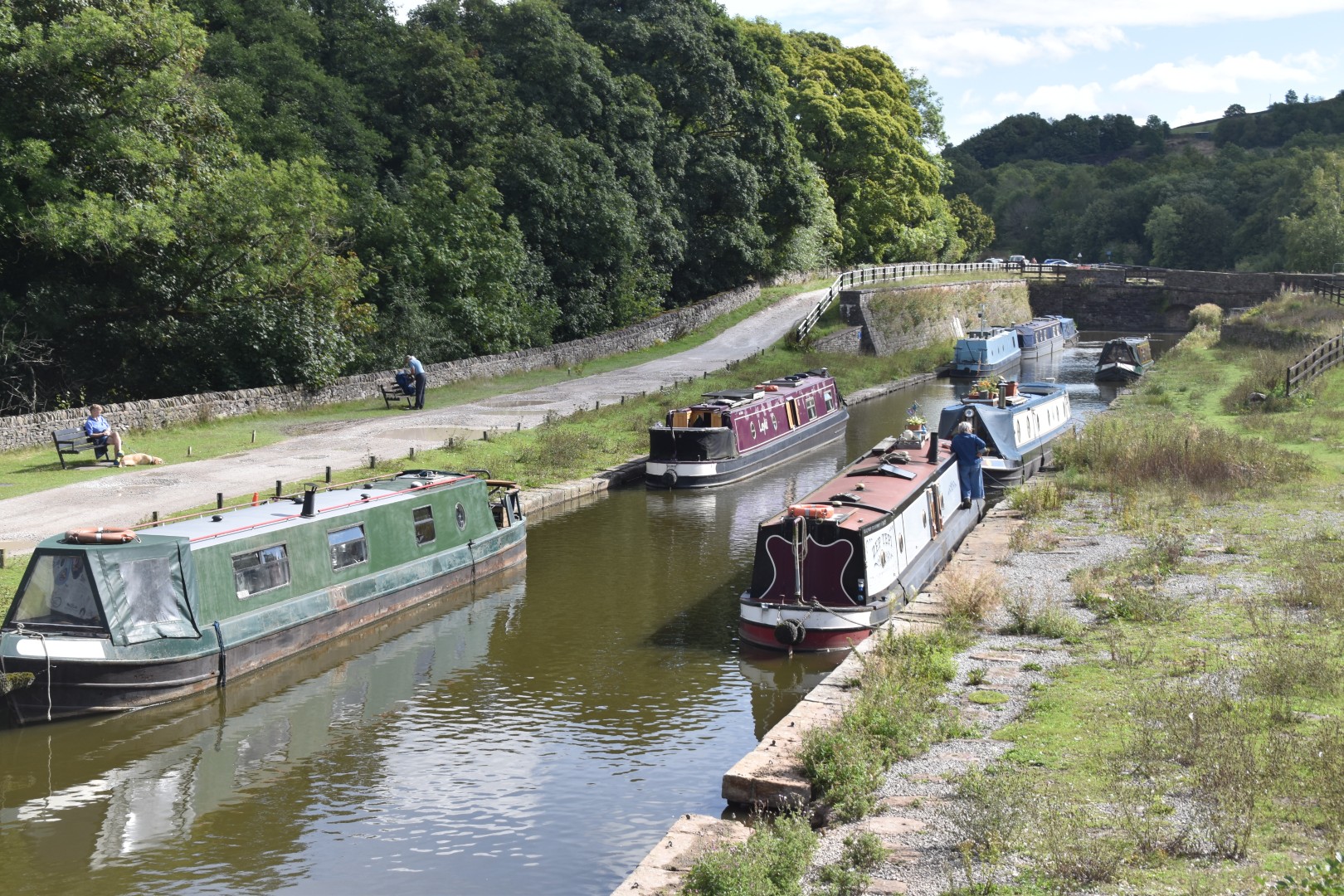
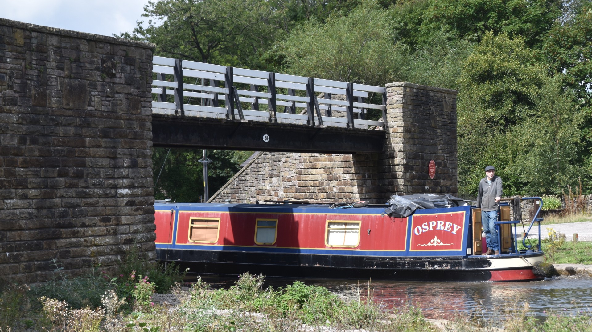
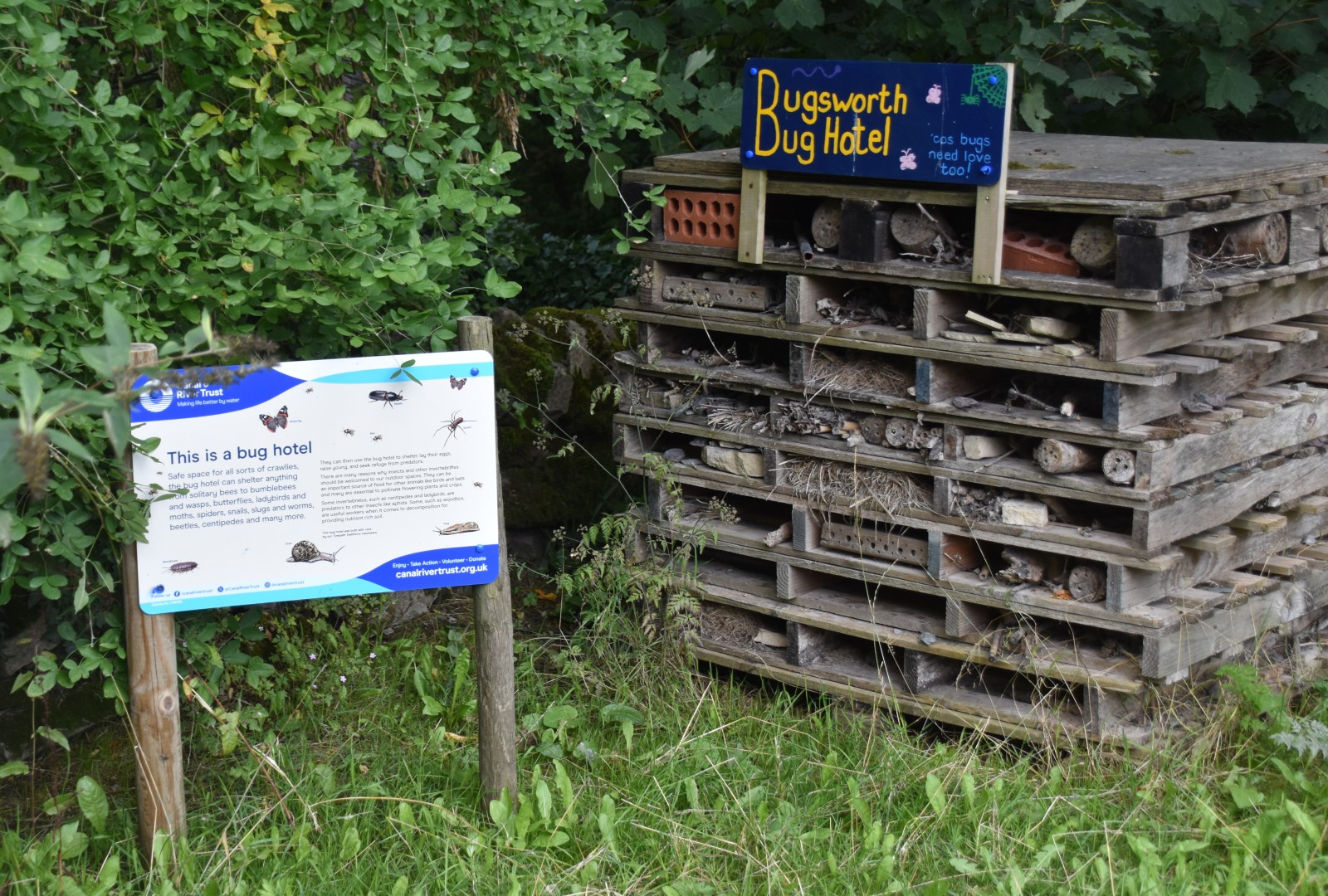
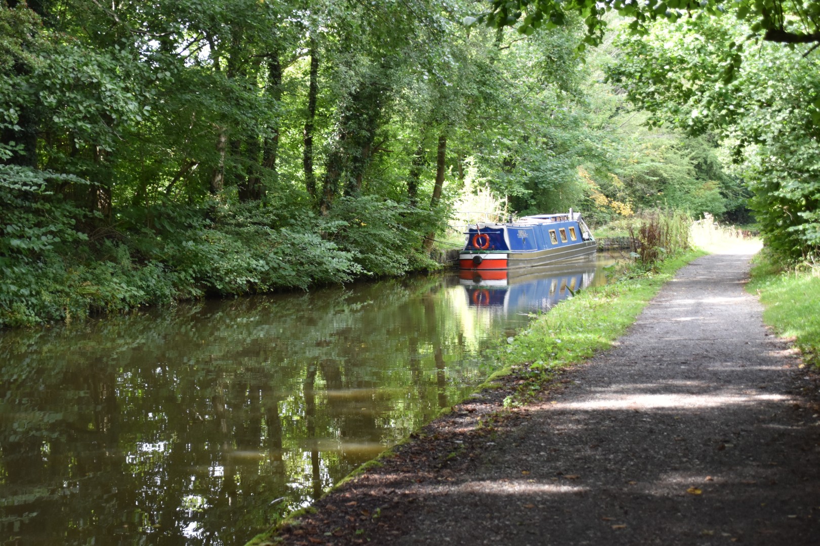
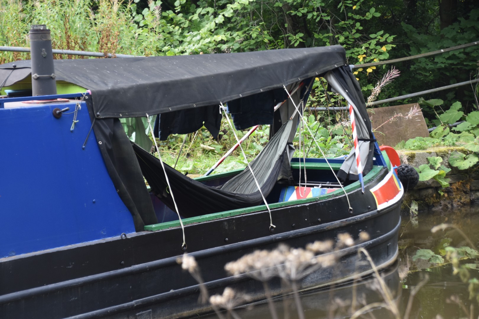
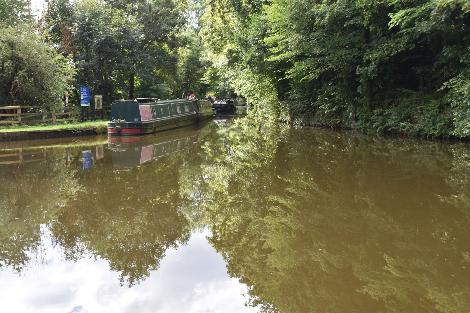
Bugsworth Basin was once a very busy transport hub, being the point where trams laden with limestone met the boats which plied the canals. The canal was derelict until about 10 years ago, when restoration was completed. Today it’s a very pleasant and interesting walk, with quite a few narrowboats moored in various parts of the basin. The only boat I saw on the move was the Osprey, though I did see one owner sanding his hull, and another attending to the ubiquitous pot plants on top. There were picnic tables a-plenty, where the Captain and I stopped for a sandwich in the sunshine.

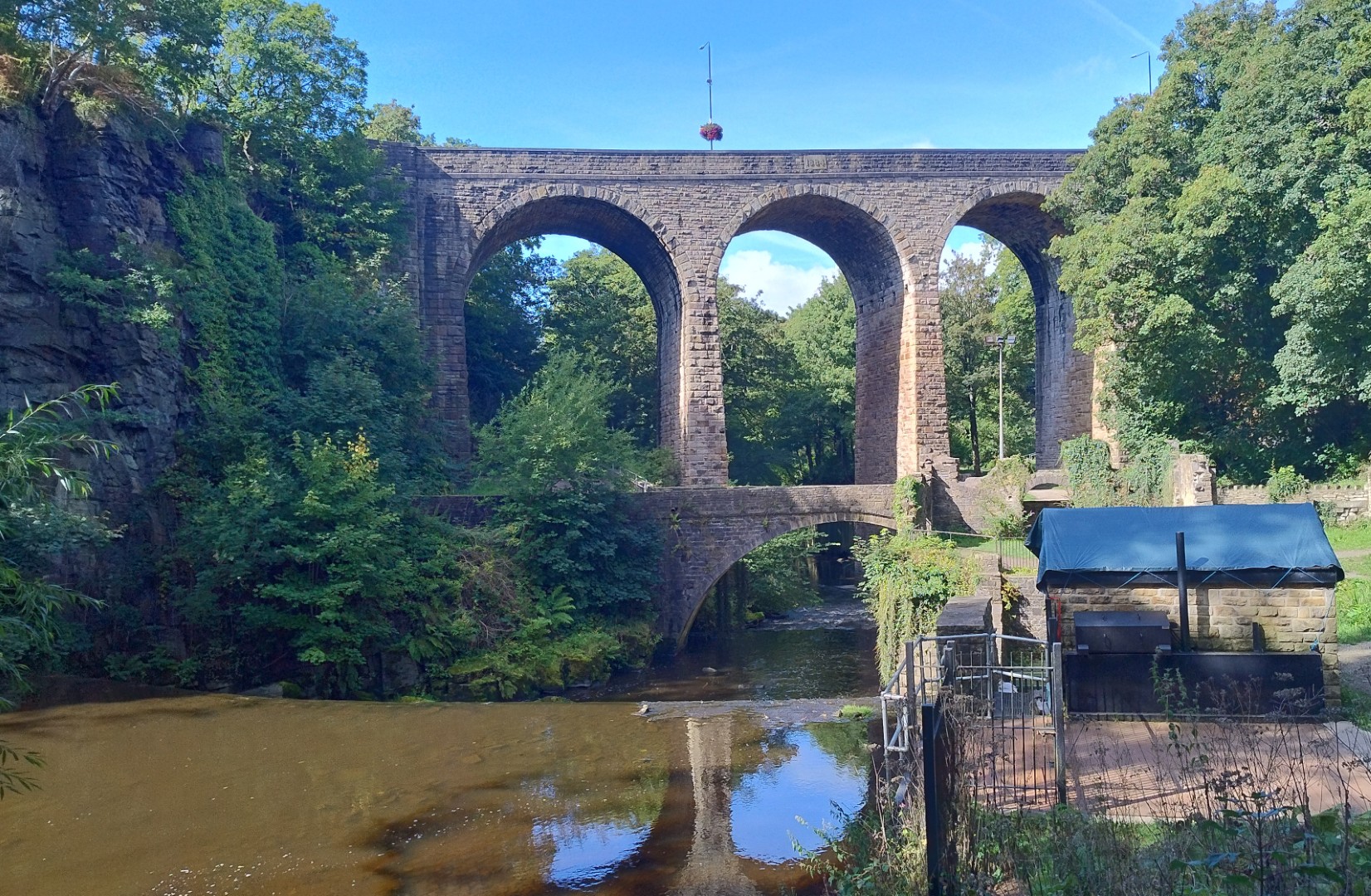
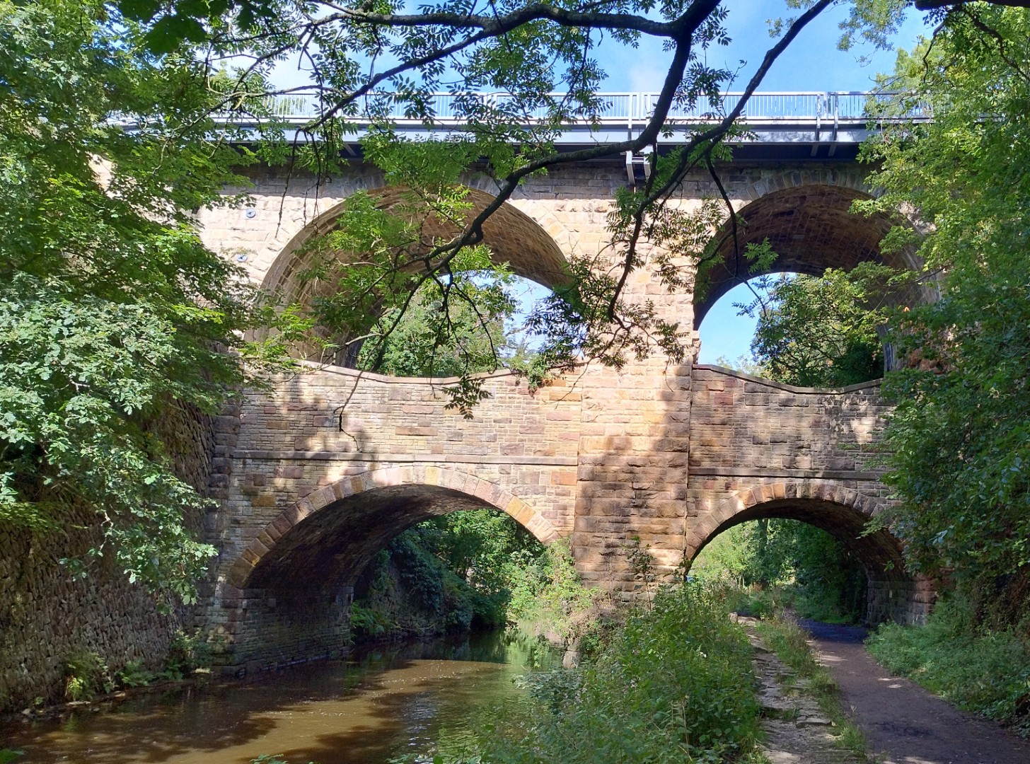
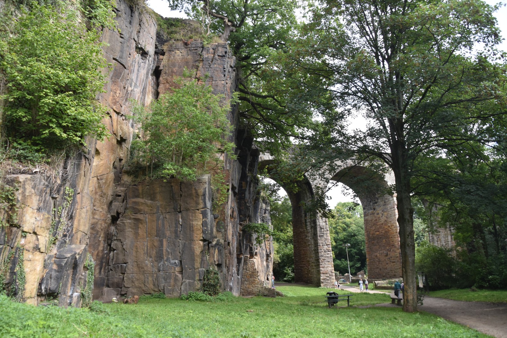
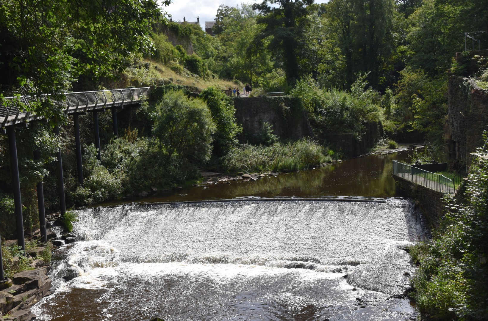
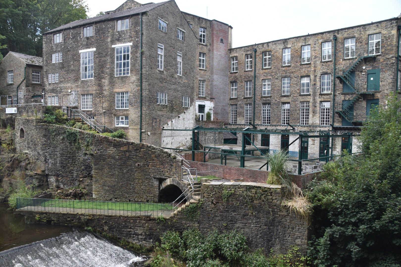
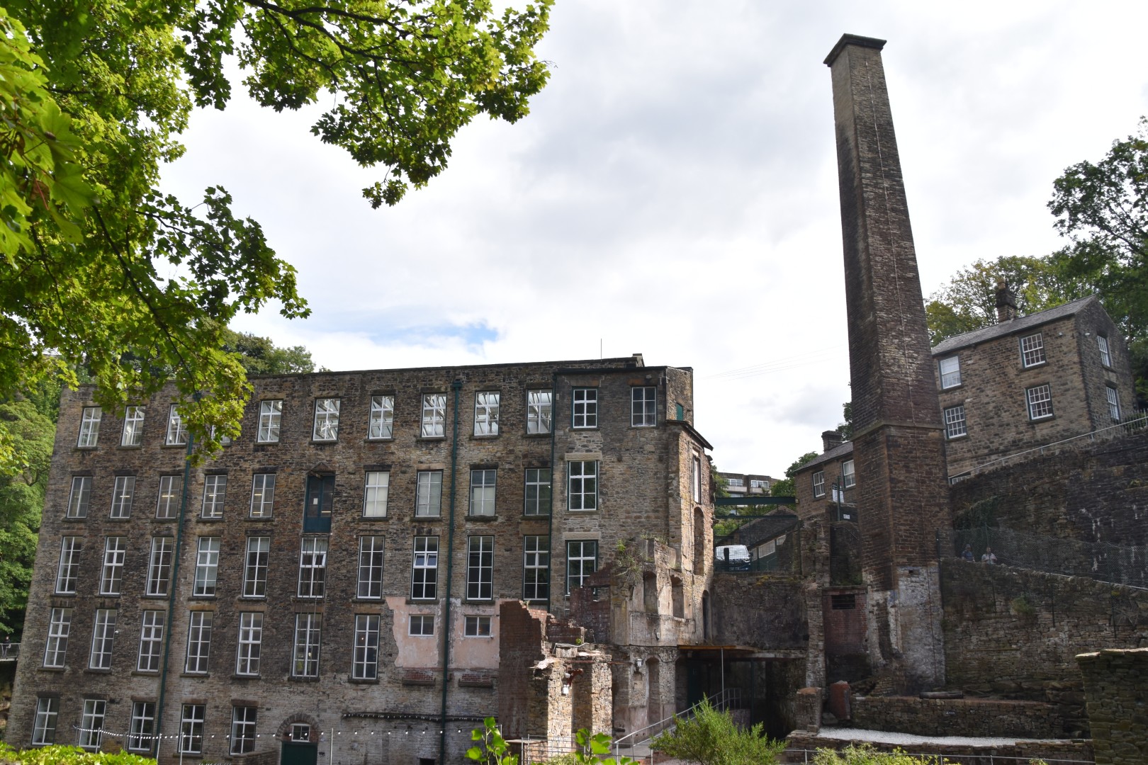
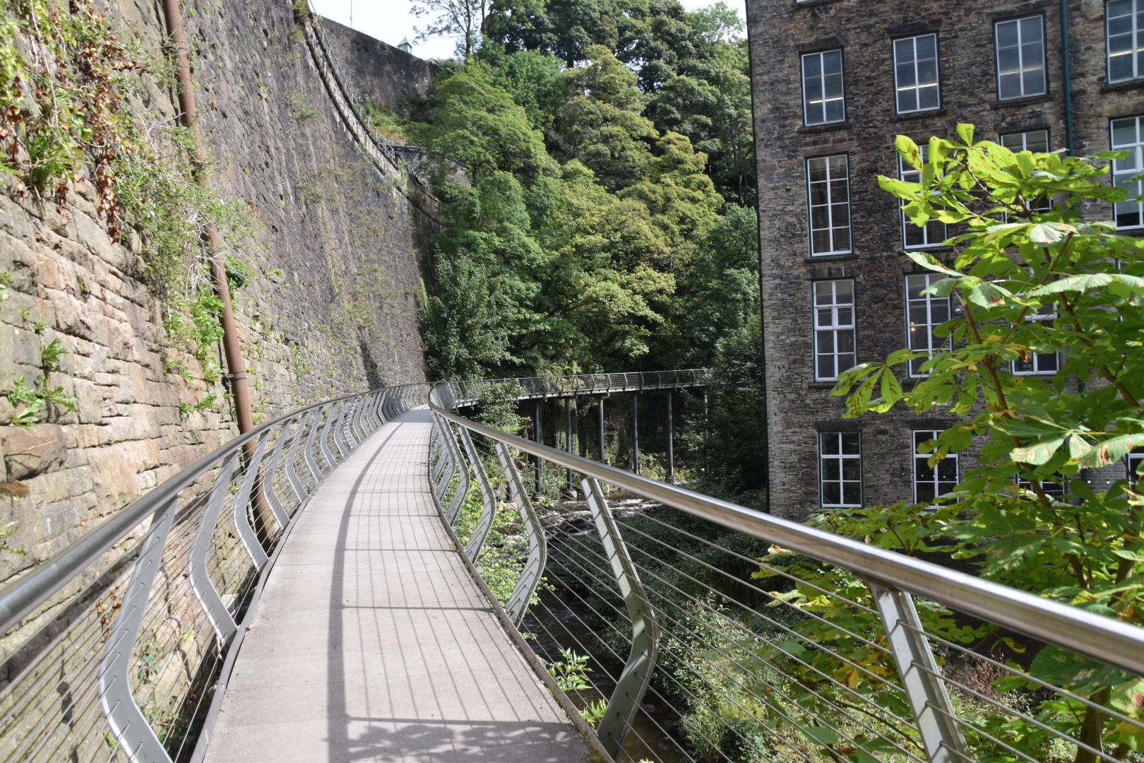
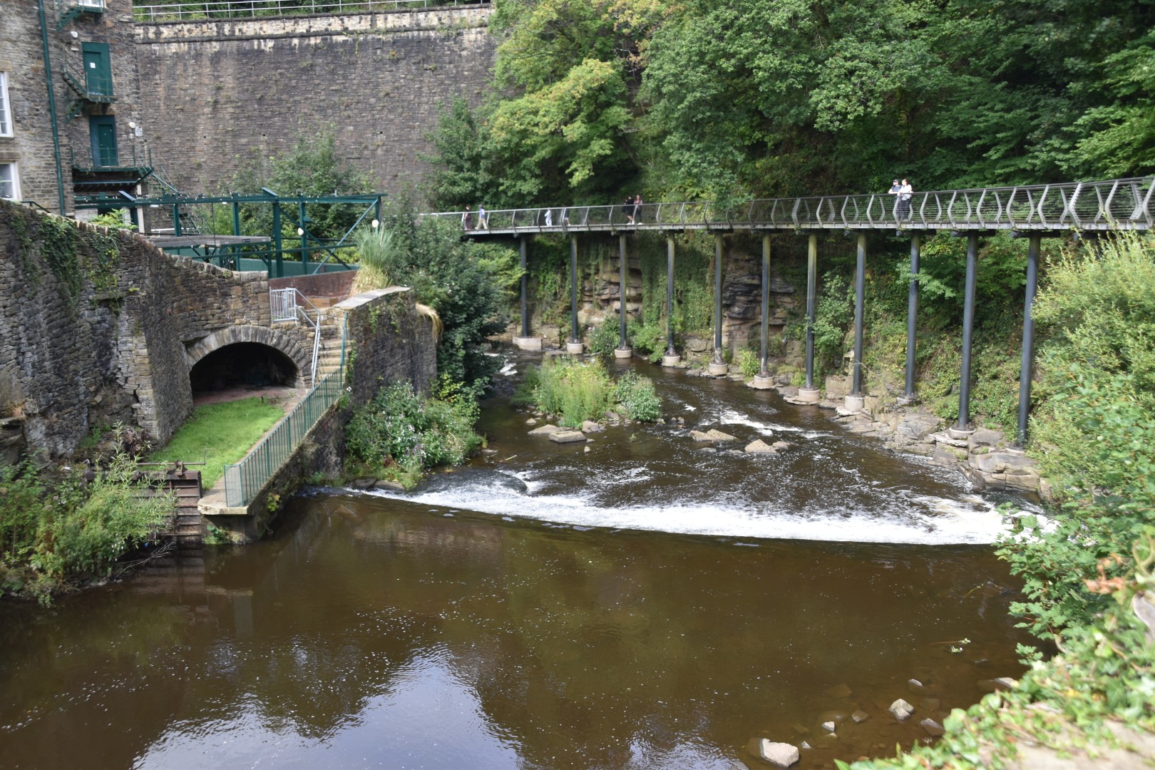
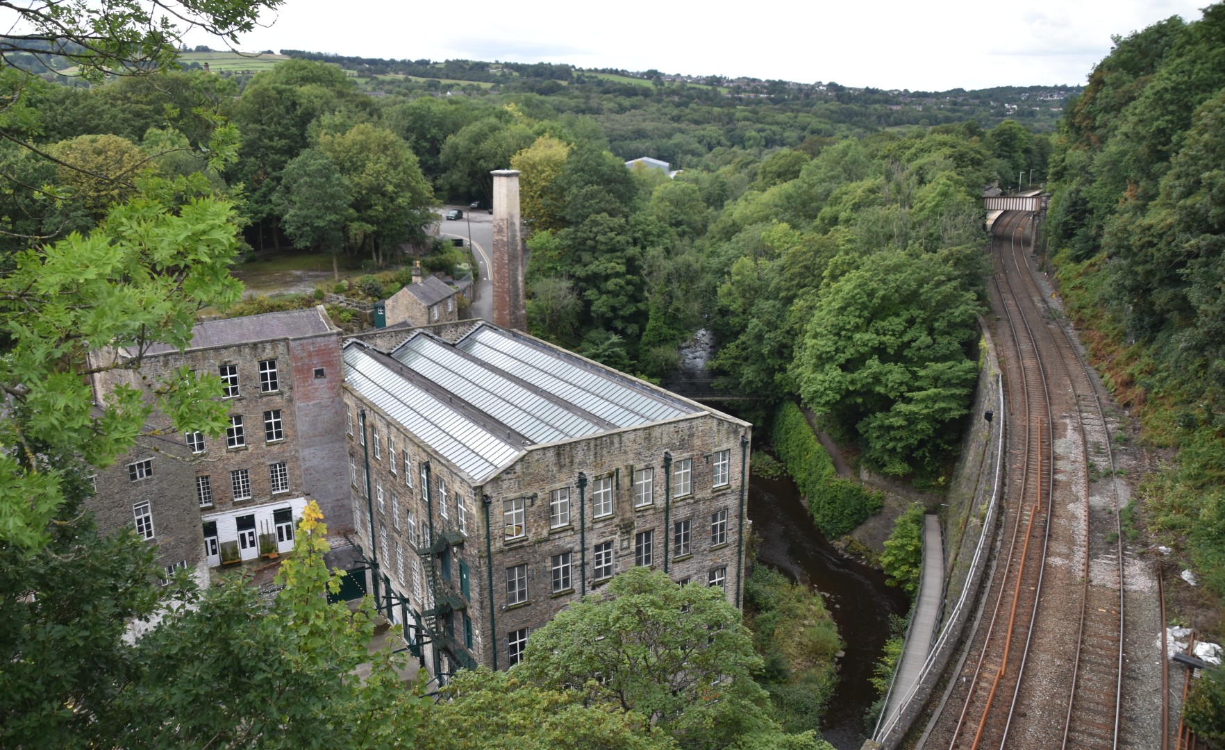
Ian had already walked through the Torrs Riverside Park at New Mills, admiring the double-arched road bridge, the Goyt River, the Torr Vale Mill, and the Millennium Walkway. Two rivers meet in the gorge, once powering the machinery of five mills. It’s a dramatic descent from the town, as I was to find out later. From where I parked, it was a long, steep, cobbled ramp all the way down to the river, where I also admired the bridges, cliff walls and rushing river. The climb back out was a good workout!
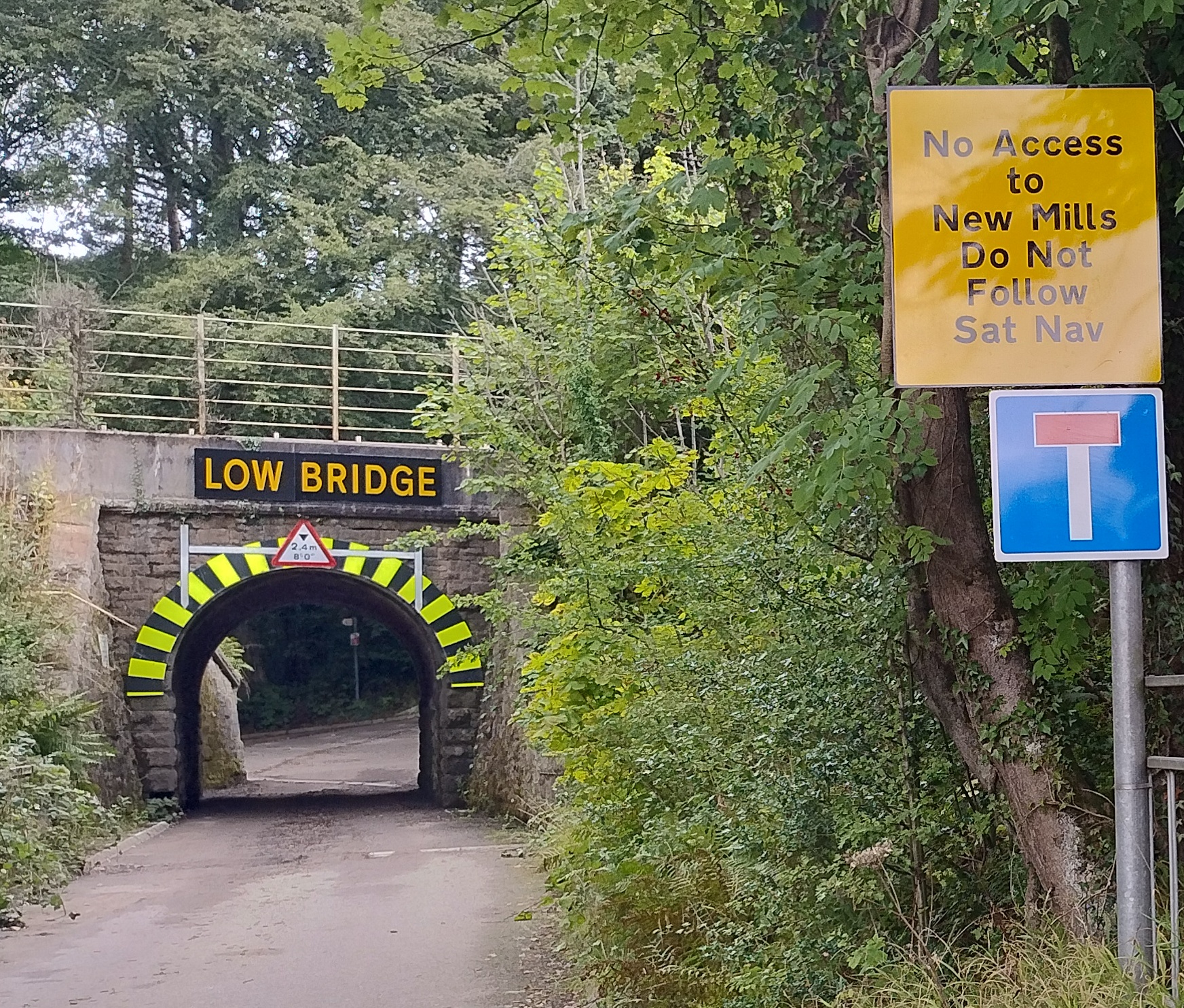
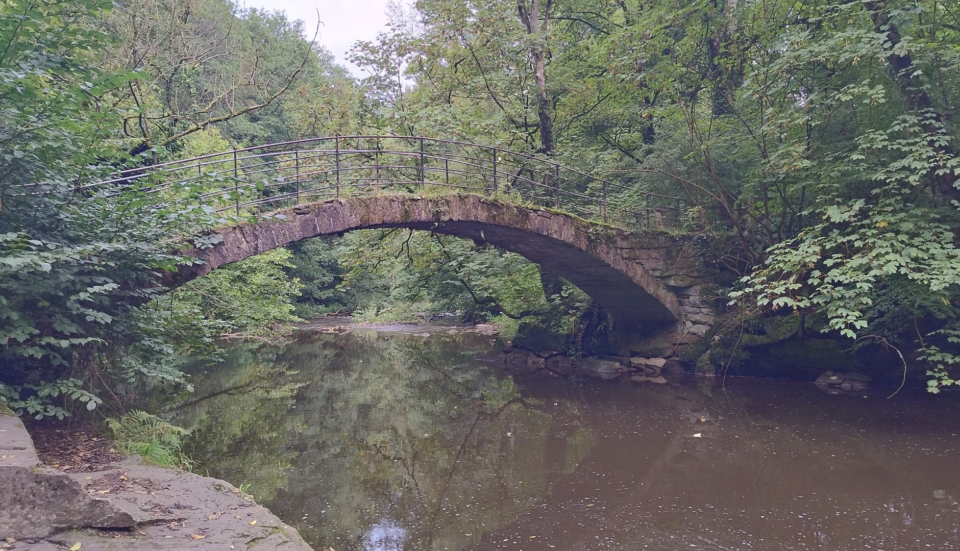
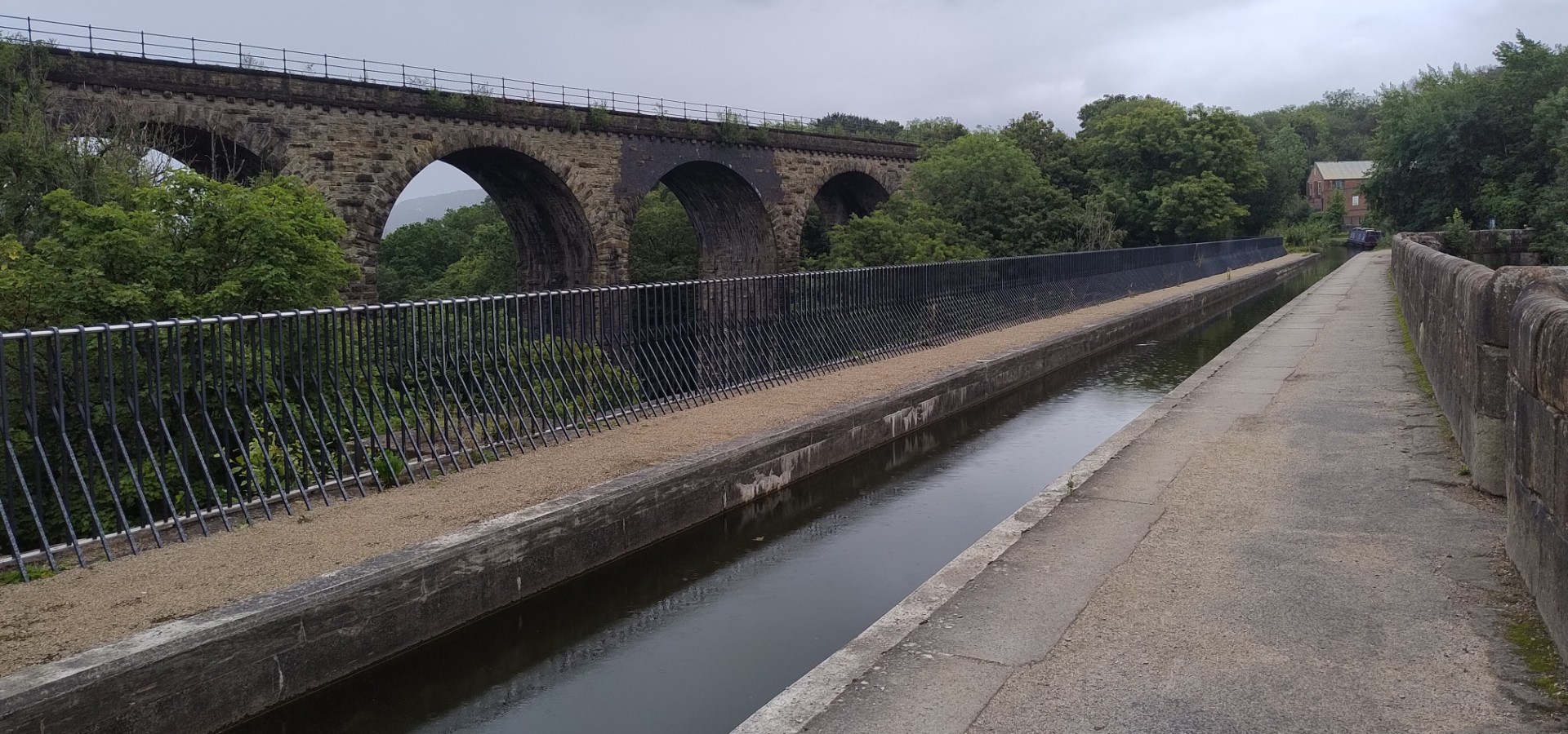
Ian’s walk took him on to Strines, whose station was the setting for The Railway Children. He spotted an interesting advisory road sign. Continuing on, he came across the picturesque “Roman Bridge” – which in fact is a packhorse bridge built in the 1700s. Through Marple, he followed the lock flight, a descent of some 200 feet using 16 locks, one of the steepest in the UK. He crossed the Marple Aqueduct, the highest in England and 90 feet above the river. It runs parallel to the railway viaduct.
I had also planned to stop in Marple to see these engineering wonders, but my time was running short, so I headed to our meeting point in nearby Romiley.
Ian completed 20 km, leaving another 23 km to finish the walk in the centre of Manchester.
 dipidydoo