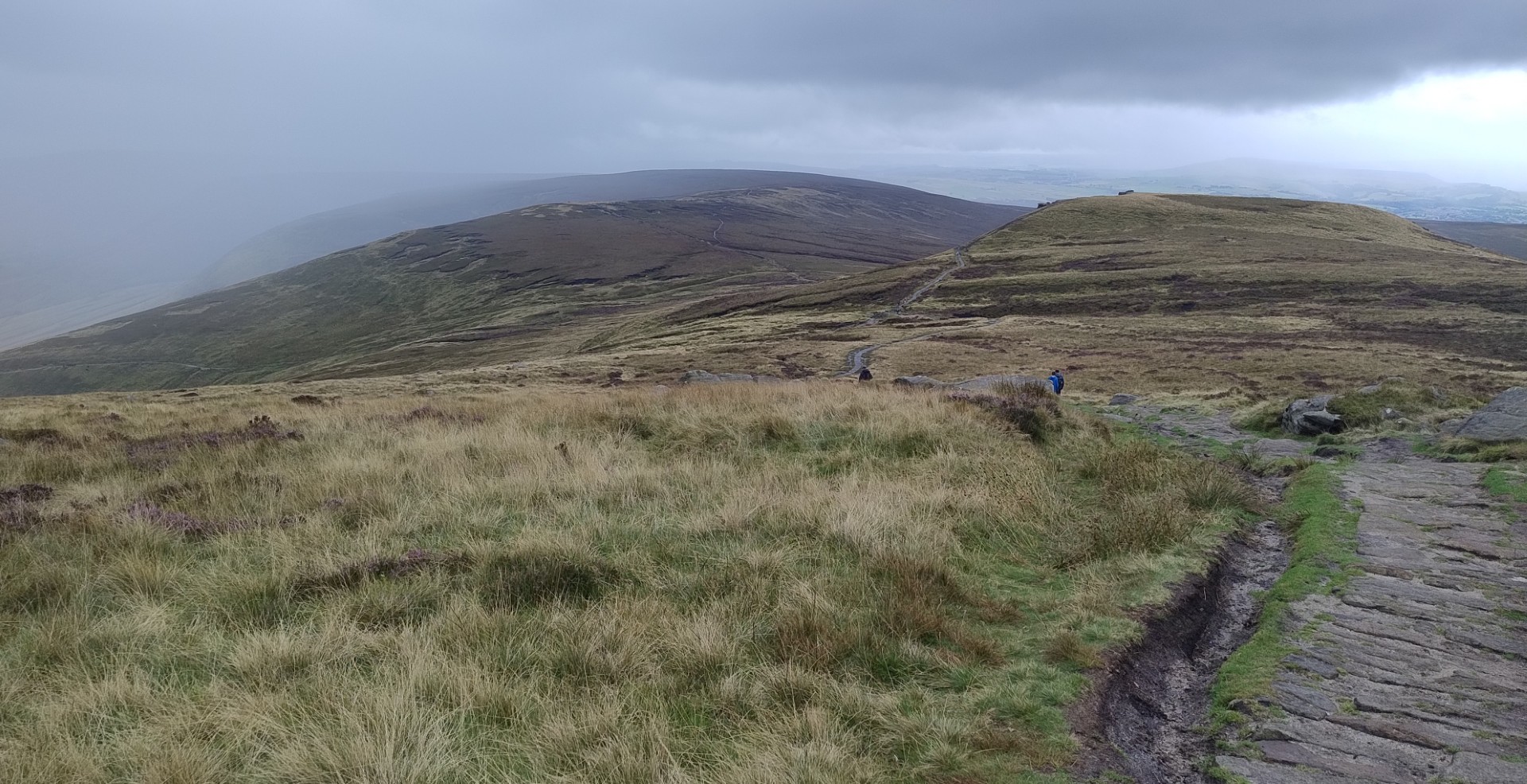
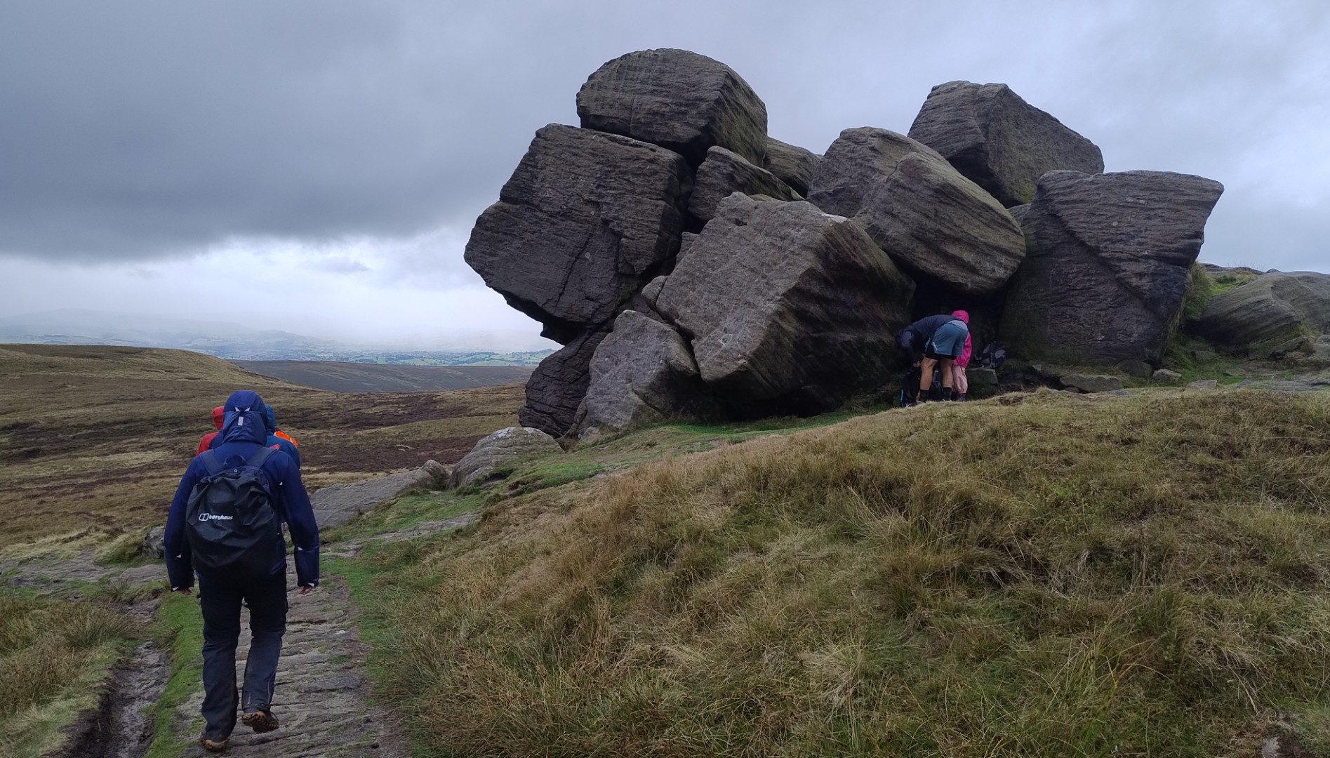
Every orienteer knows that map accuracy is vital. So of course that’s why Ian set off to walk across the Peak District National Park, with only a brochure that we picked up at Sheffield Station. This colour leaflet includes reasonable instructions, and a somewhat sketchy route map that is not to scale. Disclaimer: it does list the recommended Ordnance Survey maps. Of course there was also Google, but we all know how flaky that is when you’re not actually driving. And useless when coverage is patchy at best. What could possibly go wrong?
First a quick catchup. On our final night at Old Denaby, the power went out at around 9pm. No storm or wind, just flickering lights and the TV turned itself off. So we went to bed. At 4am the lights burst back into life. Problem resolved.
The next day we drove to Hillsborough, for a brief visit to the delightful Bricks and Bits toy (Lego) shop. You may remember the tragic stadium disaster of 1989. Said stadium was across the road.
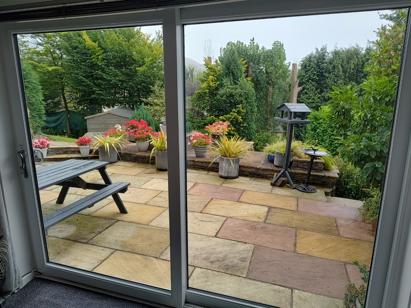
From there we headed west to Uppermill, our home base for the next week. We settled in quickly, enjoying the view over the terrace garden, to the hills beyond. With an uncertain weather forecast, we were keeping walking plans flexible.
Sunday morning brought heavy cloud, but after perusing the rain radar, Ian decided to head off. By the time we reached Hope, today’s starting point, the dark skies had given way to sunshine. Ian’s target was Chinley, a bit over 18 km. I had no particular plans, knowing that it was a holiday weekend and that parking anywhere would be next to impossible; I decided to wing it and see how things panned out. We drove over the rather spectacular Winnats Pass; there were hundreds of people running, walking, cycling, and sightseeing.
My prediction turned out to be correct. My first idea was to drive to Chatsworth House, where I could park, leave the car, and catch a double decker sightseer bus. The queue to park was about 100 cars long; by the time I got to the head of it, the bus had departed, and the next one would return too late for me to meet my pickup time for Ian. So I left, and wandered through a series of pretty but very busy villages – Bakewell, Eyam, Hathersage, Grindleford – all of them full of people making the most of the last weekend of summer. I resigned myself to sightseeing from behind the wheel, making stops when I came across supermarket car parks. Hence no photos from me.
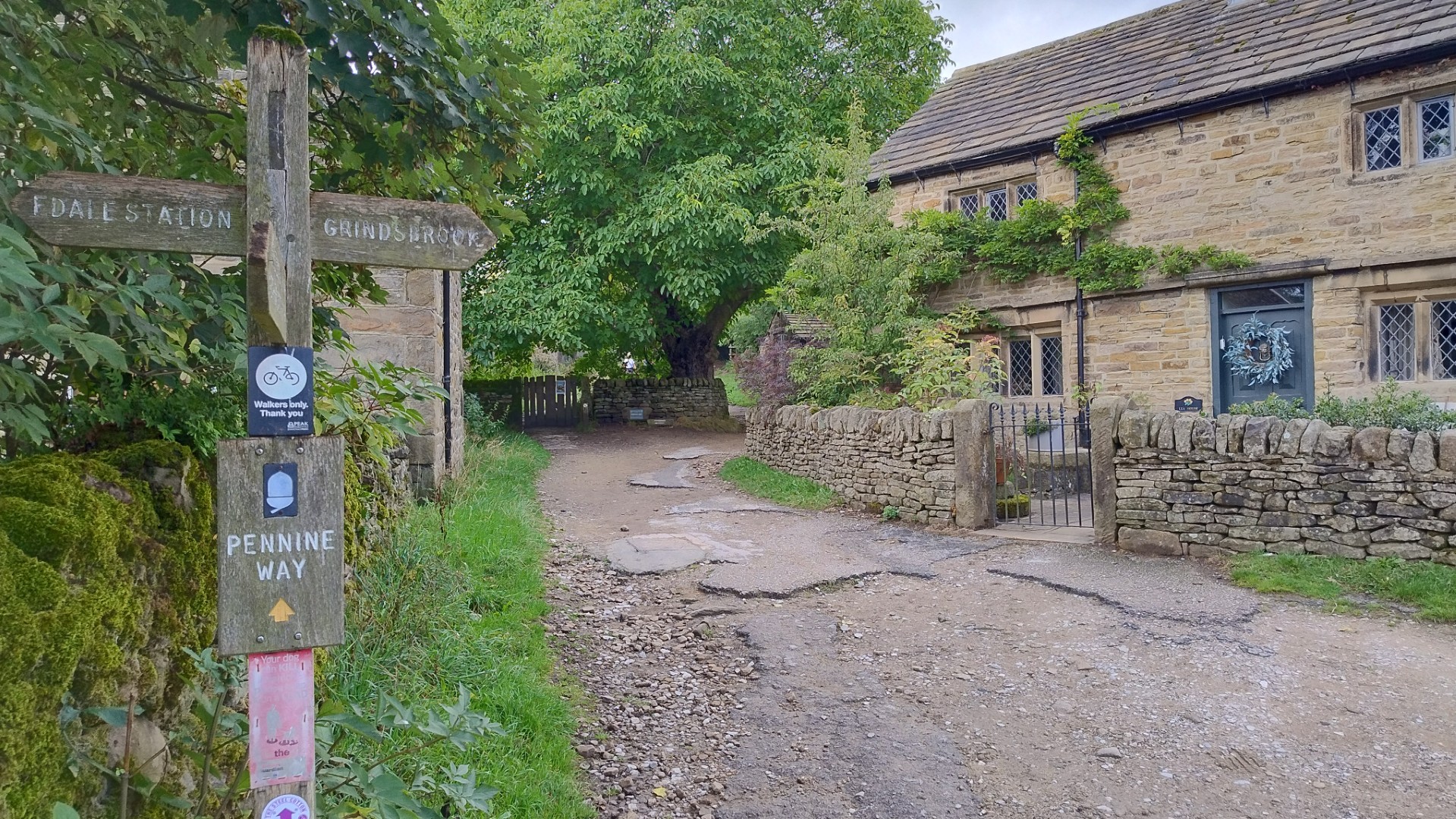
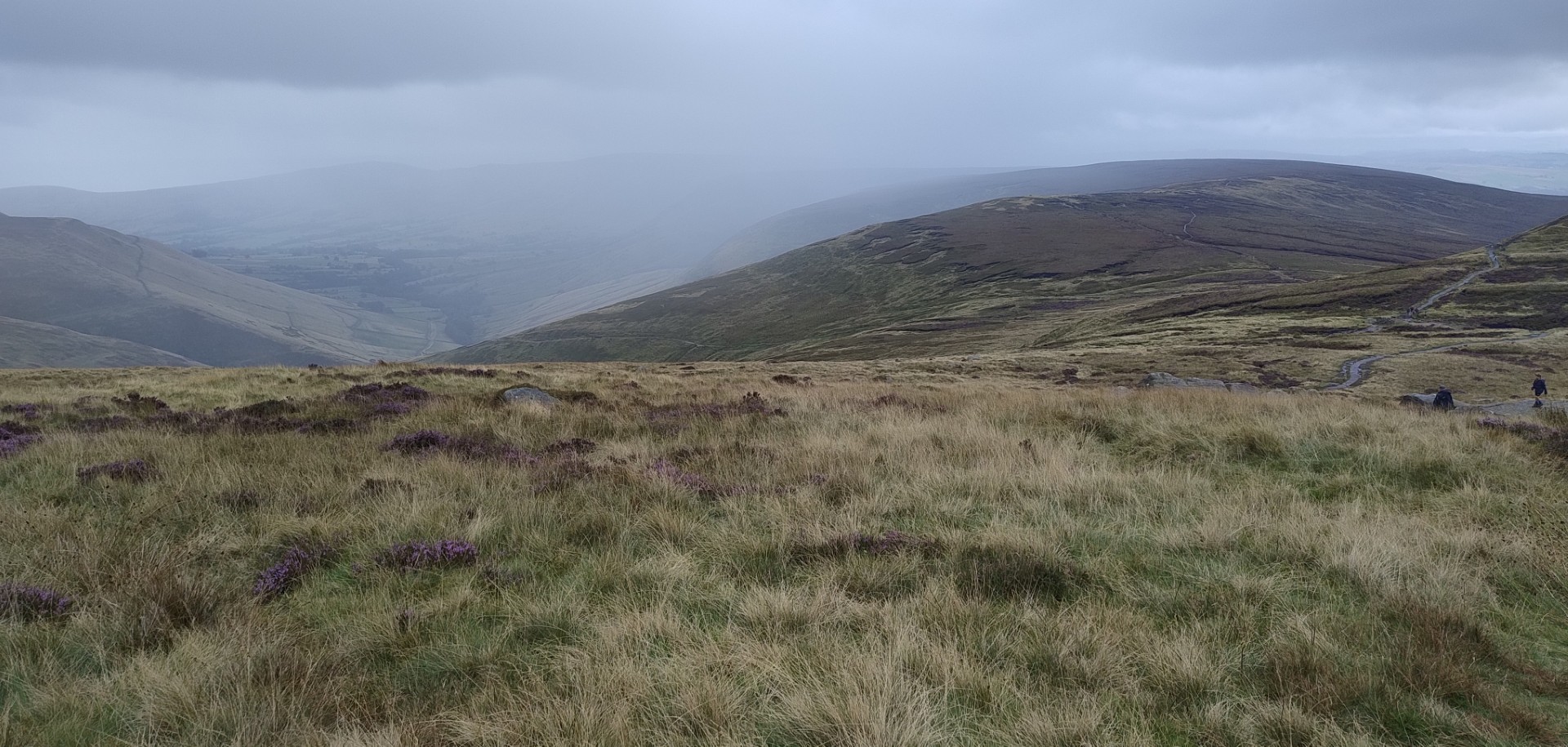
Meanwhile, Ian had reached Edale, where he stopped for lunch in a pleasant church yard. He texted me to say he expected to reach our meeting point at around 2.30pm. The stretch from Edale to Chinley starts along the Pennine Way. It goes up a long valley before it climbs the steep Jacobs Ladder track, heading to the peak of Kinder Scout. It is one of the most popular parts of the Peak District for walking, and Ian said he could see people on every hilltop, as well as passing many walkers on each of the numerous trails.
Somewhere near the top of Jacobs Ladder marked the point where he should have made a left turn and headed downhill towards Chinley. At least that’s what the instructions said. In Ian’s words, he was struck with “get there-it is”, and instead of checking, he followed the other walkers, continuing on the Pennine Way, headed for Scotland.
About 3 km later he realised that something wasn’t right. He’d walked off the top of the sketchy route map. Google was only working sporadically. He didn’t know exactly where he was, but he knew he wasn’t where he was supposed to be. Relocation time …
I had been waiting in the Aldi car park, munching my sandwich and looking at random videos, waiting for a text to say “come and get me”. My 90 minutes of free parking was almost up. So when I got a message that said “I’ve gone the wrong way; I might be another two hours”, I was not a happy camper.
Thereafter followed a period where we each tried to guess where the other might be; messages were not getting through. Ian didn’t know what road he would end up on. I didn’t know where to park and wait. And the sky was getting dark again.
Finally a text came through – “I’m above Kinder Reservoir, just got to work out how to get down to it”. I headed to the road nearest the dam wall. Turns out that road is where every hiker in the area parks their car. Also turns out that the further up that road you go, the narrower it gets. Until it becomes a track. On advice to turn around, I skilfully executed a 25-point turn, to the amusement of about a dozen teenaged hikers who found it more fun to watch me, than to continue walking.
In due course, Ian found his way off the escarpment and down to the reservoir. He finally found me at about 4pm – 90 minutes after we were supposed to meet up, and well north of Chinley. On the plus side, the rain held off, and he has seen more of the Peak District than he expected to. 18 km had turned into 23 km. Apart from sore feet, he was unscathed from his off route adventure. He said later a real map would have been rather useful. Understatement!
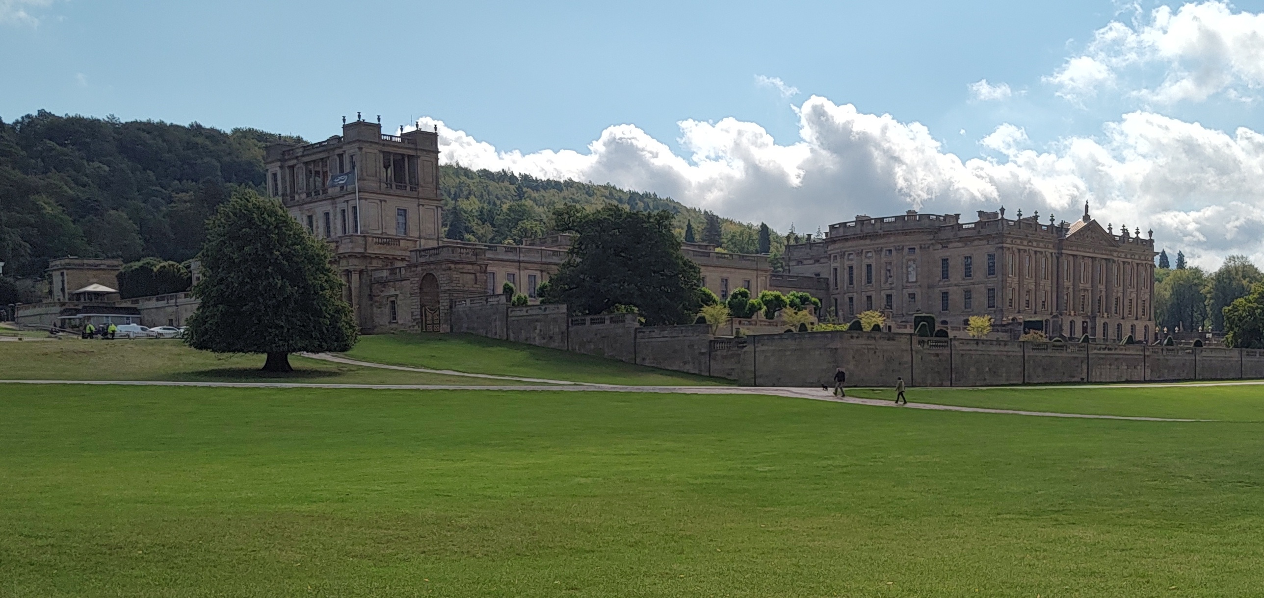
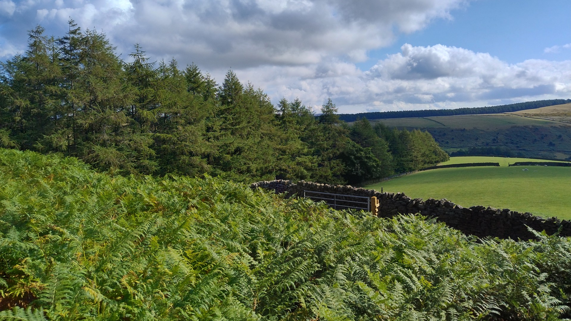
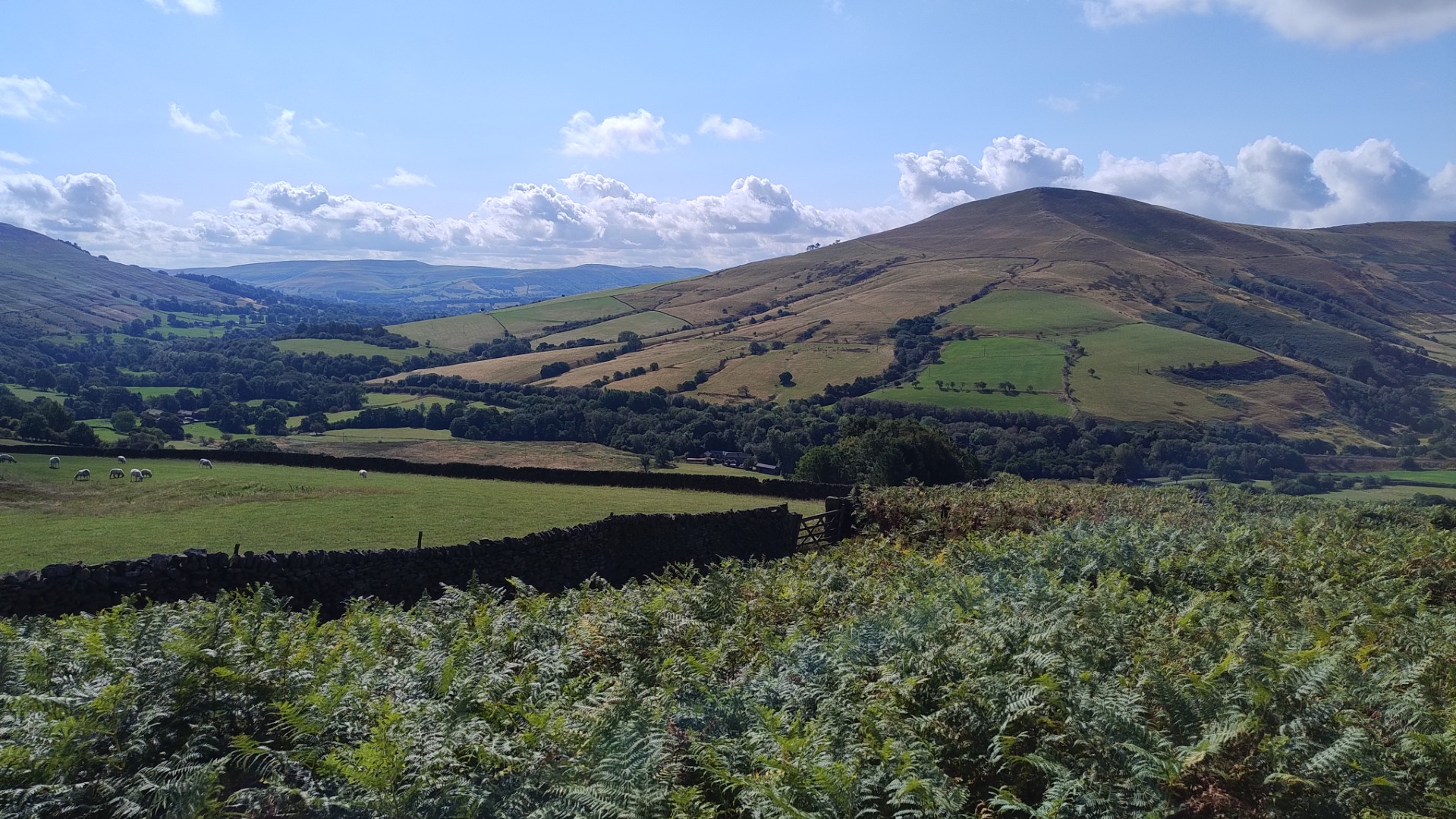
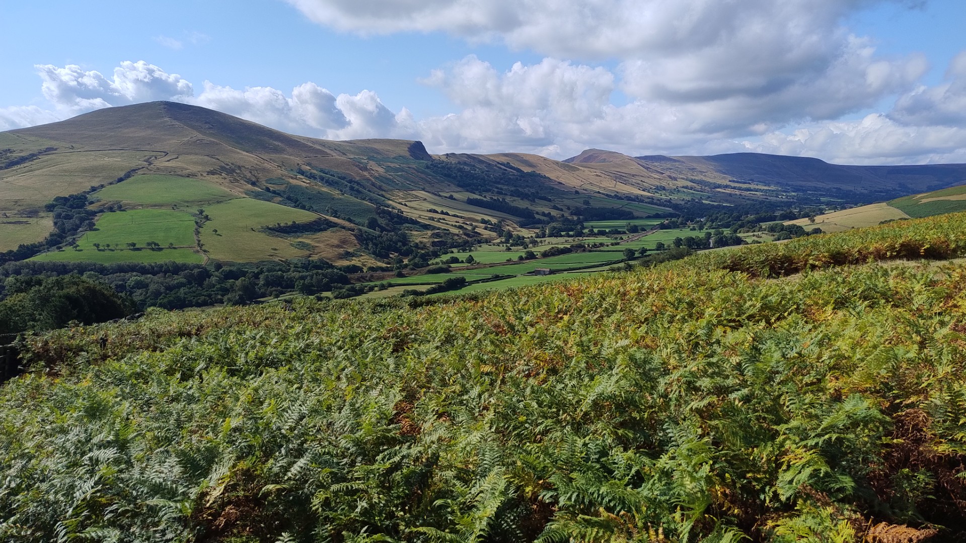
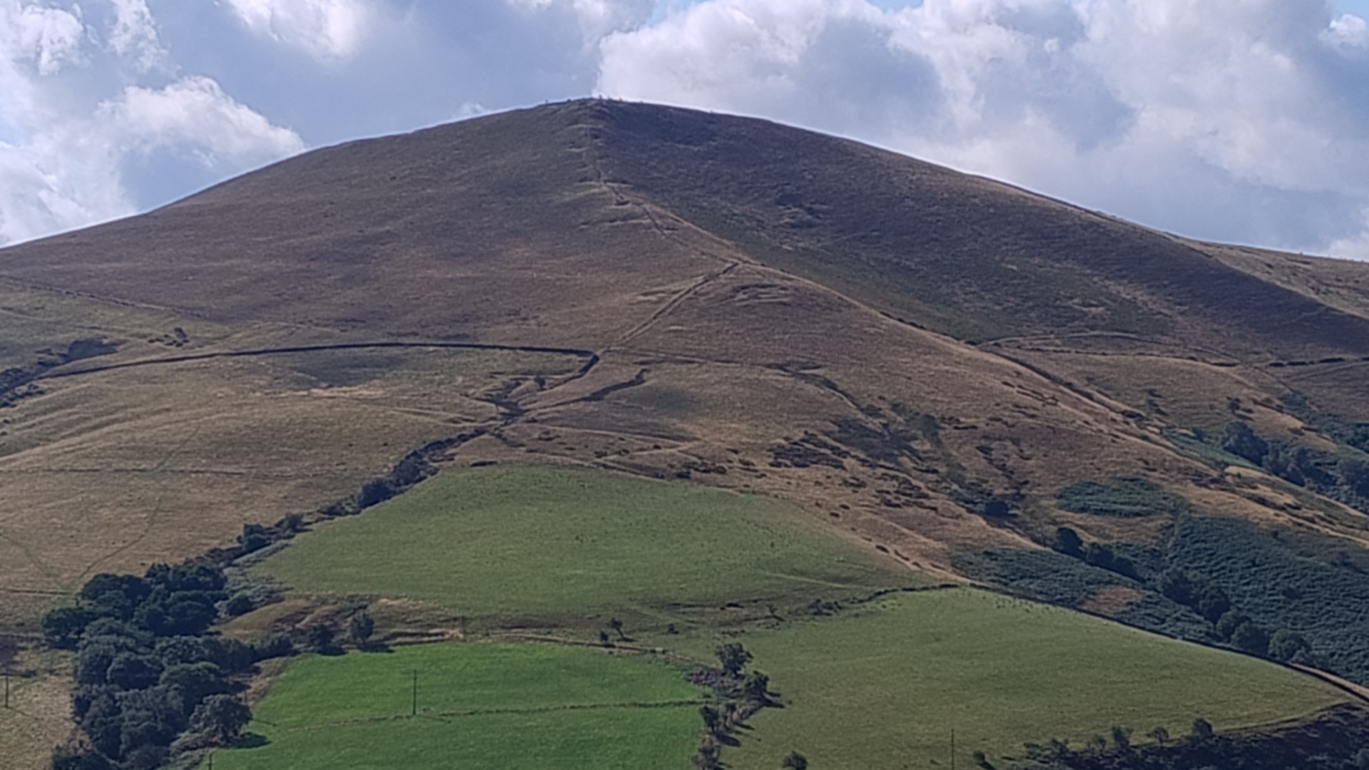
After the first two photos, the remainder are his, taken earlier in the day.
At 6pm it poured rain, and we were treated to a display of lightning over the hills. Ian’s day could have been a lot worse.